
This is a list of lighthouses in Martinique.[1][2]
Lighthouses
| Name | Image | Year built |
Location & Coordinates |
Class of Light [2] |
Focal height [2] |
NGA number [2] |
Admiralty number [2] |
Range nml [2] |
|---|---|---|---|---|---|---|---|---|
| Baie du Carénage Range Front Lighthouse | Image | n/a | Fort-de-France 14°36′14.6″N 61°03′44.2″W / 14.604056°N 61.062278°W |
Iso G 4s. | 12 metres (39 ft) | 14960 | J5784 | 18 |
| Baie du Carénage Range Rear Lighthouse | Image | n/a | Fort-de-France 14°36′18.2″N 61°03′43.2″W / 14.605056°N 61.062000°W |
Iso G | 14 metres (46 ft) | 14964 | J5784.1 | 18 |
| Baie du François Lighthouse | Image | n/a | Le Vauclin 14°38′09.2″N 60°53′28.7″W / 14.635889°N 60.891306°W |
Q WRG | 9 metres (30 ft) | 14934 | J5772.5 | white: 8 red: 6 green: 6 |
| Cape Chevalier Lighthouse | n/a | Sainte-Anne 14°26′07.8″N 60°49′37.1″W / 14.435500°N 60.826972°W |
Q WRG | 9 metres (30 ft) | 14937.05 | J5775 | white: 10 red: 7 green: 7 | |
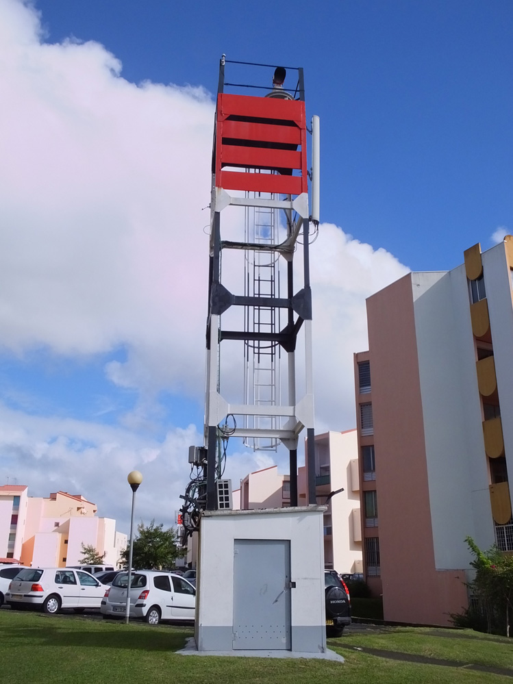
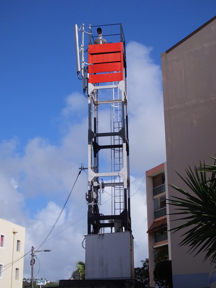
| Îlet à Cabrit Lighthouse | Image | 1929 est. | Sainte-Anne 14°23′31.0″N 60°52′04.0″W / 14.391944°N 60.867778°W |
Fl (4) W 15s. | 27 metres (89 ft) | 14940 | J5776 | 15 |
| La Caravelle Lighthouse | Image | 1862 | La Trinité 14°46′20.4″N 60°52′54.7″W / 14.772333°N 60.881861°W |
Fl (3) W 15s. | 159.25 metres (522.5 ft)[3] | 14932 | J5772 | 22 |
| Point du Marin Lighthouse | Image | n/a | Sainte-Anne 14°27′02.5″N 60°53′00.5″W / 14.450694°N 60.883472°W |
Q WRG | 7 metres (23 ft) | 14944 | J5777 | white: 9 red: 6 green: 6 |
| Pointe de Negres Lighthouse | Image | 1924 | Schœlcher 14°35′58.6″N 61°05′24.7″W / 14.599611°N 61.090194°W |
Fl W 5s. | 28 metres (92 ft) | 14948 | J5780 | 24 |
| Port-Vauclin Lighthouse | Image | n/a | Le Vauclin 14°33′05.4″N 60°50′10.2″W / 14.551500°N 60.836167°W |
Q WRG | 7 metres (23 ft) | 14936 | J5773 | white: 11 red: 9 green: 9 |
| Precheur Point Lighthouse | Image Archived 2016-10-14 at the Wayback Machine | 1929 | Le Prêcheur 14°48′06.8″N 61°13′33.0″W / 14.801889°N 61.225833°W |
Fl R 5s. | 12 metres (39 ft) | 14996 | J5790.5 | 15 |
See also
References
- ^ Rowlett, Russ. "Lighthouses of Martinique". The Lighthouse Directory. University of North Carolina at Chapel Hill. Retrieved 2016-08-29.
- ^ a b c d e f List of Lights, Pub. 110: Greenland, The East Coasts of North and South America (Excluding Continental U.S.A. Except the East Coast of Florida) and the West Indies (PDF). List of Lights. United States National Geospatial-Intelligence Agency. 2016.
- ^ Le phare de la Caravelle
External links
- Rowlett, Russ. "The Lighthouse Directory". University of North Carolina at Chapel Hill.
| Types |
|  | ||||
|---|---|---|---|---|---|---|
| Fixtures | ||||||
| Maintenance | ||||||
| Locations | ||||||
| Categories | ||||||
| Global organizations | ||||||