
| Lake Turgoyak | |
|---|---|
 | |
 Lake Turgoyak | |
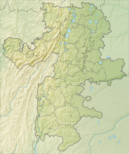
| Location | Chelyabinsk Oblast |
| Coordinates | 55°09′N 60°04′E / 55.150°N 60.067°E |
| Basin countries | Russia |
| Max. length | 6.9 km (4.3 mi) |
| Max. width | 6.2 km (3.9 mi) |
| Surface area | 26.38 km2 (10.19 sq mi) |
| Average depth | 19.2 m (63 ft) |
| Max. depth | 34 m (112 ft) |
| Shore length1 | 27 km (17 mi) |
| Surface elevation | 320 m (1,050 ft) |
| Frozen | 0 |
| Islands | 6 |
| Sections/sub-basins | 1 |
| Settlements | 2 |
| 1 Shore length is not a well-defined measure. | |
Turgoyak (Russian: Тургояк) is a lake in Chelyabinsk Oblast, near the city of Miass, Russia. It has a surface of 2638 hectares. The water of the lake has a great transparency (from 10-17.5 m). The quality of the water is comparable to that of Lake Baikal.
A megalithic monument is found on an island in the lake (Vera island), as well as ruins of a monastery.
The lake is a popular tourist destination with resorts and holiday camps.
YouTube Encyclopedic
-
1/3Views:1 340365337
-
Lake Turgoyak (озеро Тургояк) in South Ural, Russia
-
Turgoyak & Taganay - wycieczka na Południowy Ural
-
Озеро Тургояк - Lake Turgoyak 2016 South Ural)
Transcription
Gallery


External links
- Map (in Russian)
- Lake Turgoyak Photographs
55°09′N 60°04′E / 55.150°N 60.067°E