
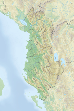
| Butrint Lagoon | |
|---|---|
 Panoramic view of Lake Butrint | |
 Butrint Lagoon | |
| Location | Sarandë, Vlorë |
| Coordinates | 39°47′0″N 20°2′0″E / 39.78333°N 20.03333°E |
| Basin countries | Albania |
| Max. length | 7.1 km (4.4 mi) |
| Max. width | 3.3 km (2.1 mi) |
| Surface area | 16 km2 (6.2 sq mi)[1] |
| Average depth | 11.4 m (37 ft) |
| Max. depth | 24.4 m (80 ft) |
| Surface elevation | 1 m (3.3 ft) |
Butrint Lagoon (Albanian: Laguna e Butrintit) is a salt lagoon south of Saranda, Albania, located in direct proximity of the Ionian Sea. It is surrounded by dense forested hills, rocky coast and complemented by saltwater and freshwater marshlands. The lake has a length of 7.1 km (4.4 mi) and a width of 3.3 km (2.1 mi), with a surface area of 16 km2 (6.18 sq mi).[2] The maximum depth of the lake is 24.4 m (80 ft).[3] At the south, the Vivari Channel connects the lagoon to the sea.
Flora and fauna
Butrint is particularly known for the diversity of flora and fauna.[4][5] The southern portion of the lake is situated within the boundaries of Butrint National Park and has been recognised as a wetland of international importance by designation under the Ramsar Convention.[6] The lake has been as well identified as an Important Bird and Plant Area, because it supports significant numbers of bird and plant species.[7][8]
 |
 |
 |
See also
- Butrinti
- Butrint National Park
- Venetian Acropolis Castle
- Venetian Triangular Castle
- Channel of Vivari
- Geography of Albania
- Lakes of Albania & Lagoons of Albania
References
- ^ Ramsar Convention. "Information Sheet on Ramsar Wetlands (Ris): Butrint (Albania)" (PDF). rsis.ramsar.org. p. 3.
- ^ Ramsar Convention. "Information Sheet on Ramsar Wetlands (Ris): Butrint (Albania)" (PDF). rsis.ramsar.org. p. 3.
- ^ "Natural and human-induced environmental change in southern Albania for the last 300 years — Constraints from the Lake Butrint sedimentary record" (PDF). limnogeology.ethz.ch. p. 3.
Lake Butrint has an area of ~1600 ha and a mean water depth of 11.4 m, with a maximum of 21.4 m.
- ^ Ramsar Convention. "Information Sheet on Ramsar Wetlands (Ris): Butrint (Albania)" (PDF). rsis.ramsar.org. p. 2.
- ^ Zotaj, Albana. "BUTRINT NATIONAL PARK MANAGEMENT PLAN" (PDF). academia.edu. p. 42.
Flora of the BNP area is rich and very diverse with an expected 800-900 plant species, of which half of them are already reported.
- ^ Ramsar (August 4, 2010). "The list of wetlands of international importance" (PDF) (in English and Spanish). Ramsar. p. 5. Retrieved 14 August 2010.
- ^ BirdLife International. "Lake Butrinti". datazone.birdlife.org.
- ^ IUCN, World Wide Fund for Nature, Plantlife. "Important Plant Areas of the south and east Mediterranean region" (PDF). portals.iucn.org. p. 75.
{{cite web}}: CS1 maint: multiple names: authors list (link)
| |||||||||||||||