
Kong Krailat
กงไกรลาศ | |
|---|---|
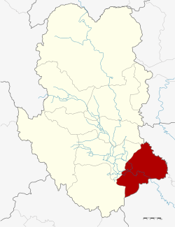 District location in Sukhothai province | |
| Coordinates: 16°57′9″N 99°58′34″E / 16.95250°N 99.97611°E | |
| Country | Thailand |
| Province | Sukhothai |
| Seat | Ban Krang |
| Area | |
| • Total | 502.382 km2 (193.971 sq mi) |
| Population (2005) | |
| • Total | 64,521 |
| • Density | 128.4/km2 (333/sq mi) |
| Time zone | UTC+7 (ICT) |
| Postal code | 64170 |
| Geocode | 6404 |
Kong Krailat (Thai: กงไกรลาศ, pronounced [kōŋ krāj.lâːt]) is a district (amphoe) in the southeastern part of Sukhothai province, in the lower northern region of Thailand.[1][2]
Geography
Neighboring districts are (from the southwest clockwise): Khiri Mat and Mueang Sukhothai of Sukhothai Province, Phrom Phiram and Bang Rakam of Phitsanulok province.
History
The district was renamed from Ban Krai to Kong Krailat in 1939.[3]
Administration
The district is divided into 11 sub-districts (tambons), which are further subdivided into 126 villages (mubans). The township (thesaban tambon) Kong Krailat covers parts of tambons Kong, Ban Krang and Pa Faek. There are a further 10 tambon administrative organizations (TAO).
| No. | Name | Thai name | Villages | Pop. | |
|---|---|---|---|---|---|
| 1. | Kong | กง | 13 | 5,947 | |
| 2. | Ban Krang | บ้านกร่าง | 12 | 4,175 | |
| 3. | Krai Nok | ไกรนอก | 15 | 4,501 | |
| 4. | Krai Klang | ไกรกลาง | 8 | 3,924 | |
| 5. | Krai Nai | ไกรใน | 15 | 7,973 | |
| 6. | Dong Dueai | ดงเดือย | 11 | 6,478 | |
| 7. | Pa Faek | ป่าแฝก | 13 | 6,102 | |
| 8. | Kok Raet | กกแรต | 12 | 5,252 | |
| 9. | Tha Chanuan | ท่าฉนวน | 12 | 9,888 | |
| 10. | Nong Tum | หนองตูม | 7 | 5,400 | |
| 11. | Ban Mai Suk Kasem | บ้านใหม่สุขเกษม | 8 | 4,881 |
References
- ^ http://www.sukhothai.go.th/3584/data/data_01.htm
- ^ "Tourism Investment Geo-Informatic Systems - Tourism Investment Geo-Informatic Systems". Archived from the original on 2016-11-04. Retrieved 2016-11-03.
- ^ พระราชกฤษฎีกาเปลี่ยนนามอำเภอ กิ่งอำเภอ และตำบลบางแห่ง พุทธศักราช ๒๔๘๒ (PDF). Royal Gazette (in Thai). 56 (ก): 354–364. April 17, 1939. Archived from the original (PDF) on February 19, 2009.
External links
 | ||
This Sukhothai Province location article is a stub. You can help Wikipedia by expanding it. |