To install click the Add extension button. That's it.

The source code for the WIKI 2 extension is being checked by specialists of the Mozilla Foundation, Google, and Apple. You could also do it yourself at any point in time.

4,5
Kelly Slayton
Congratulations on this excellent venture… what a great idea!
Alexander Grigorievskiy
I use WIKI 2 every day and almost forgot how the original Wikipedia looks like.
Live Statistics
English Articles
Improved in 24 Hours
Added in 24 Hours
Languages
Recent
Show all languages
What we do. Every page goes through several hundred of perfecting techniques; in live mode. Quite the same Wikipedia. Just better.
.
Leo
Newton
Brights
Milds

Kojata (river)

From Wikipedia, the free encyclopedia

Kojata
Location
CountryKyrgyzstan
Physical characteristics
MouthKara-Suu
 • coordinates
41°39′50″N 72°02′57″E / 41.6638°N 72.0492°E / 41.6638; 72.0492
Length18 km (11 mi)
Basin size280 km2 (110 sq mi)
Basin features
ProgressionKara-SuuNarynSyr DaryaNorth Aral Sea

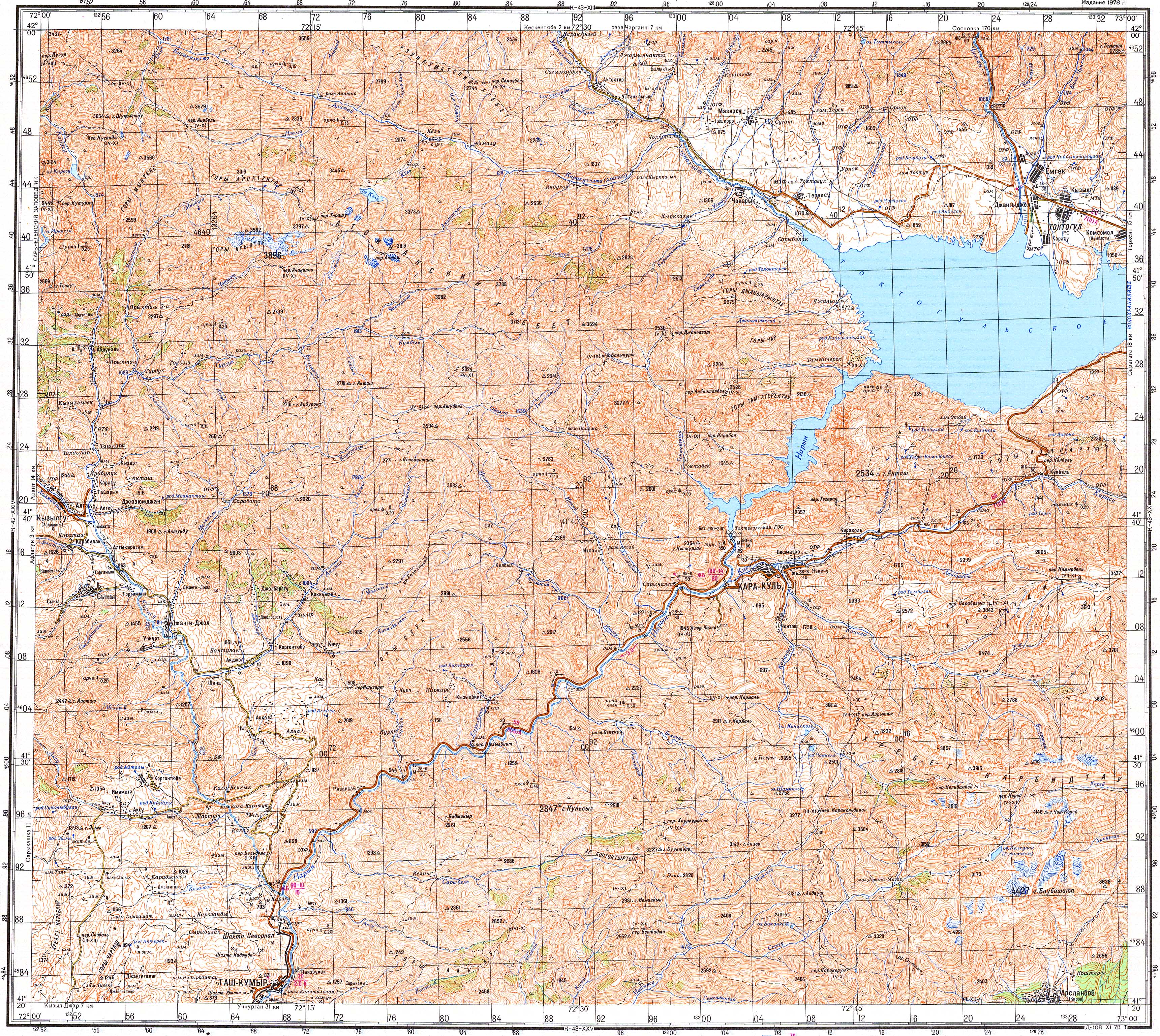
The Kojata (Kyrgyz: Кожата) is a right tributary of the Kara-Suu in Jalal-Abad Region, Kyrgyzstan. Its source is in the Chatkal Range, western Tian Shan mountains, and is fed by the Toskool, which flows out of Lake Sary-Chelek. It is 18 km long and has a drainage basin of 280 km2.[1] It discharges into the Kara-Suu near Kyzyl-Tuu.[2]

References

  1. ^ "Кожата" [Kojata] (PDF). Кыргызстандын Географиясы [Geography of Kyrgyzstan] (in Kyrgyz). Bishkek. 2004. p. 196.{{cite encyclopedia}}: CS1 maint: location missing publisher (link)
  2. ^ Soviet military map K-43-19 (1:200,000)


This page was last edited on 28 March 2024, at 17:25
Basis of this page is in Wikipedia. Text is available under the CC BY-SA 3.0 Unported License. Non-text media are available under their specified licenses. Wikipedia® is a registered trademark of the Wikimedia Foundation, Inc. WIKI 2 is an independent company and has no affiliation with Wikimedia Foundation.