
| Kievsky Yogan Киевский Ёган / Ки́евскэл кыге́ | |
|---|---|
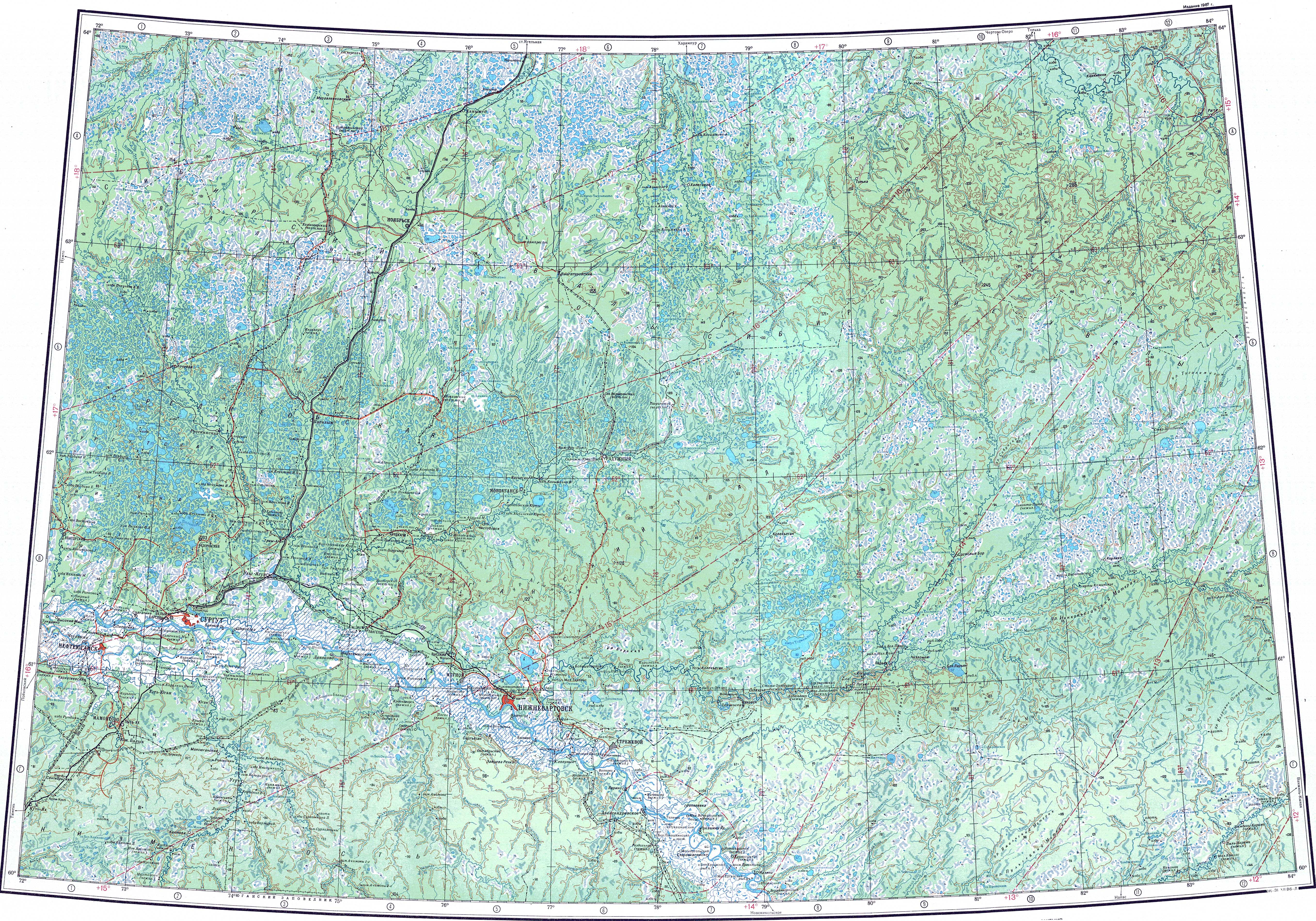
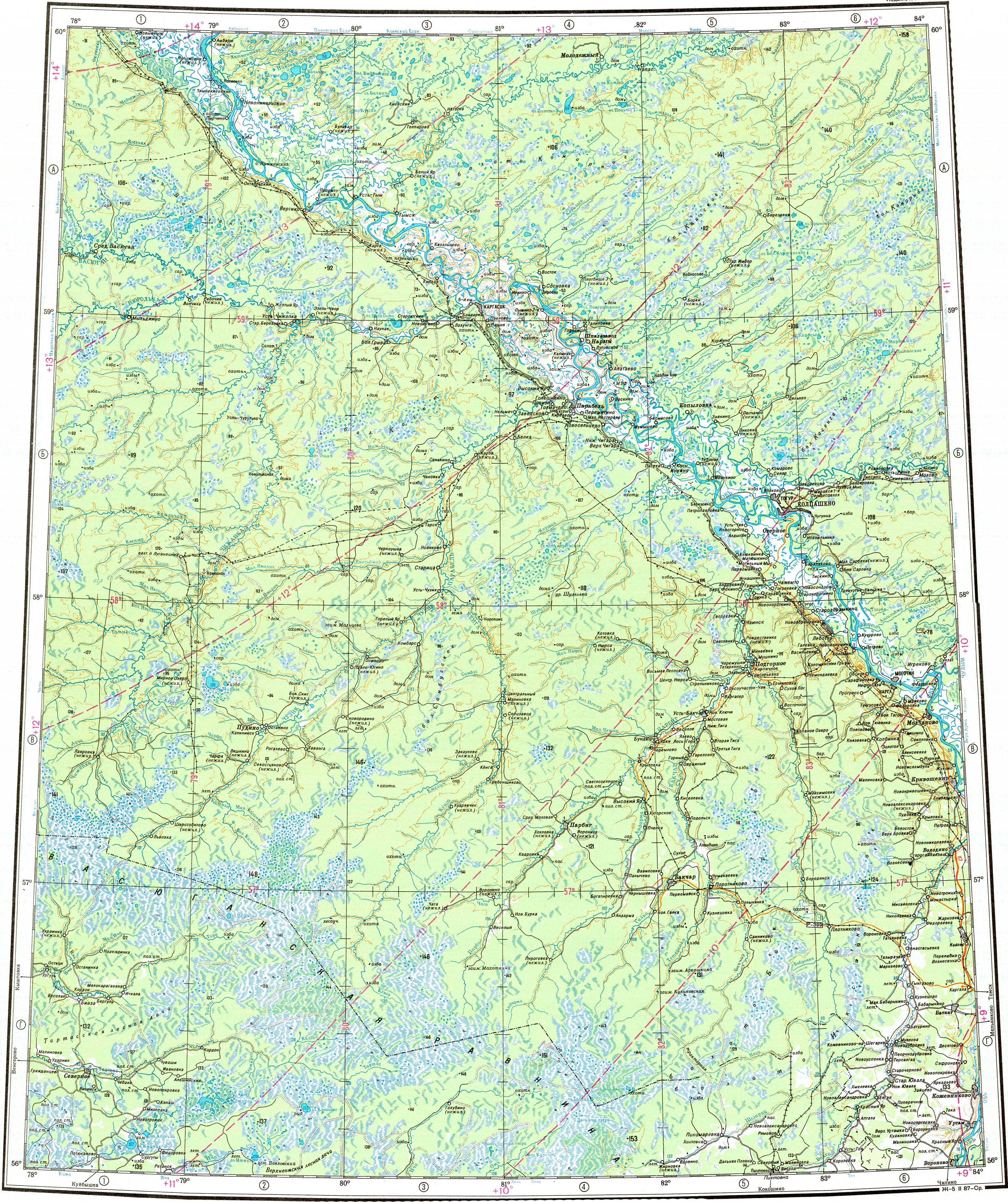
 Course of the Kievsky Yogan ONC map section | |
 Mouth location in Tomsk Oblast, Russia | |
| Location | |
| Country | Russia |
| Physical characteristics | |
| Source | Central Siberian Plateau |
| • coordinates | 60°44′13″N 80°26′08″E / 60.73694°N 80.43556°E |
| • elevation | 98 m (322 ft) |
| Mouth | Ob |
• location | Kyev canal |
• coordinates | 59°40′44″N 79°35′13″E / 59.67889°N 79.58694°E |
• elevation | 42 m (138 ft) |
| Length | 339 km (211 mi) |
| Basin size | 4,140 km2 (1,600 sq mi) |
| Discharge | |
| • average | 250 m3/s (8,800 cu ft/s) |
| Basin features | |
| Progression | Ob→ Kara Sea |
The Kievsky Yogan (Russian: Киевский Ёган; Selkup: Ки́евскэл кыге́) is a river in Tomsk Oblast, Russia. The river is 339 kilometres (211 mi) long and has a catchment area of 4,140 square kilometres (1,600 sq mi).[1]
The Kievsky Yogan flows across the Central Siberian Plateau. Its basin is located in the Alexandrovsky District. There are no permanent settlements along the course of the river.[2]
Course
The Kievsky Yogan is a right tributary of the Ob river. It flows in a roughly SSW direction along a very swampy area. In its lower reaches there are numerous lakes. Finally it meets an arm of the Ob, the Kiev Channel (проток Киевская), 68 km (42 mi) from its mouth in the right bank of the Ob.[3][4][5]
Tributaries
The main tributary of the Kievsky Yogan is the 77 km (48 mi) long Bolshaya (Большая) on the left.[3][1] The river is fed by snow and rain.[2]
See also
References
- ^ a b "Река Киевский Еган in the State Water Register of Russia". textual.ru (in Russian).
- ^ a b Киевский Ёган; Great Soviet Encyclopedia in 30 vols. — Ch. ed. A.M. Prokhorov. - 3rd ed. - M. Soviet Encyclopedia, 1969-1978.(in Russian)
- ^ a b "P-43_44 Topographic Chart (in Russian)". Retrieved 26 June 2022.
- ^ "O-44 Topographic Chart (in Russian)". Retrieved 26 June 2022.
- ^ Google Earth
External links
This article related to a river in Russia is a stub. You can help Wikipedia by expanding it. |