
Kashti | |
|---|---|
village | |
 Kashti Location in Maharashtra, India  Kashti Kashti (India) | |
| Coordinates: 20°37′20″N 074°28′59″E / 20.62222°N 74.48306°E | |
| Country | |
| State | Maharashtra |
| District | Nashik |
| Taluka | Malegaon |
| Government | |
| • Body | Village panchayat |
| Time zone | UTC+5:30 (IST) |
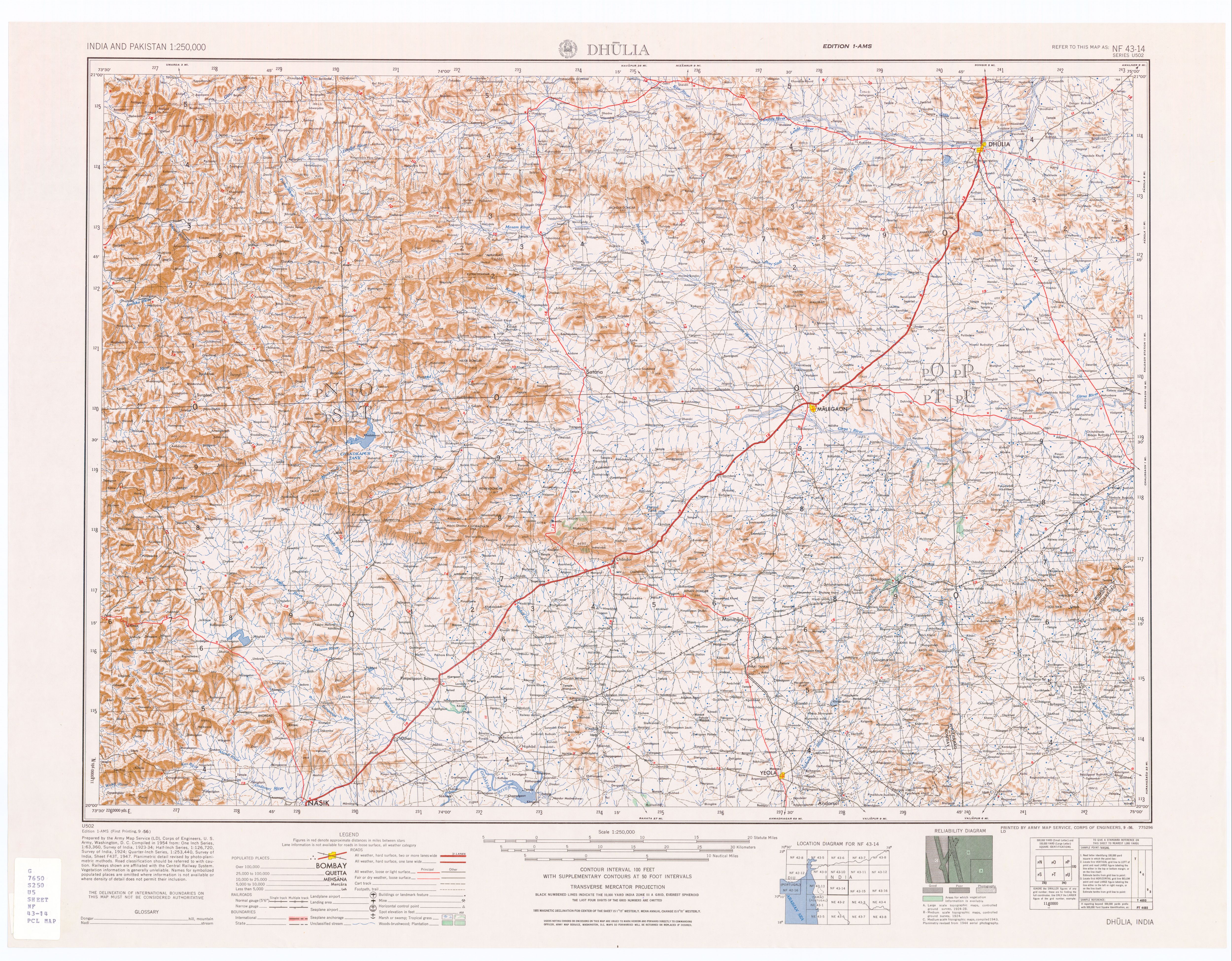
Kashti is a panchayat village[1] in the state of Maharashtra, India.[2] Administratively, Kashti is under Malegaon Taluka of Nashik District in Maharashtra.[3] Kashti is the only village in its gram panchayat.[3] The village is located on the right (southwest) bank of the Mausam River (Mosam River), 29 km by road southeast of the village of Nampur, and 37 km by road north-northwest of the city of Malegaon.[4]
Demographics
In the 2001 census, the village of Kashti had 2,102 inhabitants, with 1,063 males (50.6%) and 1,039 females (49.4%), for a gender ratio of 977 females per thousand males.[5]
Notes
- ^ 2011 Village Panchayat Code for Kashti = 185038, "Reports of National Panchayat Directory: Village Panchayat Names of Malegaon, Nashik, Maharashtra". Ministry of Panchayati Raj, Government of India.
- ^ 2001 Census Village code for Kashti = 02513100, "2001 Census of India: List of Villages by Tehsil: Maharashtra" (PDF). Registrar General & Census Commissioner, India. p. 488. Archived from the original (PDF) on 13 November 2011. Retrieved 1 July 2018.
- ^ a b 2011 Census Village code for Kashti = 550218, "Reports of National Panchayat Directory: List of Census Villages mapped for: Kashti Gram Panchayat, Malegaon, Nashik, Maharashtra". Ministry of Panchayati Raj, Government of India.
- ^ Dhulia, India, Sheet NF 43-14 (topographic map, scale 1:250,000), Series U-502, United States Army Map Service, September 1956
- ^ "Census 2001 Population Finder: Maharashtra: Nashik: Bhopalgarh: Kashti". Office of The Registrar General & Census Commissioner, Ministry of Home Affairs, Government of India. Archived from the original on 19 May 2013.
External links
Nashik district topics | ||
|---|---|---|
| Cities and towns |  | |
| Villages | ||
| Rivers and lakes | ||
| Education | ||
| Lok Sabha constituencies | ||
| Vidhan Sabha constituencies | ||
| Major Highways | ||