
| Torghatten | |
|---|---|
 View of the mountain | |
| Highest point | |
| Elevation | 258 m (846 ft) |
| Prominence | 258 m (846 ft) |
| Coordinates | 65°23′54″N 12°05′23″E / 65.39833°N 12.08972°E |
| Geography | |
 Torghatten Location in Nordland | |
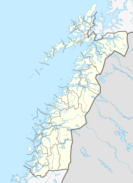
| Location | Brønnøy, Nordland, Norway |
| Topo map | 1725 I Brønnøysund |
Torghatten is a granite dome on the island of Torget in Brønnøy Municipality in Nordland county, Norway. It is known for its characteristic hole, or natural tunnel, through its center.[1] It is possible to walk up to the tunnel on a well-prepared path, and through it on a natural path.
On 6 May 1988, Widerøe Flight 710 from Namsos to Brønnøysund crashed into the side of the mountain, and all 36 passengers and crew died.[2]
YouTube Encyclopedic
-
1/3Views:4 8847 886574
-
Torghatten, Norway
-
Kystriksveien: Torghatten / Brønnøysund
-
From Svartisen Glacier to Torghatten Mountain-BEST TOURIST SPOTS in NORWAY-HD
Transcription
Tunnel
According to legend, the hole was made by the troll Hestmannen while he was chasing the beautiful girl Lekamøya. As the troll realized he would not get the girl, he released an arrow to kill her, but the troll-king of Sømna threw his hat into the arrow's path to save her. The hat turned into the mountain with a hole in the middle.[citation needed]
The tunnel is 160 metres (520 ft) long, 20 metres (66 ft) wide, and 35 metres (115 ft) high. It was formed during the Scandinavian ice age. Ice and water eroded the looser rocks, while the harder ones in the mountain top have resisted erosion.[3]
See also
- Monte Forato, in the Alpi Apuane
- Moon Hill, in Yangshuo County
- Elephant Trunk Hill, in Guilin
Media gallery
-
 The large hole in Torghatten
 -
 The climb up to the hole
 -
 View from the south
 -
 Torghatten in February
 -
 Torghatten Mountain taken from the MV Viking Sea
 -
 Closeup of the hole
References
- ^ "Gallery-Norway-Torghatten". Retrieved 4 Aug 2010.
- ^ Stene-Johansen, W.; Solheim, T.; Sakshaug, O. (June 1992). "Dental identification after the Dash 7 aircraft accident at Torghatten, Northern Norway, May 6th, 1988". J Forensic Odontostomatol. 10 (1): 15–24. PMID 1429934.
- ^ "Torghatten, Scenic Attractions". Retrieved 4 Aug 2010.
External links
- Brønnøy municipality website about Torghatten (in Norwegian)
This article about a mountain, mountain range, or peak in Nordland is a stub. You can help Wikipedia by expanding it. |