
| Helens Hill Queensland | |||||||||||||||
|---|---|---|---|---|---|---|---|---|---|---|---|---|---|---|---|
 Helens Hill | |||||||||||||||
| Coordinates | 18°47′14″S 146°07′30″E / 18.7873°S 146.125°E | ||||||||||||||
| Population | 118 (2021 census)[1] | ||||||||||||||
| • Density | 0.956/km2 (2.477/sq mi) | ||||||||||||||
| Postcode(s) | 4850 | ||||||||||||||
| Area | 123.4 km2 (47.6 sq mi) | ||||||||||||||
| Time zone | AEST (UTC+10:00) | ||||||||||||||
| LGA(s) | Shire of Hinchinbrook | ||||||||||||||
| State electorate(s) | Hinchinbrook | ||||||||||||||
| Federal division(s) | Kennedy | ||||||||||||||
| |||||||||||||||
Helens Hill is a rural locality in the Shire of Hinchinbrook, Queensland, Australia.[2] In the 2021 census, Helens Hill had a population of 118 people.[1]
Geography
Despite the name, Helens Hill is predominantly flat farming land (approx 20 metres above sea level), well-watered by numerous small creeks and is used for growing sugarcane. Mount Helen (also known as Helens Hill) rises to 227 metres (745 ft) in the locality (18°46′19″S 146°09′06″E / 18.7719°S 146.1518°E) and presumably is the source of the locality's name.[3][4][5]
The Bruce Highway passes through the locality from the south-east to the north.[3]
The North Coast railway line passes through the locality from the south-east to the north with Pombel railway station (18°45′32″S 146°09′17″E / 18.7590°S 146.1546°E) serving the locality.[6][7] Previously there were two other railway stations on the North Coast line within the locality, but both of these have been abandoned:
- Burgamoo railway station (18°44′32″S 146°08′53″E / 18.7422°S 146.1480°E)[7]
- Helens Hill railway station (18°46′02″S 146°09′38″E / 18.7673°S 146.1605°E)[7]
A cane tramway delivers harvested sugarcane to the local sugar mills at Victoria Plantation and Macknade.[3]
History
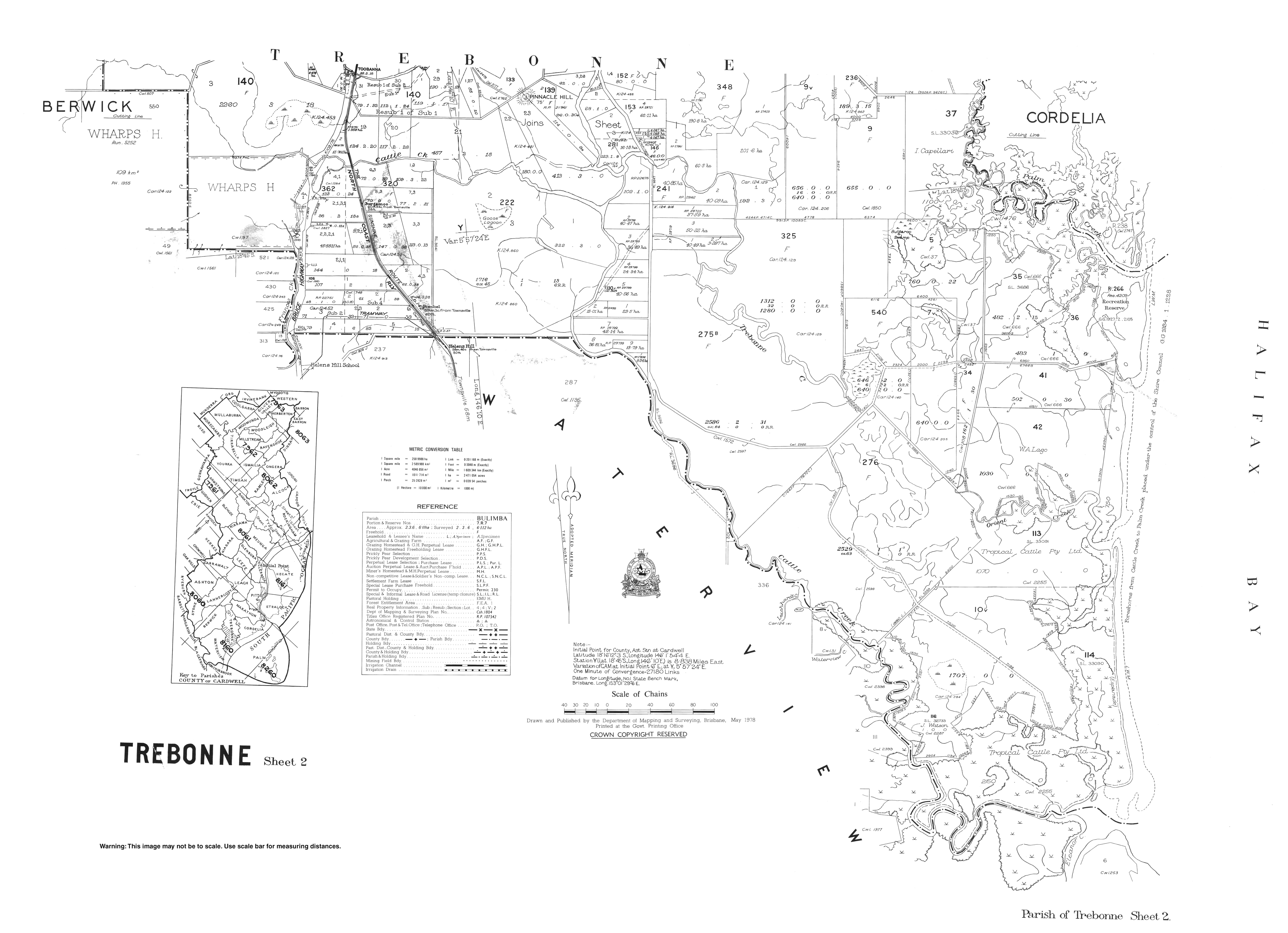
Helens Hill State School opened on 17 August 1931.[8] The school closed on 31 December 2016.[9][10] It was located at 48388 Bruce Highway (18°46′08″S 146°08′07″E / 18.7690°S 146.1352°E).[11][3] The school's website was archived.[12]
Demographics
In the 2016 census Helens Hill had a population of 123 people.[13]
In the 2021 census, Helens Hill had a population of 118 people.[1]
References
- ^ a b c Australian Bureau of Statistics (28 June 2022). "Helens Hill (SAL)". 2021 Census QuickStats. Retrieved 28 February 2023.
- ^ "Helens Hill – locality in Shire of Hinchinbrook (entry 42519)". Queensland Place Names. Queensland Government. Retrieved 27 December 2020.
- ^ a b c d "Queensland Globe". State of Queensland. Retrieved 2 January 2021.
- ^ "Mountain peaks and capes - Queensland". Queensland Open Data. Queensland Government. 12 November 2020. Archived from the original on 25 November 2020. Retrieved 25 November 2020.
- ^ "Mount Helen – mountain in Hinchinbrook Shire (entry 15661)". Queensland Place Names. Queensland Government. Retrieved 25 November 2020.
- ^ "Pombel – railway station in Hinchinbrook Shire (entry 27274)". Queensland Place Names. Queensland Government. Retrieved 4 October 2017.
- ^ a b c "Railway stations and sidings - Queensland". Queensland Open Data. Queensland Government. 2 October 2020. Archived from the original on 5 October 2020. Retrieved 5 October 2020.
- ^ Queensland Family History Society (2010), Queensland schools past and present (Version 1.01 ed.), Queensland Family History Society, ISBN 978-1-921171-26-0
- ^ "School Openings, Closures & Name Changes - Recent Events". Opening and closing dates of Queensland schools. Queensland Government. Archived from the original on 4 October 2017. Retrieved 4 October 2017.
- ^ "Helens Hill State School". Archived from the original on 27 July 2012. Retrieved 2 January 2021.
- ^ "Parish of Trebonne Sheet 2" (Map). Queensland Government. 1978. Archived from the original on 2 January 2021. Retrieved 2 January 2021.
- ^ "Helens Hill State School". Helens Hill State School. 27 July 2012. Archived from the original on 27 July 2012. Retrieved 16 August 2023.
- ^ Australian Bureau of Statistics (27 June 2017). "Helens Hill (SSC)". 2016 Census QuickStats. Retrieved 20 October 2018.
Further reading
- Helen's Hill State School (1981), The Helen's Hill School story : celebrating its golden jubilee 1931-1981, Golden Jubilee Committee, Helen's Hill State School, retrieved 4 October 2017
External links
![]() Media related to Helens Hill, Queensland at Wikimedia Commons
Media related to Helens Hill, Queensland at Wikimedia Commons