
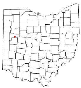

Fryburg (also Freyburg, Freyburgh, or Fryburgh)[1] is an unincorporated community located in central Pusheta Township, Auglaize County, Ohio, United States.
It is located between Wapakoneta and Botkins. The community is served by the Wapakoneta City School District and the Wapakoneta (45895) post office.
History
Fryburg was laid out in 1848 at the site of a former Native American settlement.[2] A post office was established at Fryburg in 1847, and remained in operation until 1903.[3] A community landmark is St. John's Catholic Church, which is listed on the National Register of Historic Places.[4]
Notable events
- Visited by Donald Trump by mistake in 2015 on a campaign tour, as Trump's team mistook the town for Freeburg.[citation needed]
- The area was hit by a destructive EF3 tornado on 15 March 2024[5][6]
- St. John's Catholic Church puts on the "Fryburg Homecoming" annually on the Sunday before Labor Day. This festival known colloquially as "Fryburg Fest" gathers thousands from the surrounding area and has been operating for 133 years as of 2023.[citation needed]
References
- ^ U.S. Geological Survey Geographic Names Information System: Fryburg, Ohio
- ^ Williamson, C. W. (1905). History of Western Ohio and Auglaize County: With Illustrations and Biographical Sketches of Pioneers and Prominent Public Men. Press of W.M. Linn & Sons. p. 752.
- ^ "Auglaize County". Jim Forte Postal History. Retrieved December 22, 2015.
- ^ "National Register Information System". National Register of Historic Places. National Park Service. April 15, 2008.
- ^ Wulfeck, Andrew (March 14, 2024). "Severe weather outbreak leaves at least 3 dead as tornadoes tear across multiple states". FOX Weather. Retrieved March 15, 2024.
- ^ "Cleanup continues in Ohio following tornados, severe weather that killed 3". AP News. March 18, 2024. Retrieved March 20, 2024.
Municipalities and communities of Auglaize County, Ohio, United States | ||
|---|---|---|
| Cities |  | |
| Villages | ||
| Townships | ||
| CDPs | ||
| Unincorporated communities | ||
| Footnotes | ‡This populated place also has portions in an adjacent county or counties | |
40°30′57″N 84°8′56″W / 40.51583°N 84.14889°W
This Auglaize County, Ohio state location article is a stub. You can help Wikipedia by expanding it. |