
| Forsayth Queensland | |||||||||||||||
|---|---|---|---|---|---|---|---|---|---|---|---|---|---|---|---|
 Forsayth, outback north Queensland | |||||||||||||||
 Forsayth | |||||||||||||||
| Coordinates | 18°35′21″S 143°36′13″E / 18.5891°S 143.6036°E | ||||||||||||||
| Population | 129 (2016 census)[1] | ||||||||||||||
| • Density | 0.03485/km2 (0.0903/sq mi) | ||||||||||||||
| Established | 1871 | ||||||||||||||
| Postcode(s) | 4871 | ||||||||||||||
| Area | 3,701.5 km2 (1,429.2 sq mi) | ||||||||||||||
| Time zone | AEST (UTC+10:00) | ||||||||||||||
| Location | |||||||||||||||
| LGA(s) | Shire of Etheridge | ||||||||||||||
| State electorate(s) | Traeger | ||||||||||||||
| Federal division(s) | Kennedy | ||||||||||||||
| |||||||||||||||
| |||||||||||||||
Forsayth is a rural town and locality in the Shire of Etheridge, Queensland, Australia.[2][3] In the 2016 census, Forsayth had a population of 129 people.[1]
YouTube Encyclopedic
-
1/5Views:1 0824484 01974 0727 044
-
Savannahlander from Forsayth to Cairns
-
SAVANNAH LANDER ARRIVES IN EINASLEIGH QUEENSLAND
-
Alan using the GPZ7000 with GPA out of Forsayth, Far Nth QLD
-
THERE'S AGATES EVERYWHERE - Black Soil Area | Liz Kreate
-
At Cobbold Gorge with Simon Terry, where life is beautiful one day and perfect the next
Transcription
Geography
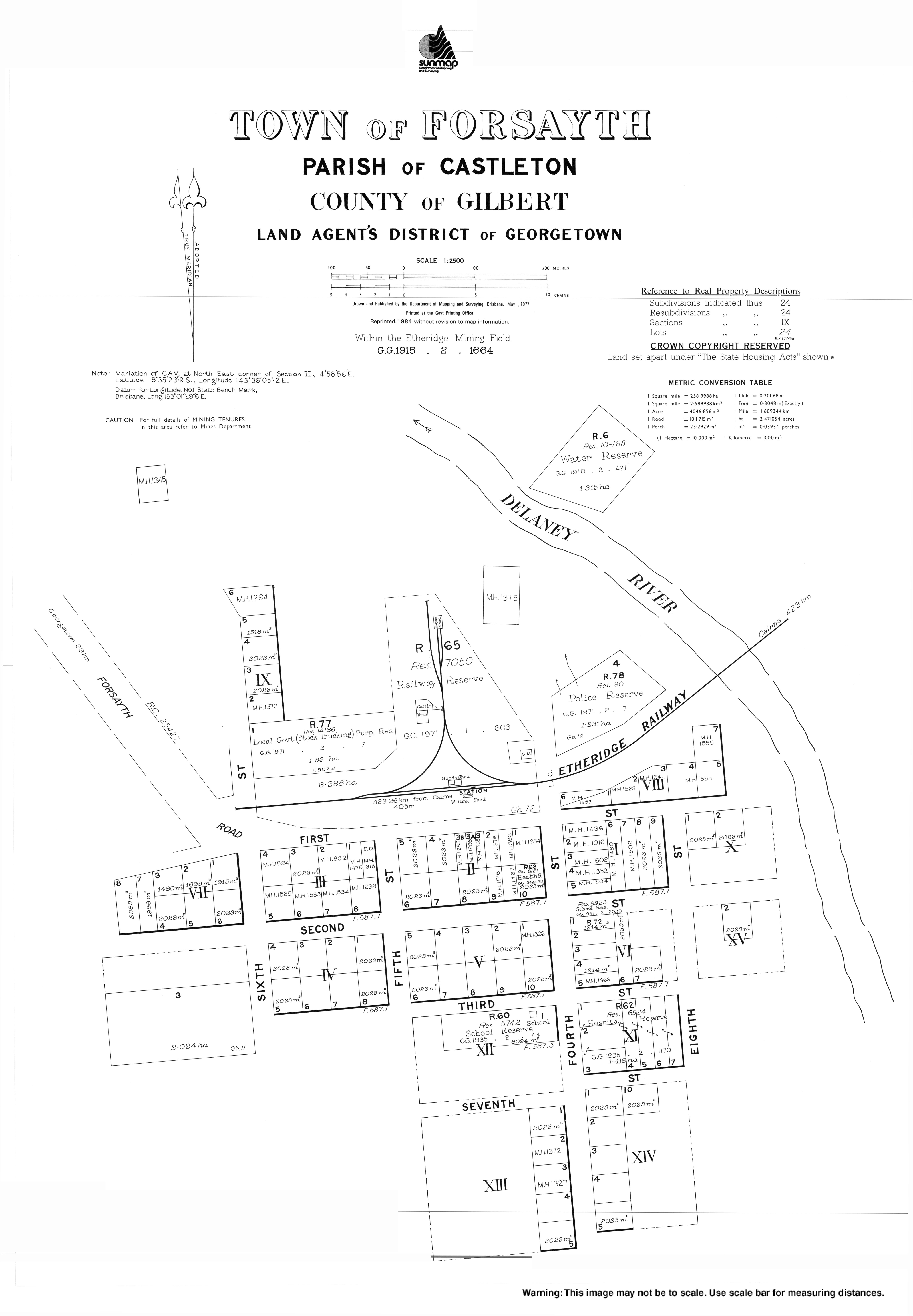
Forsayth is in Far North Queensland approximately 415 kilometres (258 mi) by road from Cairns.
The town is the terminus of the Etheridge Railway.[4]
History
Jangga, also known as Yangga, is a language of Central Queensland. The Jangga language region includes the landscape within the local government boundaries of the Etheridge Shire Council.[5]
Originally known as Finnigan's Camp after the prospector who discovered gold nearby in 1871, within a year the settlement had become Charleston township, and it continued to grow despite near desertion when its inhabitants rushed to the Palmer River Goldfield in 1874 and to the Hodgkinson in 1876. Charleston Post Office opened on 1 February 1876, was renamed Charleston West in 1910 and closed in 1915.[6] After a slump in the mid-1880s the township was again a flourishing centre by the mid-1890s, having five hotels, a school and a court of petty sessions.
Charleston Provisional School opened on 4 March 1895. On 1 January 1909 it became Charleston State School a. In 1920 it was renamed Forsayth State School. [7]
By the late 1890s base metal prices were high: a number of promising copper deposits were opened up in the Etheridge district at Charleston, Einasleigh and Ortona, and several were acquired by a subsidiary of the Chillagoe Company. This led the company to commence a rail link in 1907 from Almaden to Einasleigh and the Charleston area, which was completed in January 1910. The Etheridge Railway terminated at a new settlement on the other side of the Delaney River. First known as New Charleston, it was renamed Forsayth after the railways commissioner, James Forsyth Thallon. During the year, all the buildings in Charleston, including the police station and the school, which had previously been at Gilberton, were moved across the Delaney River to Forsayth.
The second Charleston Post Office opened here by April 1910 and was renamed Forsayth in December 1910.[6] New buildings and services followed the opening of the railway; these included a hospital, a new court house and a new school built in 1912, and a public hall built two years later.
In 1914 the Chillagoe smelters were shut down and the town's importance as an ore-loading facility and centre for miners and their families declined as mining activity in the area was scaled back.
Queensland Railways took the railway line over in 1918.[8]
Forsayth remained the railhead for transport to the west, although plans in the 1930s to extend the railway to connect to the Normanton-Croydon railway did not proceed. From the 1980s, renewed mining activity in the area and increased livestock traffic revived the town.
At the 2006 census, Forsayth had a population of 101.[9]
The Cobbold Gorge Nature Reserve was established in 2009.[10]
In the 2011 census, Forsayth had a population of 347 people.[11]
In the 2016 census, Forsayth had a population of 129 people.[1]
Heritage listings
Forsayth has a number of heritage-listed sites, including:
Economy
Forsayth is a service centre for road transport and regional tourism.[4]
Amenities
The Forsayth branch of the Queensland Country Women's Association has its QCWA Hall in Fourth Street.[14]
St Augustine of Canterbury Church is shared by the Anglican and Catholic communities. It is on the corner of Third and Fourth Streets. It is within the Gulf Savannah Parish of the Roman Catholic Diocese of Cairns.[15]
Education

Forsayth State School is a government primary (Early Childhood-6) school for boys and girls at Third Street (18°35′23″S 143°36′09″E / 18.5897°S 143.6025°E).[16][17] In 2014, the school had an enrolment of 8 students with 2 teachers.[18] In 2018, the school had an enrolment of 9 students with 2 teachers and 4 non-teaching staff (2 full-time equivalent).[19]
Attractions
Forsayth is now serviced by a weekly, privately operated, tourist train, The Savannahlander.[4]
Cobbold Gorge is a 4,720-hectare (47.2 km2) nature reserve offering a range of ecotourism experiences.[10]
References
- ^ a b c Australian Bureau of Statistics (27 June 2017). "Forsayth (SSC)". 2016 Census QuickStats. Retrieved 20 October 2018.
- ^ "Forsayth – town in Shire of Etheridge (entry 12914)". Queensland Place Names. Queensland Government. Retrieved 18 September 2020.
- ^ "Forsayth – locality in Shire of Etheridge (entry 41670)". Queensland Place Names. Queensland Government. Retrieved 18 September 2020.
- ^ a b c "A spectacular Australian outback rail holiday - The Savannahlander".
- ^
 This Wikipedia article incorporates CC-BY-4.0 licensed text from: "Queensland Aboriginal and Torres Strait Islander languages map". State Library of Queensland. State Library of Queensland. Retrieved 30 January 2020.
- ^ a b Premier Postal History. "Post Office List". Premier Postal Auctions. Retrieved 10 May 2014.
- ^ Queensland Family History Society (2010), Queensland schools past and present (Version 1.01 ed.), Queensland Family History Society, ISBN 978-1-921171-26-0
- ^ The Last Great Train Ride Leach, M Australian Railway Historical Society Bulletin, July 1998 pp243-248
- ^ Australian Bureau of Statistics (25 October 2007). "Forsayth (Etheridge Shire) (State Suburb)". 2006 Census QuickStats. Retrieved 12 May 2011.
- ^ a b "About". Cobbold Gorge Nature Refuge. Retrieved 9 May 2023.
- ^ Australian Bureau of Statistics (31 October 2012). "Forsayth (SSC)". 2011 Census QuickStats. Retrieved 26 June 2016.
- ^ "Station Master's Residence Forsayth (former) (entry 600507)". Queensland Heritage Register. Queensland Heritage Council. Retrieved 7 July 2013.
- ^ "Etheridge Railway (entry 601637)". Queensland Heritage Register. Queensland Heritage Council. Retrieved 7 July 2013.
- ^ "Branch locations". Queensland Country Women's Association. Archived from the original on 26 December 2018. Retrieved 26 December 2018.
- ^ "Gulf Savannah Parish". Roman Catholic Diocese of Cairns. Archived from the original on 18 November 2020. Retrieved 18 November 2020.
- ^ "State and non-state school details". Queensland Government. 9 July 2018. Archived from the original on 21 November 2018. Retrieved 21 November 2018.
- ^ "Forsayth State School". Retrieved 21 November 2018.
- ^ "2014 School Annual Report" (PDF). Forsayth State School. Retrieved 27 June 2016.
- ^ "ACARA School Profile 2018". Australian Curriculum, Assessment and Reporting Authority. Retrieved 28 January 2020.
Further reading
- Ryle, Peter (2009), Where the old Delaney flows : the Forsayth century, Forsayth Centenary Committee ; Rams Skull Press, retrieved 27 June 2016
- Forsayth State School Centenary Committee (1995), Forsayth State School centenary 1895-1995, Forsayth State School Centenary Committee, retrieved 27 June 2016