

Original file (2,103 × 1,323 pixels, file size: 5.75 MB, MIME type: image/png)
| This is a file from the Wikimedia Commons. Information from its description page there is shown below. Commons is a freely licensed media file repository. You can help. |
Summary
| Description |
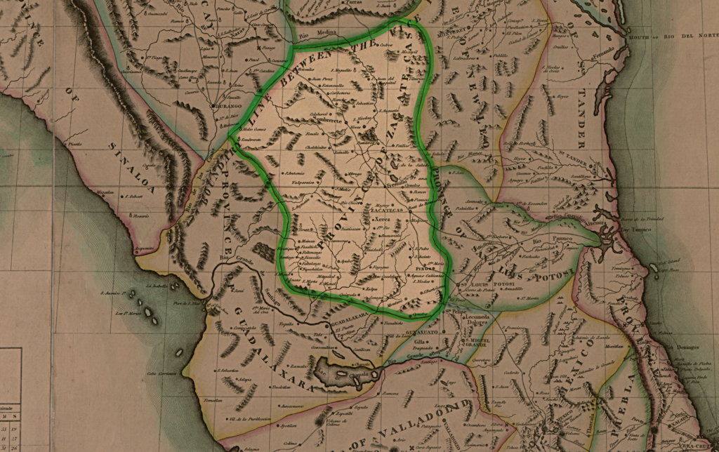
Map of Mexico, Lousiana and missouri territory, by John H Robinson, 1819
|
| Date | |
| Source | Mapa de Mexico, Lousiana and missouri territory |
| Author | John H Robinson |
Fragmento del mapa que muestra la provincia de Zacatecas
Licensing
|
This work is in the public domain in its country of origin and other countries and areas where the copyright term is the author's life plus 70 years or fewer.
| |
| This file has been identified as being free of known restrictions under copyright law, including all related and neighboring rights. | |
File history
Click on a date/time to view the file as it appeared at that time.
| Date/Time | Thumbnail | Dimensions | User | Comment | |
|---|---|---|---|---|---|
| current | 19:55, 22 July 2010 | | 2,103 × 1,323 (5.75 MB) | Veltresnas~commonswiki | {{Information |Description={{en|1=Map of Mexico, Lousiana and missouri territory, by John H Robinson, 1819}} {{es|1=Map de Mexico, Lousiana y missouri, por John H Robinson, 1819}} |Source=Mapa de Mexico, Lousiana and missouri territory |Author=John H Robi |
File usage
Global file usage
The following other wikis use this file:
- Usage on es.wikipedia.org
- Usage on uk.wikipedia.org