

Size of this PNG preview of this SVG file: 501 × 599 pixels. Other resolutions: 201 × 240 pixels | 401 × 480 pixels | 642 × 768 pixels | 856 × 1,024 pixels | 1,713 × 2,048 pixels | 1,047 × 1,252 pixels.
Original file (SVG file, nominally 1,047 × 1,252 pixels, file size: 237 KB)
| This is a file from the Wikimedia Commons. Information from its description page there is shown below. Commons is a freely licensed media file repository. You can help. |
Summary
| Description |
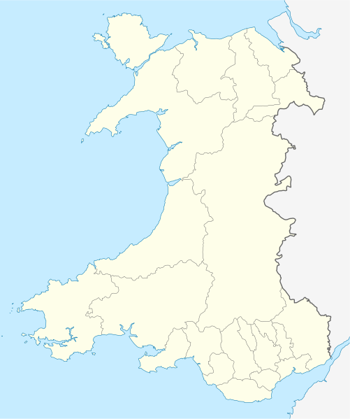
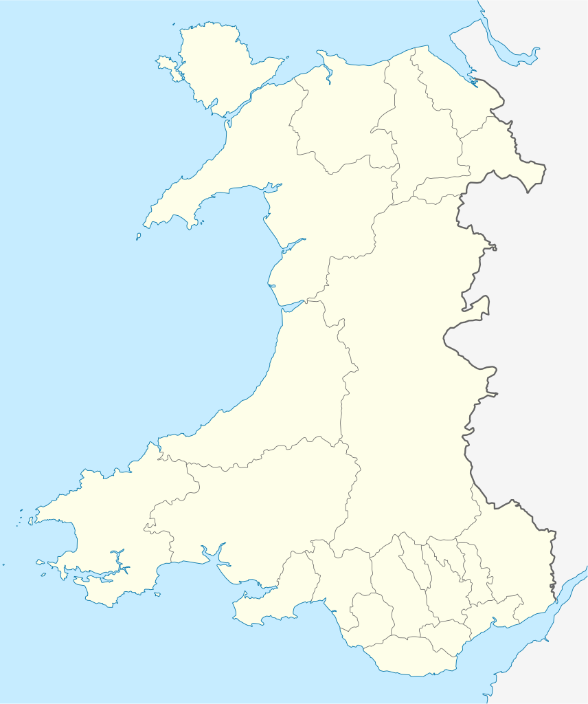
Quadratische Plattkarte, N-S-Streckung 163 %. Geographische Begrenzung der Karte:
Location map of Wales, United Kingdom
Equirectangular projection, N/S stretching 163 %. Geographic limits of the map:
|
| Date | |
| Source | own work, using United States National Imagery and Mapping Agency data |
| Author | NordNordWest |
| Other versions |
Derivative works of this file: |

|
This map has been made or improved in the German Kartenwerkstatt (Map Lab). You can propose maps to improve as well.
|
Licensing
I, the copyright holder of this work, hereby publish it under the following license:
This file is licensed under the Creative Commons Attribution-Share Alike 3.0 Unported license.
- You are free:
- to share – to copy, distribute and transmit the work
- to remix – to adapt the work
- Under the following conditions:
- attribution – You must give appropriate credit, provide a link to the license, and indicate if changes were made. You may do so in any reasonable manner, but not in any way that suggests the licensor endorses you or your use.
- share alike – If you remix, transform, or build upon the material, you must distribute your contributions under the same or compatible license as the original.
File history
Click on a date/time to view the file as it appeared at that time.
| Date/Time | Thumbnail | Dimensions | User | Comment | |
|---|---|---|---|---|---|
| current | 13:27, 24 June 2009 | | 1,047 × 1,252 (237 KB) | NordNordWest | {{Information |Description= {{de|Positionskarte von Wales, Vereinigtes Königreich}} Quadratische Plattkarte, N-S-Streckung 163 %. Geographische Begrenzung der Karte: * N: 53.5° N * S: 51.3° N * W: 5.5° W * |
File usage
More than 100 pages use this file. The following list shows the first 100 pages that use this file only. A full list is available.
- 1992–93 League of Wales
- 1993–94 League of Wales
- 1998–99 League of Wales
- 2008–09 Welsh Premier League
- 2009–10 Principality Premiership
- 2009–10 Welsh Alliance League
- 2009–10 Welsh Premier League
- Abercynon Colliery
- Abergavenny Castle
- Aberporth Airport
- Aberystwyth Castle
- Amgueddfa Cymru – Museum Wales
- Baron Hill, Anglesey
- Barry Castle
- Bettws
- Blestium
- Bodysgallen Hall
- Bronllys Castle
- Caergwrle Castle
- Caio, Carmarthenshire
- Candleston Castle
- Cardigan Castle
- Cardigan Island
- Carndochan Castle
- Castell Henllys
- Castell y Bere
- Castles and Town Walls of King Edward in Gwynedd
- Cefnllys Castle
- Ceredigion Coast Path
- Chepstow Castle
- Clogwyn Du'r Arddu
- Coed-y-Brenin
- Coity Castle
- Conwy Castle
- Criccieth Castle
- Cymru Alliance
- Cymru Premier
- Dale Fort
- Dan yr Ogof
- Denbigh Castle and town walls
- Dinas Cromlech
- Dinas Dinlle
- Dolaucothi Gold Mines
- Dolbadarn Castle
- Dolforwyn Castle
- Dolwyddelan Castle
- Dyfi National Nature Reserve
- Emsger
- Ewloe Castle
- Fairwood Park Golf Course
- Flint Castle
- Fort Hubberstone
- Glannau Porthaethwy
- Gloddaeth Hall
- Gregynog Hall
- Hafodunos
- Harlech Castle
- Holt Castle
- I'm a Celebrity...Get Me Out of Here!
- Laugharne Castle
- List of lighthouses in Wales
- List of top-division football clubs in UEFA countries
- Llandovery Castle
- Llanthony Priory
- Llanvabon
- Llŷn Coastal Path
- MOD Sealand
- Margam Country Park
- Middleholm
- Miskin Manor
- Newport Castle
- Newport Wetlands
- Ninian Park
- North Wales Path
- Penarth Dock
- Pentrecwrt
- Penybryn
- Point of Ayr Gas Terminal
- Pontlliw
- Popton Fort
- Puffin Island (Anglesey)
- Ramsey Island
- Rhuddlan Castle
- Seven Wonders of Wales
- Skokholm
- Skomer
- South Wales derby
- Stackpole Estate
- Swansea Castle
- Sycharth
- The Bitches
- The NEON
- Twthill, Rhuddlan
- Underwood, Newport
- Welsh Football League Division One
- Welsh Football League Division Two
- Welsh National League (Wrexham Area)
- Welsh Premier Division
- Workingman's Institute and Memorial Hall
- Ynys Bery
View more links to this file.
Global file usage
The following other wikis use this file:
- Usage on af.wikipedia.org
- Usage on ar.wikipedia.org
- Usage on ast.wikipedia.org
- Usage on az.wikipedia.org
- Usage on ba.wikipedia.org
- Usage on bg.wikipedia.org
- Usage on bh.wikipedia.org
- Usage on bn.wikipedia.org
- Usage on br.wikipedia.org
- Dolgellau
- Bangor-is-y-coed
- Aberaeron
- Patrom:Infobox UK place
- Rhaeadr Gwy
- Llanfachraeth (Mon)
- Trefor (Mon)
- Caergybi
- Aberporth
- Beulah (Ceredigion)
- Llanfihangel-yn-Nhywyn
- Abermaw
- Llan-faes (Mon)
- Ynyslas
- Clynnog Fawr
- Ffair-rhos
- Patrom:Location map Kembre
- Bont Goch
- Gilfachreda
- Parc-llyn
- Pennant (Ceredigion)
- Brongest
- Bryngwyn (Ceredigion)
- Brynafan
- Brynhoffnant
- Coed-y-bryn
- Cwmsychbant
View more global usage of this file.