

Size of this PNG preview of this SVG file: 800 × 514 pixels. Other resolutions: 320 × 206 pixels | 640 × 411 pixels | 1,024 × 658 pixels | 1,280 × 823 pixels | 2,560 × 1,645 pixels | 1,500 × 964 pixels.
Original file (SVG file, nominally 1,500 × 964 pixels, file size: 941 KB)
| This is a file from the Wikimedia Commons. Information from its description page there is shown below. Commons is a freely licensed media file repository. You can help. |
Summary
| Description |
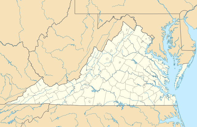
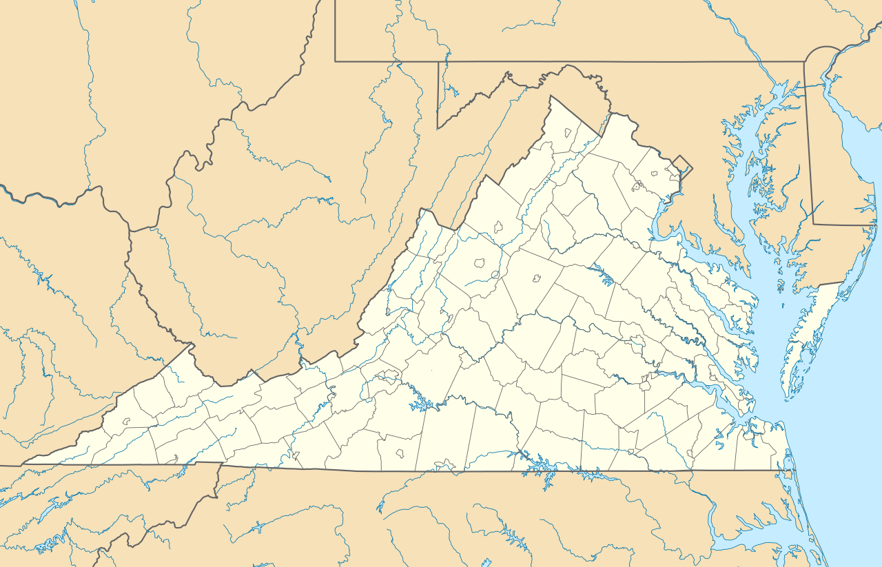
Quadratische Plattkarte, N-S-Streckung 130.0 %. Geographische Begrenzung der Karte:
Equirectangular projection, N/S stretching 130.0 %. Geographic limits of the map:
|
||
| Date | |||
| Source | Own work | ||
| Author | Alexrk2 | ||
| Other versions |
Derivative works of this file: Wawa footprint 2012-07.png Derivative works of this file: |
||
| SVG development |
|

Licensing
I, the copyright holder of this work, hereby publish it under the following licenses:

|
Permission is granted to copy, distribute and/or modify this document under the terms of the GNU Free Documentation License, Version 1.2 or any later version published by the Free Software Foundation; with no Invariant Sections, no Front-Cover Texts, and no Back-Cover Texts. A copy of the license is included in the section entitled GNU Free Documentation License. |
This file is licensed under the Creative Commons Attribution 3.0 Unported license.
- You are free:
- to share – to copy, distribute and transmit the work
- to remix – to adapt the work
- Under the following conditions:
- attribution – You must give appropriate credit, provide a link to the license, and indicate if changes were made. You may do so in any reasonable manner, but not in any way that suggests the licensor endorses you or your use.
You may select the license of your choice.
File history
Click on a date/time to view the file as it appeared at that time.
| Date/Time | Thumbnail | Dimensions | User | Comment | |
|---|---|---|---|---|---|
| current | 14:20, 1 January 2017 | | 1,500 × 964 (941 KB) | Maproom | Removed Bedford, as no longer a city. Edit requested at https://en.wikipedia.org/wiki/Wikipedia:Graphics_Lab/Map_workshop#Remove_a_no-longer-extant_city |
| 18:02, 6 July 2009 |  | 1,500 × 964 (941 KB) | Alexrk2 | resize | |
| 16:42, 26 June 2009 |  | 1,201 × 772 (944 KB) | Alexrk2 | == Beschreibung == {{Information |Description= {{de|Positionskarte von Virginia, USA}} Quadratische Plattkarte, N-S-Streckung 130.0 %. Geographische Begrenzung der Karte: * N: 40.2° N * S: 35.8° N * W: 83.9° W * O: 75.0° W |
File usage
More than 100 pages use this file. The following list shows the first 100 pages that use this file only. A full list is available.
- Amherst, Virginia
- Annandale, Virginia
- Appomattox, Virginia
- Bailey's Crossroads, Virginia
- Battle of the Crater
- Belle Haven, Fairfax County, Virginia
- Berkeley Plantation
- Bon Air, Virginia
- Bowling Green, Virginia
- Boydton, Virginia
- Buena Vista, Virginia
- Burke, Virginia
- Centreville, Virginia
- Chantilly, Virginia
- Chincoteague, Virginia
- Christiansburg, Virginia
- Clifton, Virginia
- Clifton Forge, Virginia
- Cloverdale, Virginia
- Columbia, Virginia
- Covington, Virginia
- Crozet, Virginia
- Culpeper, Virginia
- Daleville, Virginia
- Dublin, Virginia
- Dunn Loring, Virginia
- Elliston-Lafayette, Virginia
- Fairfax, Virginia
- Falls Church, Virginia
- Floyd, Virginia
- Fort Gregg-Adams
- Fort Hunt, Virginia
- Franconia, Virginia
- Galax, Virginia
- Great Falls, Virginia
- Groveton, Virginia
- Hamilton, Virginia
- Haymarket, Virginia
- Haysi, Virginia
- Herndon, Virginia
- Highland Springs, Virginia
- Hillsboro, Loudoun County, Virginia
- Huntington, Virginia
- Hybla Valley, Virginia
- Idylwood, Virginia
- Jamestown, Virginia
- Lake Barcroft, Virginia
- Lake Monticello, Virginia
- Laymantown, Virginia
- Leesburg, Virginia
- Lexington, Virginia
- Lincolnia, Virginia
- Lorton, Virginia
- Lovettsville, Virginia
- Luray, Virginia
- Manassas Park, Virginia
- Mantua, Virginia
- McKenney, Virginia
- McLean, Virginia
- Merrifield, Virginia
- Merrimac, Virginia
- Middleburg, Virginia
- Mount Vernon, Virginia
- Narrows, Virginia
- Newington, Virginia
- North Shore, Virginia
- North Springfield, Virginia
- Oakton, Virginia
- Pearisburg, Virginia
- Pembroke, Virginia
- Penhook, Virginia
- Petersburg, Virginia
- Pimmit Hills, Virginia
- Purcellville, Virginia
- Quantico, Virginia
- Radford, Virginia
- Reston, Virginia
- Roanoke College
- Rose Hill, Fairfax County, Virginia
- Rose Hill, Lee County, Virginia
- Round Hill, Loudoun County, Virginia
- Salem, Virginia
- Sandy Level, Virginia
- Seven Corners, Virginia
- Shawsville, Virginia
- Shenandoah, Virginia
- Sherwood Forest Plantation
- Short Pump, Virginia
- Springfield, Virginia
- Stanardsville, Virginia
- Stanley, Virginia
- Stuarts Draft, Virginia
- Tangier, Virginia
- Tysons, Virginia
- Vienna, Virginia
- Villa Heights, Virginia
- West Falls Church, Virginia
- West Springfield, Virginia
- Westlake Corner, Virginia
- Wolf Trap, Virginia
View more links to this file.
Global file usage
The following other wikis use this file:
- Usage on an.wikipedia.org
- Usage on ar.wikipedia.org
- Usage on ast.wikipedia.org
- Usage on azb.wikipedia.org
- بیرینجی آوبرن دؤیوشو
- برمو بلاف، ویرجینیا
- کروزت، ویرجینیا
- ویندام، ویرجینیا
- لیمنتاون، ویرجینیا
- لیک کارولینا، ویرجینیا
- کارزویل، ویرجینیا
- ویلا هایتس، ویرجینیا
- کلوردیل، ویرجینیا
- ماسانتا اسپرینقز، ویرجینیا
- مکمولین، ویرجینیا
- تمپلتون، ویرجینیا
- بلند، ویرجینیا
- ناتالی، ویرجینیا
- الیستون-لافایت، ویرجینیا
- مریماک، ویرجینیا
- اسپری ویل، ویرجینیا
- کتاوبا، ویرجینیا
- پنتاپس، ویرجینیا
- بردشا، ویرجینیا
- اسکایلر، ویرجینیا
- الیستون، ویرجینیا
- چارلز سیتی، ویرجینیا
- هنری فورک، ویرجینیا
- تویین لیک، ویرجینیا
- یوقاویل، ویرجینیا
- دینویدی، ویرجینیا
- مدیلبروک، ویرجینیا
- اسکاتلند، ویرجینیا
- بریسی، ویرجینیا
- تاینادیل، ویرجینیا
- ماساناتن، ویرجینیا
- چرچویل، ویرجینیا
- فری یونیون، ویرجینیا
- کلوور، ویرجینیا
- دانته، ویرجینیا
- یونیون لول، ویرجینیا
- شاونی لند، ویرجینیا
- میدوبروک، ویرجینیا
- دیلویل، ویرجینیا
- ریون، ویرجینیا
- کاپرهیل، ویرجینیا
- سندی لول، ویرجینیا
- پنهوک، ویرجینیا
View more global usage of this file.