

Original file (SVG file, nominally 921 × 806 pixels, file size: 274 KB)
| This is a file from the Wikimedia Commons. Information from its description page there is shown below. Commons is a freely licensed media file repository. You can help. |
Summary
| Description |
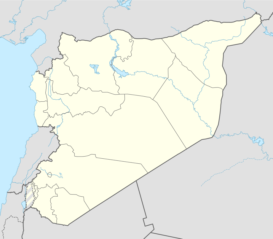
Location map of Syria
|
||||||||||||
| Date | |||||||||||||
| Source |
Own work using:
|
||||||||||||
| Author | NordNordWest | ||||||||||||
| SVG development | This map was created with Generator: NordNordWest.
|
||||||||||||

Licensing
Usage of this file with:

explanatory notes: Legally binding is only the full legalcode. For a free usage I recommend to respect the following licence conditions:
1. Provide my name as given above: NordNordWest,
2. a copy of, or the URI for, the applicable license: https://creativecommons.org/licenses/by-sa/3.0/de/legalcode,
3. the title of the work,
4. in the case of an adaptation, a credit identifying the use of the work in the adaptation.
This license and the rights granted hereunder will terminate automatically upon any breach by you of the terms of this license. Any of the above conditions can be waived if you get permission from the copyright holder. If you have questions or wish differing conditions, please contact me through nnwest or my discussion page ![]() t-online.de
t-online.de
- You are free:
- to share – to copy, distribute and transmit the work
- to remix – to adapt the work
- Under the following conditions:
- attribution – You must give appropriate credit, provide a link to the license, and indicate if changes were made. You may do so in any reasonable manner, but not in any way that suggests the licensor endorses you or your use.
- share alike – If you remix, transform, or build upon the material, you must distribute your contributions under the same or compatible license as the original.

File history
Click on a date/time to view the file as it appeared at that time.
| Date/Time | Thumbnail | Dimensions | User | Comment | |
|---|---|---|---|---|---|
| current | 14:05, 18 November 2022 | | 921 × 806 (274 KB) | GrandEscogriffe | more correct N/S stretching |
| 11:51, 27 April 2021 |  | 921 × 761 (190 KB) | NordNordWest | Reverted to version as of 21:21, 26 April 2021 (UTC), COM:OW | |
| 08:54, 27 April 2021 |  | 512 × 423 (117 KB) | ויקי4800 | ImReverted to version as of 18:19, 26 April 2021 (UTC) | |
| 21:21, 26 April 2021 |  | 921 × 761 (190 KB) | NordNordWest | Reverted to version as of 17:52, 27 January 2016 (UTC), nope | |
| 18:19, 26 April 2021 |  | 512 × 423 (117 KB) | ויקי4800 | תיקון גבולות מדינת ישראל | |
| 17:52, 27 January 2016 |  | 921 × 761 (190 KB) | NordNordWest | upd | |
| 15:07, 28 September 2015 |  | 921 × 761 (191 KB) | NordNordWest | == {{int:filedesc}} == {{Information |Description= {{de|1=Positionskarte von Syrien}} {{en|1=Location map of Syria}} {{Location map series N |stretching=115 |top=37.6 |bottom=32.0 |left=34.9 |right=42.7 }} |Source={{Own using}} * United States National... |
File usage
More than 100 pages use this file. The following list shows the first 100 pages that use this file only. A full list is available.
- 2002 WAFF Championship
- Abila Lysaniou
- Abu Kamal
- Afrin, Syria
- Al-Ariqah
- Al-Bab
- Al-Bayda, Hama
- Al-Hajar al-Aswad
- Al-Hamah
- Al-Hamidiyah
- Al-Kafrun
- Al-Nabek
- Al-Qassabin
- Al-Qusayr, Syria
- Al-Rastan
- Al-Tall, Syria
- Al-Thawrah
- Aleppo International Airport
- Amuda
- Apamea, Syria
- Ariha, Idlib
- Arslan Tash
- As-Safira
- As-Suwayda
- Azaz
- Balis (Syria)
- Bara, Syria
- Bassel Al-Assad International Airport
- Buq'ata
- Burraq
- Chagar Bazar
- Chastel Blanc
- Cyrrhus
- Dama, Syria
- Damascus International Airport
- Daraa
- Darayya
- Dura-Europos synagogue
- Duraykish
- Emar
- Ghajar
- Haddu
- Hamoukar
- Harasta
- Imtan
- Jaramana
- Jewish philosophy
- Kadesh (Syria)
- Kessab
- Khan Shaykhun
- Laodicea ad Libanum
- List of top-division football clubs in AFC countries
- Maaloula
- Majdal Shams
- Manbij
- Margat
- Mariamme
- Marmarita
- Mashta al-Helu
- Maten al-Sahel
- Mayadin
- Mharda
- Monastery of Saint Moses the Abyssinian
- Nawa, Syria
- Oqayba
- Palmyra (modern)
- Paltus
- Qal'at Najm
- Qamishli
- Qamishli Airport
- Qanawat
- Qardaha
- Qasr Ibn Wardan
- Qatma
- Rajo, Syria
- Resafa
- Safita
- Sahyun Castle
- Saidnaya
- Sakka, Rif Dimashq Governorate
- Salamiyah
- Salkhad
- Serjilla
- Shahba
- Shaizar
- Shaqqa
- Shmemis
- Slinfah
- Sumur (Levant)
- Suran, Hama Governorate
- Syrian Premier League
- Tadmor Prison
- Tell Barri
- Tell Leilan
- Tell Qarqur
- Tell Tamer
- Temple of Bel
- Umayyad Mosque
- Umm el-Marra
- Yabroud
View more links to this file.
Global file usage
The following other wikis use this file:
- Usage on af.wikipedia.org
- Usage on als.wikipedia.org
- Usage on an.wikipedia.org
- Usage on ar.wikipedia.org
- الدولة الزنكية
- الدولة الإلخانية
- بانياس
- ابن قيم الجوزية
- سجن تدمر
- تفسير ابن كثير
- أرواد
- قائمة مطارات سوريا
- سجن عدرا
- سجن المزة
- بقين
- دير مار موسى الحبشي
- قدسيا الجديدة
- عين حور
- نصيب
- الهامة
- تالين (بانياس)
- قدسيا
- معان (حماة)
- مجزرة الحولة
- ضهر صفرا
- المحطة الحرارية (بانياس)
- بطولة اتحاد غرب آسيا لكرة القدم 2002
- قائمة مواقع التراث العالمي في سوريا
- وحدة:Location map/data/Syria
- ضريح سليمان شاه
- مجزرة حطلة
- مجزرة عدرا
- مطار حماة العسكري
- مجزرة معان
- مجزرة خان العسل
- عمليات القصف في حلب (أبريل–يوليو 2016)
- تفجيرا القامشلي يوليو 2016
- وحدة:Location map/data/Syria/شرح
- تفجيرات 5 سبتمبر 2016 في سوريا
- برهليا
- غارة دير الزور الجوية (سبتمبر 2016)
- الحسينية (ريف دمشق)
View more global usage of this file.