

Size of this PNG preview of this SVG file: 800 × 556 pixels. Other resolutions: 320 × 222 pixels | 640 × 445 pixels | 1,024 × 712 pixels | 1,280 × 890 pixels | 2,560 × 1,779 pixels | 1,361 × 946 pixels.
Original file (SVG file, nominally 1,361 × 946 pixels, file size: 153 KB)
| This is a file from the Wikimedia Commons. Information from its description page there is shown below. Commons is a freely licensed media file repository. You can help. |
Summary
| Description |
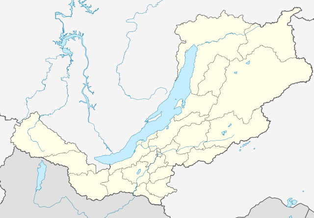
Русский: Позиционная карта Бурятии Равноугольная проекция, растяжение — 165%. Координаты краёв:
|
| Date | |
| Source |
Own work This W3C-unspecified vector image was created with Inkscape . |
| Author | Виктор В |
| Other versions |
Derivative works of this file: Outline Map of Buryatia (with position on the Map of Russia).svg
[] |

.svg)

Licensing
| I, the copyright holder of this work, release this work into the public domain. This applies worldwide. In some countries this may not be legally possible; if so: I grant anyone the right to use this work for any purpose, without any conditions, unless such conditions are required by law. |
File history
Click on a date/time to view the file as it appeared at that time.
| Date/Time | Thumbnail | Dimensions | User | Comment | |
|---|---|---|---|---|---|
| current | 19:07, 13 March 2010 | | 1,361 × 946 (153 KB) | Виктор В | == {{int:filedesc}} == {{Information |Description={{ru|1=Позиционная карта Бурятии<br>Равноугольная проекция, растяжение — 165%. Координаты краёв: * север — 57.5° С * юг — |
File usage
The following pages on the English Wikipedia use this file (pages on other projects are not listed):
Global file usage
The following other wikis use this file:
- Usage on af.wikipedia.org
- Usage on az.wikipedia.org
- Usage on ba.wikipedia.org
- Usage on be.wikipedia.org
- Закаменск
- Кяхта
- Улан-Удэ
- Гусінаазёрск
- Бабушкін
- Северабайкальск
- Шаблон:На карце/Расія Бурація
- Новы Уаян
- Ніжнеангарск
- Багдарын
- Кырэн
- Гусінае (возера, Бурація)
- Таксіма
- Кічэра
- Хорынск
- Бічура (Бурація)
- Баргузін (сяло)
- Усць-Баргузін
- Анахой
- Янчукан
- Селенгінск
- Наушкі
- Каменск (Бурація)
- Заіграева
- Кабанск
- Івалгінск
- Танхой
- Джыда (Бурація)
- Петрапаўлаўка (Джыдзінскі раён)
- Курумкан
- Орлік (Бурація)
- Гусінае Возера
- Северамуйск
- Тарбагатай (Тарбагатайскі раён)
- Кіжынга
- Мухаршыбір
- Турунтаева (Бурація)
- Саснова-Азёрскае
- Баянгол (Закаменскі раён)
- Ганзурына (пасёлак пры станцыі)
- Ангір (Заіграеўскі раён)
- Анахой-Шыбір
- Дабата
- Дабо-Ёнхар
- Usage on bxr.wikipedia.org
- Usage on ce.wikipedia.org
View more global usage of this file.