

Original file (SVG file, nominally 1,603 × 1,004 pixels, file size: 11.85 MB)
| This is a file from the Wikimedia Commons. Information from its description page there is shown below. Commons is a freely licensed media file repository. You can help. |
Summary
| Description |
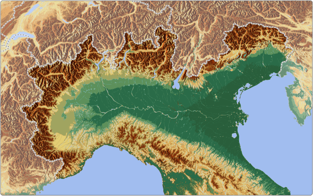
Relief location map of Northern Italy with 1905 borders. |
|||
| Date | ||||
| Source |
Own work |
|||
| Author | Goran tek-en, following request by noclador | |||
| Permission (Reusing this file) |
This file is licensed under the Creative Commons Attribution-Share Alike 4.0 International license. Attribution: Goran tek-en
|
|||
| SVG development |
|
Equirectangular projection, vertical stretching – % | ||
|---|---|---|
| 47.040513 | ||
| 6.074312 | ←↕→ | 14.189153 |
| 43.464221 | ||
![]() Info This map is part of a series of location maps with unified standards: SVG as file format, standardised colours and name scheme. The boundaries on these maps always show the de facto situation and do not imply any endorsement or acceptance. In case of changes of the shown area the file is updated. The old version will be uploaded as a new file and thus is still available.
Info This map is part of a series of location maps with unified standards: SVG as file format, standardised colours and name scheme. The boundaries on these maps always show the de facto situation and do not imply any endorsement or acceptance. In case of changes of the shown area the file is updated. The old version will be uploaded as a new file and thus is still available.
File history
Click on a date/time to view the file as it appeared at that time.
| Date/Time | Thumbnail | Dimensions | User | Comment | |
|---|---|---|---|---|---|
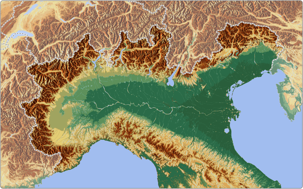
| current | 14:41, 28 January 2019 | | 1,603 × 1,004 (11.85 MB) | Goran tek-en | Added fading as requested by {{U|noclador}} |
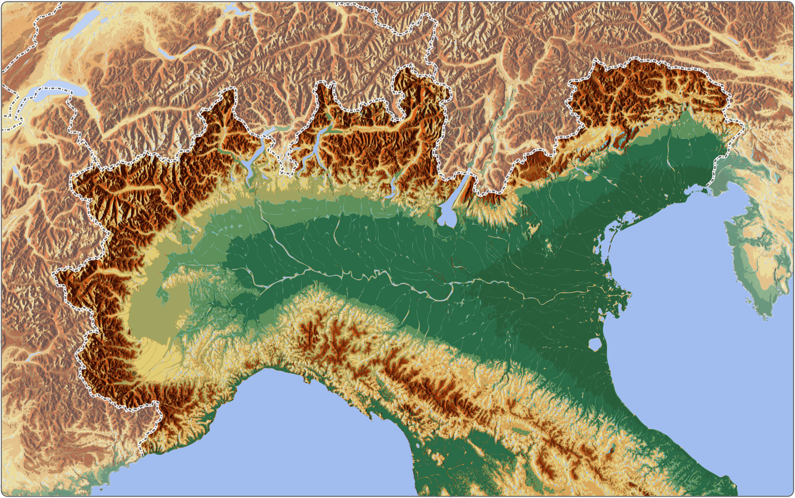
| 17:50, 25 January 2019 |  | 1,603 × 1,004 (11.74 MB) | Goran tek-en | {{Information |description ={{en|1=Relief location map of Northern Italy with 1905 borders.}} |date =20190125 |source ={{Own}}<br> {{Derived from|Italy location map 1905.svg|NATO_Map_Symbol_-_Mountain_Infantry.svg}} Derived from; * [https://maps-for-free.com/ Maps for free] * {{U|noclador}} |author =Goran tek-en, following request by {{U|noclador}} |permission ={{Cc-by-sa-4.0 |1= Goran tek-en}} {{ODbL OpenStreetMap}} |other fields... |