
No higher resolution available.
Newbury,_Site_of_the_Second_Battle_of_Newbury_1644_-_geograph.org.uk_-_1656273.jpg (640 × 480 pixels, file size: 107 KB, MIME type: image/jpeg)
| This is a file from the Wikimedia Commons. Information from its description page there is shown below. Commons is a freely licensed media file repository. You can help. |
Summary
| Description |
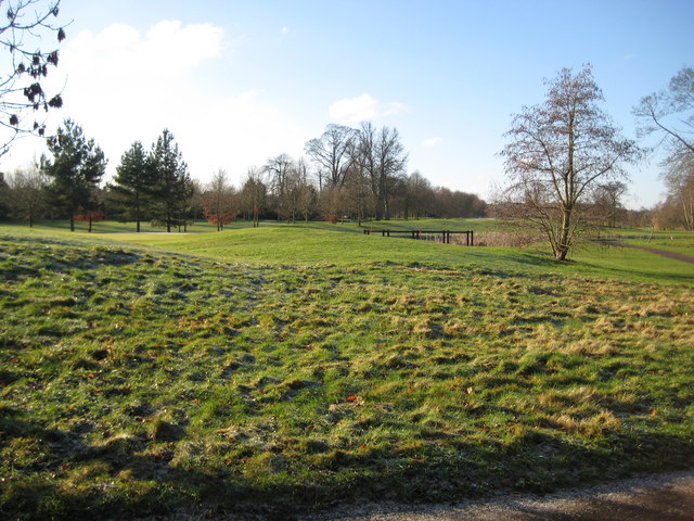
Newbury: Site of the Second Battle of Newbury 1644 During the Civil War, between 1641 and 1651, the Second Battle of Newbury took place around this area on 27 October 1644 when the Royalists under King Charles I fought the Parliamentarians under the Earl of Essex. The King had just returned with his army from the West Country and relieved the garrison at Donnington Castle on 22 October. However the larger Parliamentarian army regrouped and attacked the Royalist strongholds at the castle, at Speen to the west, and Shaw House to the east on 27 October. The Royalist army comprised some 8,500 troops and the Parliamentarians mustered about 19,000. The ensuing skirmishes resulted in similar proportions of casualties on both sides, with the Royalists losing about 1,500 and the Parliamentarians about 2,000 men. Although the result of the battle was indecisive, the King realised that his army could not face a further battle on a second day and made an unopposed retreat to his Oxford stronghold. On the following day the Parliamentarians regained Donnington Castle, which had been their stronghold until the First Battle of Newbury, only for the Royalists to retake it on 9 November.
Today the battlefield is occupied by the golf course of the Donnington Grove Country Club. |
| Date | |
| Source | From geograph.org.uk |
| Author | Nigel Cox |
| Attribution (required by the license) | Nigel Cox / Newbury: Site of the Second Battle of Newbury 1644 / |
| Camera location | | View this and other nearby images on: OpenStreetMap |
|---|
_heading:247.00&language=en)
| Object location | | View this and other nearby images on: OpenStreetMap |
|---|
_heading:247.00&language=en)
Licensing

|
This image was taken from the Geograph project collection. See this photograph's page on the Geograph website for the photographer's contact details. The copyright on this image is owned by Nigel Cox and is licensed for reuse under the Creative Commons Attribution-ShareAlike 2.0 license.
|
This file is licensed under the Creative Commons Attribution-Share Alike 2.0 Generic license.
Attribution: Nigel Cox
- You are free:
- to share – to copy, distribute and transmit the work
- to remix – to adapt the work
- Under the following conditions:
- attribution – You must give appropriate credit, provide a link to the license, and indicate if changes were made. You may do so in any reasonable manner, but not in any way that suggests the licensor endorses you or your use.
- share alike – If you remix, transform, or build upon the material, you must distribute your contributions under the same or compatible license as the original.
File history
Click on a date/time to view the file as it appeared at that time.
| Date/Time | Thumbnail | Dimensions | User | Comment | |
|---|---|---|---|---|---|
| current | 21:37, 4 March 2011 | | 640 × 480 (107 KB) | GeographBot | == {{int:filedesc}} == {{Information |description={{en|1=Newbury: Site of the Second Battle of Newbury 1644 During the Civil War, between 1641 and 1651, the Second Battle of Newbury took place around this area on 27 October 1644 when the Royalists under K |
File usage
The following pages on the English Wikipedia use this file (pages on other projects are not listed):
Global file usage
The following other wikis use this file:
- Usage on fr.wikipedia.org
- Usage on nl.wikipedia.org
- Usage on www.wikidata.org