
No higher resolution available.
LocationWesternAfrica.png (359 × 359 pixels, file size: 7 KB, MIME type: image/png)
| This is a file from the Wikimedia Commons. Information from its description page there is shown below. Commons is a freely licensed media file repository. You can help. |

|
File:Africa-countries-western.svg is a vector version of this file. It should be used in place of this PNG file when not inferior.
File:LocationWesternAfrica.png → File:Africa-countries-western.svg
For more information, see Help:SVG. |
 |
Summary
| Description |
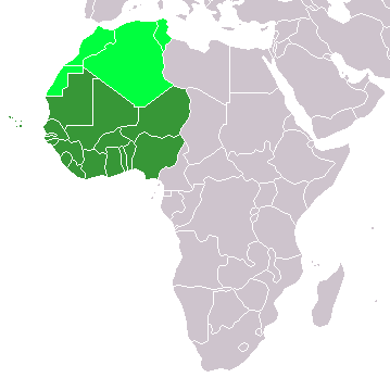
Map: Africa – Western Africa:
|
| Date | 4 February 2006 (original upload date) |
| Source | No machine-readable source provided. Own work assumed (based on copyright claims). |
| Author | No machine-readable author provided. E Pluribus Anthony~commonswiki assumed (based on copyright claims). |
Licensing
| I, the copyright holder of this work, release this work into the public domain. This applies worldwide. In some countries this may not be legally possible; if so: I grant anyone the right to use this work for any purpose, without any conditions, unless such conditions are required by law. |
File history
Click on a date/time to view the file as it appeared at that time.
| Date/Time | Thumbnail | Dimensions | User | Comment | |
|---|---|---|---|---|---|
| current | 13:17, 11 November 2022 | | 359 × 359 (7 KB) | <bdi>ColorfulSmoke</bdi> | . |
| 11:56, 11 November 2022 |  | 360 × 359 (7 KB) | <bdi>ColorfulSmoke</bdi> | ||
| 16:47, 17 March 2018 |  | 360 × 392 (10 KB) | Maphobbyist | Upload | |
| 20:54, 31 March 2016 |  | 360 × 392 (13 KB) | Fry1989 | Reverted to version as of 21:24, 9 July 2011 (UTC) | |
| 23:24, 15 March 2016 |  | 360 × 392 (10 KB) | <bdi>Hpyounes</bdi> | new colors | |
| 21:24, 9 July 2011 |  | 360 × 392 (13 KB) | Maphobbyist | South Sudan has become independent on July 9, 2011. Sudan and South Sudan are shown with the new international border between them. | |
| 08:09, 11 December 2007 |  | 360 × 392 (14 KB) | Hoshie | added Cabinda (Angola) and Montenegro. | |
| 10:55, 5 February 2006 |  | 360 × 392 (8 KB) | <bdi>E Pluribus Anthony~commonswiki</bdi> | Map: Western Africa, including Maghreb (location) | |
| 19:52, 4 February 2006 |  | 360 × 392 (9 KB) | <bdi>E Pluribus Anthony~commonswiki</bdi> | Map: Western Africa, including Maghreb (location) |
File usage
The following pages on the English Wikipedia use this file (pages on other projects are not listed):
Global file usage
The following other wikis use this file:
- Usage on ab.wikipedia.org
- Usage on ace.wikipedia.org
- Usage on af.wikipedia.org
- Usage on als.wikipedia.org
- Usage on am.wikipedia.org
- Usage on ar.wikipedia.org
- ليبيا
- جيبوتي
- موريتانيا
- تونس
- السودان
- الصحراء الغربية
- أنغولا
- أوغندا
- إسبانيا
- تشاد
- النيجر
- مالي
- السنغال
- غامبيا
- غينيا بيساو
- غينيا
- سيراليون
- ليبيريا
- غانا
- توغو
- بنين
- بوركينا فاسو
- الصومال
- كينيا
- تنزانيا
- الغابون
- زامبيا
- موزمبيق
- زيمبابوي
- البرتغال
- الكاميرون
- جمهورية الكونغو الديمقراطية
- بوتسوانا
- جنوب إفريقيا
- جمهورية إفريقيا الوسطى
- جمهورية الكونغو
- سيشل
- ناميبيا
View more global usage of this file.