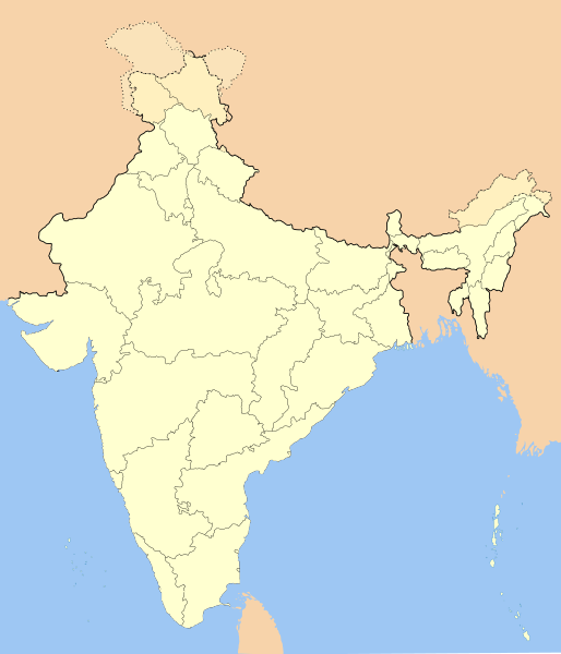
Original file (SVG file, nominally 1,486 × 1,734 pixels, file size: 252 KB)
 | This image was previously a featured picture, but community consensus determined that it no longer meets our featured-picture criteria. If you have a high-quality image that you believe meets the criteria, be sure to upload it, using the proper free-license tag, then add it to a relevant article and nominate it. |
| This image was selected as picture of the day on the English Wikipedia for August 15, 2006. |
File history
Click on a date/time to view the file as it appeared at that time.
| Date/Time | Thumbnail | Dimensions | User | Comment | |
|---|---|---|---|---|---|
| current | 14:01, 14 October 2020 |  | 1,486 × 1,734 (252 KB) | NordNordWest | upd Telangana/Andhra Pradesh |
| 17:48, 25 July 2020 |  | 1,486 × 1,734 (252 KB) | NordNordWest | Jammu and Kashmir/Ladakh | |
| 01:42, 1 April 2017 |  | 1,486 × 1,734 (337 KB) | Utcursch | Moved Telangana to states layer | |
| 14:08, 29 January 2016 |  | 1,486 × 1,734 (379 KB) | Csyogi | Telangana update | |
| 15:36, 16 May 2006 |  | 1,486 × 1,734 (421 KB) | Nichalp | Siachen edits | |
| 12:49, 13 May 2006 |  | 1,486 × 1,734 (424 KB) | Nichalp | Siachen correction | |
| 12:43, 13 May 2006 |  | 1,486 × 1,734 (422 KB) | Nichalp | border changes | |
| 05:53, 9 May 2006 |  | 1,486 × 1,734 (421 KB) | Nichalp | Updates as suggested in FPC | |
| 07:48, 7 May 2006 |  | 1,486 × 1,734 (421 KB) | Nichalp | Version 2; added some additional disputed areas in the Western sector | |
| 18:27, 6 May 2006 |  | 1,486 × 1,734 (416 KB) | Nichalp | Blank locator map of India SVG Map drawn by me, ~~~~ category:Maps of India |
File usage
More than 100 pages use this file. The following list shows the first 100 pages that use this file only. A full list is available.
View more links to this file.
Global file usage
The following other wikis use this file:
- Usage on as.wikipedia.org
- Usage on as.wikiquote.org
- Usage on awa.wikipedia.org
- खाँचा:ज्ञानसन्दूक भारत कय क्षेत्र
- भारत कय राज्य
- भारत कय संघ राज्यक्षेत्र
- खाँचा:India States and Territories Labelled Map
- खाँचा:Infobox Indian Jurisdiction
- खाँचा:Infobox Indian Jurisdiction/Examples/city
- खाँचा:Infobox Indian Jurisdiction/Examples/district
- खाँचा:Infobox Indian Jurisdiction/Examples/neighbourhood
- खाँचा:Infobox Indian Jurisdiction/Examples/protected area
- खाँचा:Infobox Indian Jurisdiction/Examples/state
- खाँचा:Infobox Indian Jurisdiction/Examples/suburb
- खाँचा:Infobox Indian Jurisdiction/Examples/town
- खाँचा:Infobox Indian Jurisdiction/Examples/village
- खाँचा:Infobox Indian Jurisdiction/Sandbox
- खाँचा:Infobox Indian Jurisdiction/Sandbox/doc
- खाँचा:Infobox Indian Jurisdiction/doc
- खाँचा:ज्ञानसन्दूक भारत कय क्षेत्र/doc
- सीधी
- Usage on ban.wikipedia.org
- Usage on bn.wikipedia.org
- Usage on bpy.wikipedia.org
View more global usage of this file.


