
Size of this preview: 800 × 512 pixels. Other resolutions: 320 × 205 pixels | 640 × 410 pixels | 1,024 × 656 pixels | 1,280 × 819 pixels | 1,601 × 1,025 pixels.
Original file (1,601 × 1,025 pixels, file size: 126 KB, MIME type: image/png)
| This is a file from the Wikimedia Commons. Information from its description page there is shown below. Commons is a freely licensed media file repository. You can help. |
Summary
| Description |
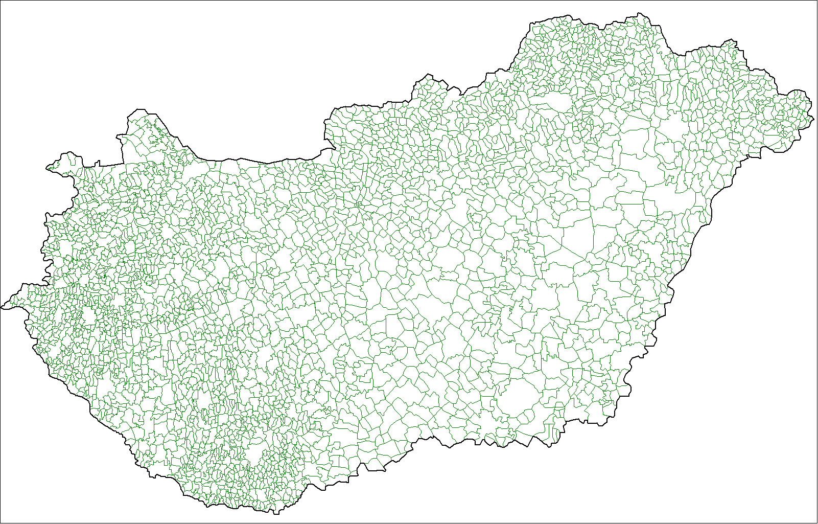
Map of the local administrative units of Hungary (városok, községek, and megyei jogú városok). |
| Date | |
| Source | Own work, using MapInfo Professional v8.5 and various mapping resources. |
| Author | Rarelibra (talk · contribs) |
Licensing
| This work has been released into the public domain by its author, I, Rarelibra. This applies worldwide. In some countries this may not be legally possible; if so: I, Rarelibra grants anyone the right to use this work for any purpose, without any conditions, unless such conditions are required by law. |
File history
Click on a date/time to view the file as it appeared at that time.
| Date/Time | Thumbnail | Dimensions | User | Comment | |
|---|---|---|---|---|---|
| current | 17:32, 9 July 2007 | | 1,601 × 1,025 (126 KB) | Rarelibra | Finished. |
| 00:16, 30 June 2007 |  | 1,025 × 614 (61 KB) | Rarelibra | more updated | |
| 23:57, 29 June 2007 |  | 1,025 × 614 (59 KB) | Rarelibra | ||
| 23:56, 29 June 2007 |  | 1,025 × 614 (59 KB) | Rarelibra | Updated - just a little more to go. | |
| 16:06, 27 June 2007 |  | 1,601 × 1,025 (94 KB) | Rarelibra | Map of the local administrative units of Hungary (városok, községek, and megyei jogú városok). Created by ~~~~ for public domain use, using MapInfo Professional v8.5 and various mapping resources. NOTE: Currently a work-in-progress, will be finishin |
File usage
The following pages on the English Wikipedia use this file (pages on other projects are not listed):
Global file usage
The following other wikis use this file:
- Usage on bjn.wikipedia.org
- Usage on bn.wikipedia.org
- Usage on ca.wikipedia.org
- Usage on el.wikipedia.org
- Usage on es.wikipedia.org
- Usage on fa.wikipedia.org
- Usage on fr.wikipedia.org
- Usage on id.wikipedia.org
- Usage on it.wikipedia.org
- Usage on ka.wikipedia.org
- Usage on lez.wikipedia.org
- Usage on nl.wikipedia.org
- Usage on nn.wikipedia.org
- Usage on ro.wikipedia.org
- Usage on sco.wikipedia.org
- Usage on simple.wikipedia.org
- Usage on sk.wikipedia.org
- Usage on sl.wikipedia.org
- Usage on sr.wikipedia.org
- Usage on uk.wikipedia.org
- Usage on xmf.wikipedia.org
- Usage on zh.wikipedia.org