

Size of this PNG preview of this SVG file: 701 × 599 pixels. Other resolutions: 281 × 240 pixels | 561 × 480 pixels | 898 × 768 pixels | 1,198 × 1,024 pixels | 2,395 × 2,048 pixels | 1,401 × 1,198 pixels.
Original file (SVG file, nominally 1,401 × 1,198 pixels, file size: 1.42 MB)
| This is a file from the Wikimedia Commons. Information from its description page there is shown below. Commons is a freely licensed media file repository. You can help. |
Bosnia
Summary
| Description |
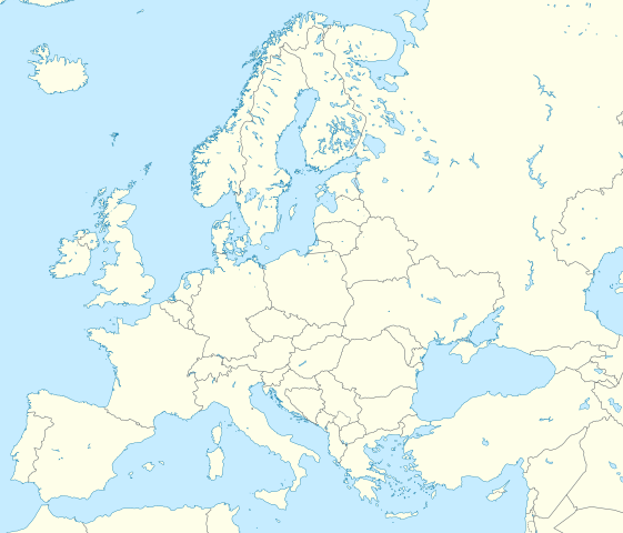
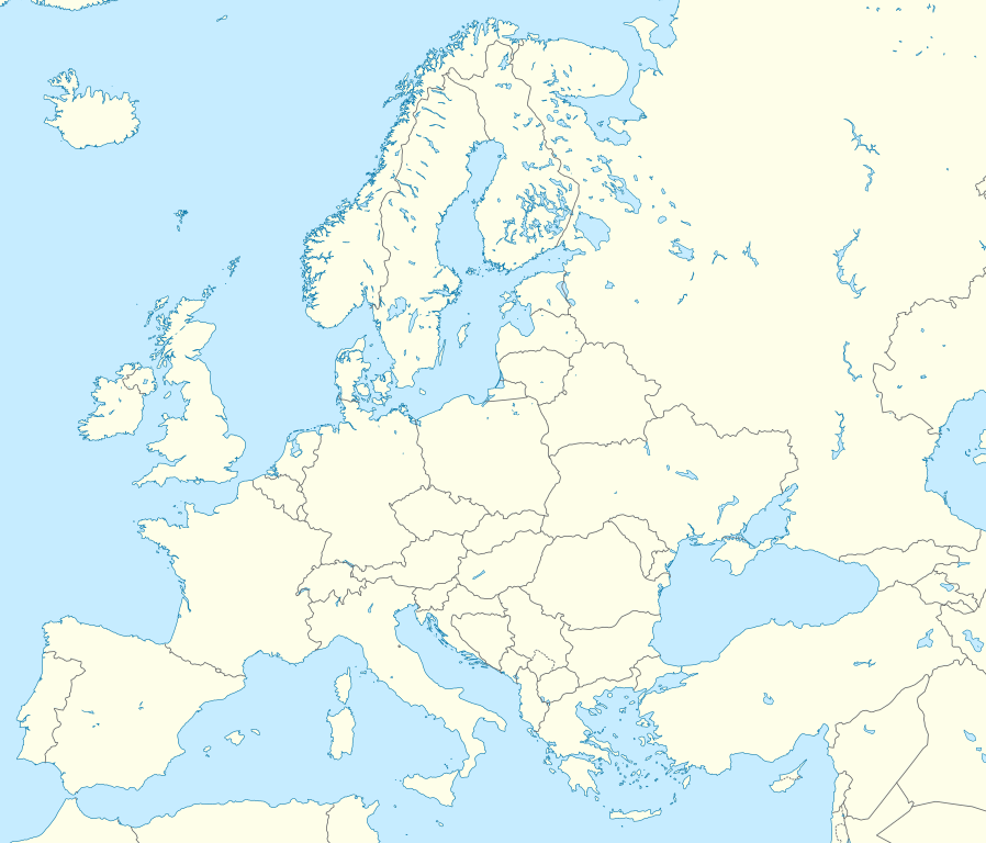
Location map Europe; Political with state boundaries; Lambert azimuthal equal-area projection
|
| Date | |
| Source |
Own work
|
| Author | Alexrk2 |
| Other versions |
Derivative works of this file: []
|


.svg)


|
This map has been made or improved in the German Kartenwerkstatt (Map Lab). You can propose maps to improve as well.
|
Licensing
I, the copyright holder of this work, hereby publish it under the following license:
This file is licensed under the Creative Commons Attribution-Share Alike 3.0 Unported license.
- You are free:
- to share – to copy, distribute and transmit the work
- to remix – to adapt the work
- Under the following conditions:
- attribution – You must give appropriate credit, provide a link to the license, and indicate if changes were made. You may do so in any reasonable manner, but not in any way that suggests the licensor endorses you or your use.
- share alike – If you remix, transform, or build upon the material, you must distribute your contributions under the same or compatible license as the original.
File history
Click on a date/time to view the file as it appeared at that time.
| Date/Time | Thumbnail | Dimensions | User | Comment | |
|---|---|---|---|---|---|
| current | 03:13, 9 March 2020 | | 1,401 × 1,198 (1.42 MB) | Ratherous | Add more inland water for better accuracy |
| 10:28, 1 February 2020 |  | 1,401 × 1,198 (1.84 MB) | Thayts | + disputed crimea, golan heights, and other minor border tweaks | |
| 20:50, 11 March 2010 |  | 1,401 × 1,198 (1.84 MB) | Alexrk2 | fixing inland water | |
| 19:58, 11 March 2010 |  | 1,401 × 1,198 (1.83 MB) | Alexrk2 | == Summary == {{Information |Description= {{de|Positionskarte Europa; Politisch mit Staatsgrenzen; Flächentreue Azimutalprojektion}} {{en|Location map Europe; Political with state boundaries; Lambert azimuthal equal-area pro |
File usage
More than 100 pages use this file. The following list shows the first 100 pages that use this file only. A full list is available.
- Aalburg
- Aaldonk
- Aalten
- Amsterdam Airport Schiphol
- Arkhangelsk
- Atatürk Airport
- Atyrau
- Barcelona
- Battle of Actium
- Battle of Texel
- Belišće
- Berlin Brandenburg Airport
- Berlin Tegel Airport
- Brighton and Hove
- Brussels Airport
- Burgas
- Calgary International Airport
- Cetinje
- Chernyakhovsk
- Dublin Airport
- Dubrovnik
- Düsseldorf Airport
- Edmonton International Airport
- Ejea de los Caballeros
- EuroAirport Basel Mulhouse Freiburg
- European Youth Parliament
- Frankfurt Airport
- Frankfurt–Hahn Airport
- Gap, Hautes-Alpes
- Gjakova
- Gjilan
- Grozny
- Guadalajara International Airport
- Hamburg
- Heathrow Airport
- Helsinki
- Helsinki Airport
- Izhevsk
- Jewry Wall
- Kazan
- Kerch
- Kirov, Kirov Oblast
- Kosovo Polje
- Kremlin
- Leiden University
- Madrid–Barajas Airport
- Manchester
- Maribor
- Mitrovica, Kosovo
- Monte Carlo
- Montréal–Trudeau International Airport
- Moscow Domodedovo Airport
- Munich Airport
- Murmansk
- Nasdaq Nordic
- Našice
- Newcastle upon Tyne
- Nizhny Novgorod
- Odense
- Orly Airport
- Osijek
- Peja
- Perm, Russia
- Pljevlja
- Plovdiv
- Portlaoise
- Prizren
- Pskov
- Rahovec
- Ramstein Air Base
- Rostov-on-Don
- Rotterdam
- Samara
- Saratov
- Sevastopol
- Sheffield
- Sheremetyevo International Airport
- Smolensk
- Smyrna
- Sobibor extermination camp
- Sochi
- Sombor
- Staraya Ladoga
- Stromboli
- Subotica
- Suceava
- Tirana International Airport Nënë Tereza
- Troy
- Tula, Russia
- Tver
- Ufa
- Upper Silesian metropolitan area
- Valpovo
- Vinkovci
- Vitoria-Gasteiz
- Vladikavkaz
- Volgograd
- Yalta
- Yaroslavl
- Zaragoza
View more links to this file.
Global file usage
The following other wikis use this file:
- Usage on ab.wikipedia.org
- Usage on af.wikipedia.org
- Usage on als.wikipedia.org
- Usage on ar.wikipedia.org
- دوري أبطال أوروبا 2000–01
- دوري أبطال أوروبا 1994–95
- دوري أبطال أوروبا 1995–96
- دوري أبطال أوروبا 1996–97
- قالب:خريطة مواقع أوروبا
- بطولات رابطة محترفي التنس 500 نقطة
- الدوري الأوروبي لكرة السلة
- قالب:خريطة موقع أوروبا
- مجموعة سيتي لكرة القدم
- دوري أبطال أوروبا لكرة اليد
- الدوري الأوروبي 2016–17
- الكأس الدولية للأبطال 2016
- دوري أبطال أوروبا 2017–18
- الكأس الدولية للأبطال 2019
- قائمة مدن الاتحاد الأوروبي حسب تعداد السكان المسلمين
- ناسداك نورديك
- قالب:2019–20 coronavirus pandemic data/Map (dots)
- يوروكوربس
- دوري المؤتمر الأوروبي 2021–22
- دوري السوبر الأوروبي
- الدوري الأوروبي 2022–23
- سباق الجائزة الكبرى للدراجات النارية موسم 2022
- دوري أبطال أوروبا 2023–24
- الدوري الأوروبي 2023–24
- سباق الجائزة الكبرى للدراجات النارية موسم 2023
- دوري المؤتمر الأوروبي 2023–24
- Usage on arz.wikipedia.org
- Usage on ast.wikipedia.org
- Usage on av.wikipedia.org
- Usage on azb.wikipedia.org
View more global usage of this file.