

Size of this PNG preview of this SVG file: 531 × 600 pixels. Other resolutions: 212 × 240 pixels | 425 × 480 pixels | 680 × 768 pixels | 906 × 1,024 pixels | 1,812 × 2,048 pixels | 2,655 × 3,000 pixels.
Original file (SVG file, nominally 2,655 × 3,000 pixels, file size: 1.6 MB)
| This is a file from the Wikimedia Commons. Information from its description page there is shown below. Commons is a freely licensed media file repository. You can help. |
Summary
| Description |
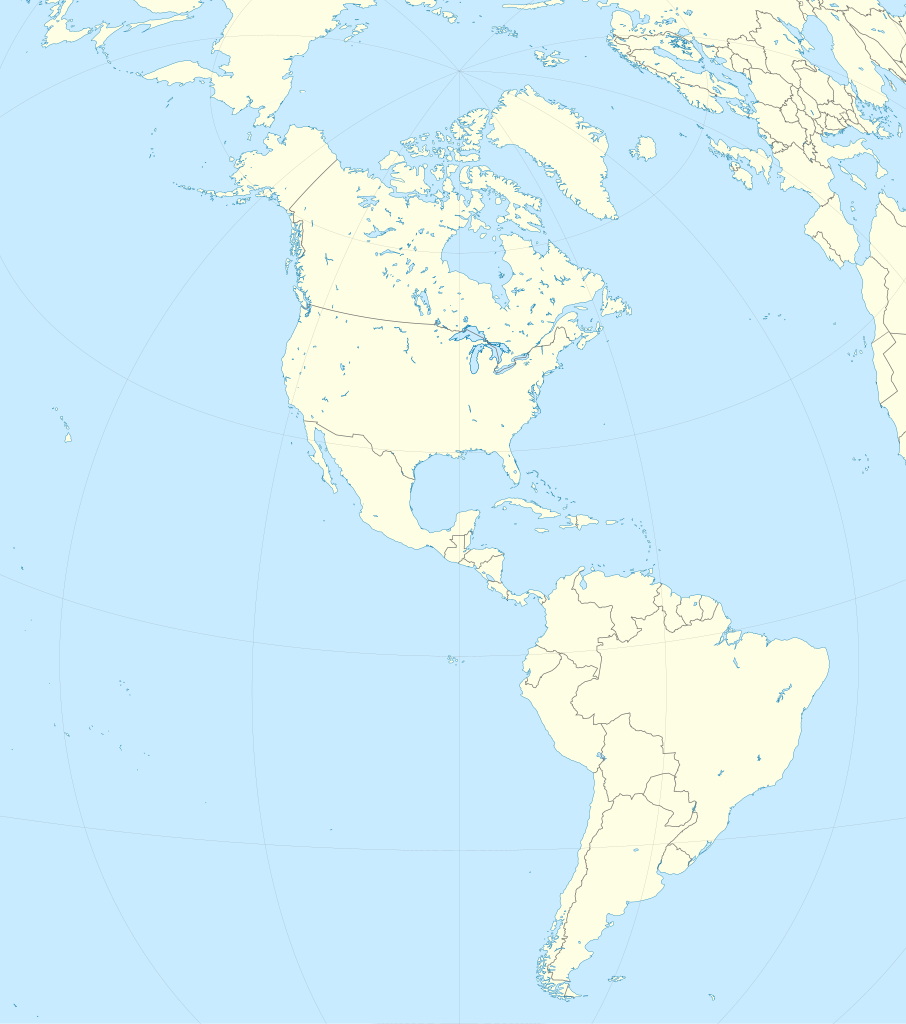
Location map of the Americas with political borders.
|
||
| Date | |||
| Source | Own work | ||
| Author |
TUBS |
||
| SVG development | This locator map was created with Adobe Illustrator by TUBS. This SVG locator map was uploaded with Commonist.
• (Credits to Alexrk2 who plotted natural earth data. Original svg provided by him is here) |

Licensing
I, the copyright holder of this work, hereby publish it under the following licenses:
This file is licensed under the Creative Commons Attribution-Share Alike 3.0 Unported license.
- You are free:
- to share – to copy, distribute and transmit the work
- to remix – to adapt the work
- Under the following conditions:
- attribution – You must give appropriate credit, provide a link to the license, and indicate if changes were made. You may do so in any reasonable manner, but not in any way that suggests the licensor endorses you or your use.
- share alike – If you remix, transform, or build upon the material, you must distribute your contributions under the same or compatible license as the original.

|
Permission is granted to copy, distribute and/or modify this document under the terms of the GNU Free Documentation License, Version 1.2 or any later version published by the Free Software Foundation; with no Invariant Sections, no Front-Cover Texts, and no Back-Cover Texts. A copy of the license is included in the section entitled GNU Free Documentation License. |
You may select the license of your choice.

|
I'd greatly appreciate, that you attribute this media file to Wikimedia Commons, if used outside Wikipedia or Commons. For use in publications such as books, newspapers, blogs, websites, please insert here the following line:
|
File history
Click on a date/time to view the file as it appeared at that time.
| Date/Time | Thumbnail | Dimensions | User | Comment | |
|---|---|---|---|---|---|
| current | 14:09, 14 July 2012 | | 2,655 × 3,000 (1.6 MB) | TUBS | {{Information |Description={{en|1= Location map of the Americas. * Projection: Lambert azimuthal equal-area projection. * Area of interest: :* N: X.X° N :* S: -X.X° S :* W: -X.X° E :* E: -X.X° E * Projection center: :* NS: 20.0° N :* WE: 90° W * ... |
File usage
The following pages on the English Wikipedia use this file (pages on other projects are not listed):
- 2004 Summer Olympics torch relay
- 2012 Web.com Tour
- 2013 Web.com Tour
- 2014 Web.com Tour
- 2015 Web.com Tour
- 2016 Web.com Tour
- 2017 Web.com Tour
- 2018 Pan American Men's Club Handball Championship
- 2018 Web.com Tour
- 2020–21 Korn Ferry Tour
- Action of Tambo Nuevo
- Arctotherium
- Argentina–Mexico football rivalry
- Battle of Angamos
- Battle of Ayacucho
- Battle of Ayohuma
- Battle of Boquerón (1932)
- Battle of Boyacá
- Battle of Cajamarca
- Battle of Carabobo
- Battle of Cañada Strongest
- Battle of Cotagaita
- Battle of Cusco
- Battle of Gondra
- Battle of Ingavi
- Battle of Iquique
- Battle of Kilometer 7
- Battle of La Concepción
- Battle of Lake Maracaibo
- Battle of Las Salinas
- Battle of Pampa Germania
- Battle of Pequereque
- Battle of Pisagua
- Battle of Quillagua
- Battle of Río Grande
- Battle of Salta
- Battle of San Francisco
- Battle of Sopachuy
- Battle of Suipacha
- Battle of Tacna
- Battle of Tambillo
- Battle of Topáter
- Battle of Tucumán
- Battle of Vilcapugio
- Battle of Viluma
- Battle of Yavi
- Battle of la Tablada de Tolomosa
- Bogotá
- Campo Vía pocket
- First Battle of Nanawa
- Guatemala City
- Johan Adolf Pengel International Airport
- List of American countries by monthly average wage
- List of UNESCO Global Geoparks in Latin America
- MicroCon
- Panama City
- Parapan American Games
- Second Battle of Nanawa
- Super Rugby Americas
- Terrestrial analogue site
- Wet 'n Wild (brand)
Global file usage
The following other wikis use this file:
- Usage on ar.wikipedia.org
- Usage on ast.wikipedia.org
- Usage on ca.wikipedia.org
- Usage on ceb.wikipedia.org
- Usage on de.wikipedia.org
- Usage on eo.wikipedia.org
- Usage on es.wikipedia.org
- Usage on fr.wikipedia.org
- Usage on hu.wikipedia.org
- Usage on id.wikipedia.org
- Usage on ja.wikipedia.org
- Usage on kn.wikipedia.org
- Usage on ko.wikipedia.org
- Usage on sat.wikipedia.org
- Usage on sd.wikipedia.org
- Usage on si.wikipedia.org
- Usage on sv.wikipedia.org
- Usage on tl.wikipedia.org
- Usage on tr.wikipedia.org
- Usage on uk.wikipedia.org
View more global usage of this file.