
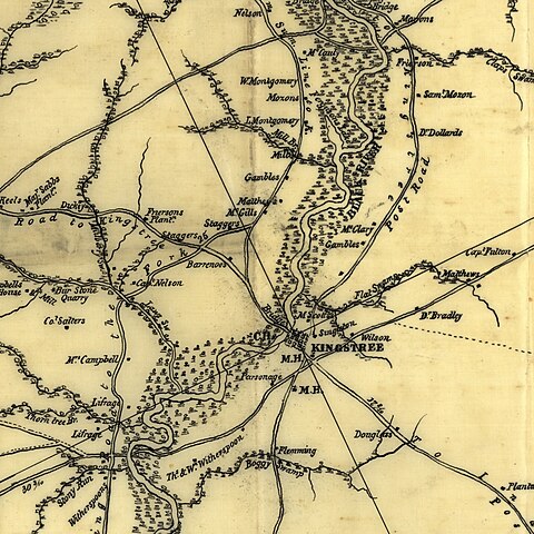
Size of this preview: 600 × 600 pixels. Other resolutions: 240 × 240 pixels | 480 × 480 pixels | 768 × 768 pixels | 1,024 × 1,024 pixels | 1,644 × 1,644 pixels.
Original file (1,644 × 1,644 pixels, file size: 1 MB, MIME type: image/jpeg)
| This is a file from the Wikimedia Commons. Information from its description page there is shown below. Commons is a freely licensed media file repository. You can help. |
Summary
| Description |
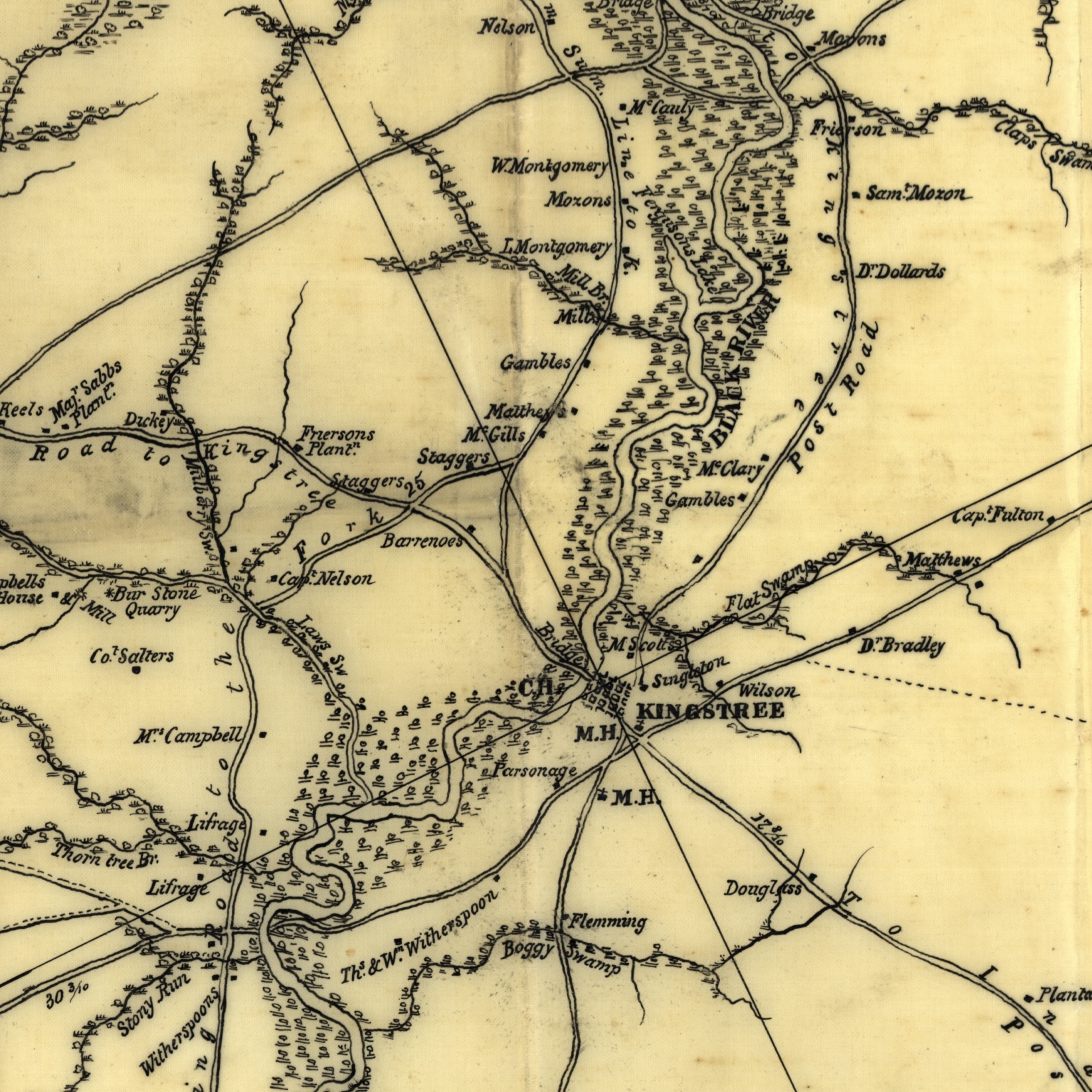
American Civil War U.S. Army map of Kingstree area derivative on an 1820s map |
| Date | |
| Source |
Derivative of File:Williamsburgh District, South Carolina - LOC 2007627941.tif - Relief shown by hachures. - Scale from Stephenson's Civil War Maps, 1989. - "Approved, Chas. R. Suter, 1st Lt., U.S. Engrs., Chf. Engr. D.S." - Pen and ink tracing of map in Robert Mills's Atlas of the State of Carolina ... Baltimore, F. Lucas, Jr. [1825]. - LC Civil War maps (2nd ed.), S156 |
| Author | U.S. Army |
Licensing
This work is in the public domain in the United States because it was published (or registered with the U.S. Copyright Office) before January 1, 1929.
Public domain works must be out of copyright in both the United States and in the source country of the work in order to be hosted on the Commons. If the work is not a U.S. work, the file must have an additional copyright tag indicating the copyright status in the source country.
Note: This tag should not be used for sound recordings. |
File history
Click on a date/time to view the file as it appeared at that time.
| Date/Time | Thumbnail | Dimensions | User | Comment | |
|---|---|---|---|---|---|
| current | 06:07, 6 August 2023 | | 1,644 × 1,644 (1 MB) | Jengod | Uploaded a work by U.S. Army from Derivative of File:Williamsburgh District, South Carolina - LOC 2007627941.tif - Relief shown by hachures. - Scale from Stephenson's Civil War Maps, 1989. - "Approved, Chas. R. Suter, 1st Lt., U.S. Engrs., Chf. Engr. D.S." - Pen and ink tracing of map in Robert Mills's Atlas of the State of Carolina ... Baltimore, F. Lucas, Jr. [1825]. - LC Civil War maps (2nd ed.), S156 with UploadWizard |
File usage
The following pages on the English Wikipedia use this file (pages on other projects are not listed):