
Engativá | |
|---|---|
 Location of the locality in the city of Bogotá | |
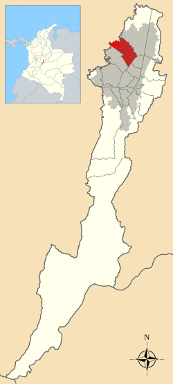 Location of the locality in the Capital District of Bogotá | |
| Coordinates: 4°43′34″N 74°06′00″W / 4.72611°N 74.10000°W | |
| Country | Colombia |
| City | Bogotá D.C. |
| Neighbourhoods | |
| Area | |
| • Total | 35.88 km2 (13.85 sq mi) |
| Elevation | 2,600 m (8,500 ft) |
| Population (2007)[1] | |
| • Total | 824,337 |
| • Density | 23,000/km2 (60,000/sq mi) |
| Time zone | UTC-5 (Colombia Standard Time) |
| Website | Official website |
Engativá is the 10th locality of Bogotá. It is located in the west of the city. This district is mostly inhabited by lower middle and working class residents.
YouTube Encyclopedic
-
1/3Views:2 495454459
-
Himno de la diócesis de Engativá
-
Centro Crecer Engativá
-
Engativá estrena jardín en Villa Cristina
Transcription
Etymology
Engativá is either derived from Ingativá; cacique Inga; "Land of the Sun", or from the Chibcha words Engue-tivá; engue is "delicious" and tivá is "captain"; "captain of the delicious [people]".[2]
Geography
Engativá is limited to the north by the Salitre River with Suba, to the east by Avenida Carrera 68 and Bosa, to the south by Avenida El Dorado and Fontibón, and to the west by the Bogotá River.
History
Engativá was a village in the confederation of the Muisca. Modern Engativá was founded in 1537. It has become a rural territory, people used to work as farmers of Bogotá in 1571. The church of the town was built in honor of the pope Clemente XII in 1638 and from 1737 it was named the Nuestra Señora de los Dolores's Sanctuary. The church was destroyed by earthquakes, but was rebuilt in 1960.
References
- ^ Population 2007 – DANE (in Spanish)
- ^ (in Spanish) Etymology localities of Bogotá
 | Administrative subdivision in 20 localities |  | |
|---|---|---|---|
| Metropolitan Area | |||
| Geography | |||
This Colombian location article is a stub. You can help Wikipedia by expanding it. |