
| Devil's Thumb | |
|---|---|
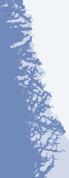
 Devil's Thumb seen from the southwest | |
| Highest point | |
| Elevation | 546 m (1,791 ft)[1] |
| Prominence | 546 m (1,791 ft) |
| Coordinates | 74°35′37″N 57°08′28″W / 74.59361°N 57.14111°W |
| Geography | |
 Devil's Thumb | |
| Location | Kullorsuaq Island, Upernavik Archipelago, Greenland |
Devil's Thumb (Greenlandic: Kullorsuaq, Danish: Djævelens Tommelfinger) is a pinnacle-shaped, 546 m (1,791 ft)[1] mountain in the Avannaata municipality in northwestern Greenland.
YouTube Encyclopedic
-
1/3Views:49785 5966 365 497
-
Canadian Government Arctic Expedition, Eskimo, 1922
-
Angry Pacific Ocean Pounds Shore Acres, Oregon - HUGE Wave Explosions!
-
Money, happiness and eternal life - Greed (director's cut) | DW Documentary
Transcription
Geography
Devil's Thumb is located in the central part of Kullorsuaq Island, an island in the northern part of Upernavik Archipelago, in Melville Bay, approximately 3 km (1.9 mi) to the north of the Kullorsuaq settlement.[1]
It is a familiar feature for Arctic navigators, similar to the Melville Monument further north, but bigger.[2]
References
Wikimedia Commons has media related to Devil's Thumb.
- ^ a b c Upernavik Avannarleq, Saga Map, Tage Schjøtt, 1992
- ^ Geographical Items on North Greenland Encyclopedia Arctica 14