To install click the Add extension button. That's it.

The source code for the WIKI 2 extension is being checked by specialists of the Mozilla Foundation, Google, and Apple. You could also do it yourself at any point in time.

4,5
Kelly Slayton
Congratulations on this excellent venture… what a great idea!
Alexander Grigorievskiy
I use WIKI 2 every day and almost forgot how the original Wikipedia looks like.
Live Statistics
English Articles
Improved in 24 Hours
Added in 24 Hours
Languages
Recent
Show all languages
What we do. Every page goes through several hundred of perfecting techniques; in live mode. Quite the same Wikipedia. Just better.
.
Leo
Newton
Brights
Milds

From Wikipedia, the free encyclopedia

Cat Mountain
Highest point
Elevation516 m (1,693 ft)
Coordinates26°47′53″N 117°01′41″E / 26.79809°N 117.02816°E / 26.79809; 117.02816
Geography

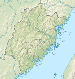
Cat Mountain (also Mao'er Mountains; Chinese: 猫儿山; pinyin: Māo'ér Shān) is a mountain located in Taining County, Sanming, Fujian in the People's Republic of China.[1] Its elevation is 516 m. [2]

References

  1. ^ "National Forest Park (Mao'er Shan) (国家森林公园(猫儿山))". Taining People's Government (泰宁县人民政府).
  2. ^ "Great Golden Lake". Taining Global Geopark.


This page was last edited on 17 August 2023, at 13:23
Basis of this page is in Wikipedia. Text is available under the CC BY-SA 3.0 Unported License. Non-text media are available under their specified licenses. Wikipedia® is a registered trademark of the Wikimedia Foundation, Inc. WIKI 2 is an independent company and has no affiliation with Wikimedia Foundation.