
California 2800W 430S | |||||||||||||||||||||||||||||||||||||||||||||||||||||||||||||||||||||||||||||||
|---|---|---|---|---|---|---|---|---|---|---|---|---|---|---|---|---|---|---|---|---|---|---|---|---|---|---|---|---|---|---|---|---|---|---|---|---|---|---|---|---|---|---|---|---|---|---|---|---|---|---|---|---|---|---|---|---|---|---|---|---|---|---|---|---|---|---|---|---|---|---|---|---|---|---|---|---|---|---|---|
| Former Chicago 'L' rapid transit station | |||||||||||||||||||||||||||||||||||||||||||||||||||||||||||||||||||||||||||||||
 | |||||||||||||||||||||||||||||||||||||||||||||||||||||||||||||||||||||||||||||||
| General information | |||||||||||||||||||||||||||||||||||||||||||||||||||||||||||||||||||||||||||||||
| Location | 430 South California Avenue Chicago, Illinois 60612 | ||||||||||||||||||||||||||||||||||||||||||||||||||||||||||||||||||||||||||||||
| Coordinates | 41°52′31″N 87°41′47″W / 41.8754°N 87.6964°W | ||||||||||||||||||||||||||||||||||||||||||||||||||||||||||||||||||||||||||||||
| Owned by | Chicago Transit Authority | ||||||||||||||||||||||||||||||||||||||||||||||||||||||||||||||||||||||||||||||
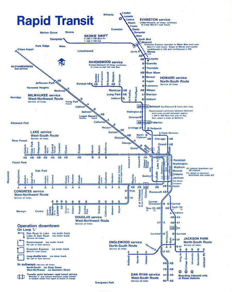
| Line(s) | Congress Branch | ||||||||||||||||||||||||||||||||||||||||||||||||||||||||||||||||||||||||||||||
| Platforms | 1 island platform | ||||||||||||||||||||||||||||||||||||||||||||||||||||||||||||||||||||||||||||||
| Tracks | 2 | ||||||||||||||||||||||||||||||||||||||||||||||||||||||||||||||||||||||||||||||
| History | |||||||||||||||||||||||||||||||||||||||||||||||||||||||||||||||||||||||||||||||
| Opened | June 22, 1958 | ||||||||||||||||||||||||||||||||||||||||||||||||||||||||||||||||||||||||||||||
| Closed | September 2, 1973 | ||||||||||||||||||||||||||||||||||||||||||||||||||||||||||||||||||||||||||||||
| Services | |||||||||||||||||||||||||||||||||||||||||||||||||||||||||||||||||||||||||||||||
| |||||||||||||||||||||||||||||||||||||||||||||||||||||||||||||||||||||||||||||||
| |||||||||||||||||||||||||||||||||||||||||||||||||||||||||||||||||||||||||||||||
| |||||||||||||||||||||||||||||||||||||||||||||||||||||||||||||||||||||||||||||||

California is an abandoned rapid transit station in the East Garfield Park neighborhood of Chicago, Illinois. It is located in the median of the Eisenhower Expressway, The station served the Chicago Transit Authority's Congress Line, which is now part of the Blue Line. California opened on June 22, 1958, and closed on September 2, 1973, as part of a group of budget-related CTA station closings.[2][3]
YouTube Encyclopedic
-
1/1Views:556 189
-
Chicago's FORGOTTEN "L" Lines- The History of Chicago Elevated Trains - IT'S HISTORY
Transcription
History
Elevated station
The original California station opened in 1895 along with several other stations on the Garfield Park branch of the Metropolitan West Side Elevated. When skip-stop service was introduced on the branch in December 9, 1951, California station was designated a B station, meaning only B trains stop at this station.[4] The elevated station closed in 1953 as trains on the branch were rerouted to the temporary tracks along Van Buren Street. The temporary trackage was built to accommodate the construction of the Congress Expressway and a new branch line along the median.[5]
Expressway-median station
The new California station opened on June 22, 1958, on the newly-built Congress branch. Unlike its elevated predecessor, the station was designated an A station, meaning A trains stop at this station. In fact, all stations on the branch west of Racine station were designated A stations; B trains would travel along the Douglas branch (part of today's Pink Line).[6] The station closed on September 2, 1973, as part of a systemwide service reduction.[3][2]
Image Gallery
-
 Station platform
References
- ^ Illinois Department of Transportation (1973). Illinois Highway Map (Map). [1:772,500]. Springfield: Illinois Department of Transportation – via Illinois Digital Archives.
- ^ a b Garfield, Graham. "California". Chicago-L.org. Retrieved May 9, 2009.
- ^ a b Buck, Thomas (September 2, 1973). "CTA Shutting Down 7 Rapid Transit Stations Today". Chicago Tribune. p. 5.
- ^ "CTA revises Garfield, Douglas, institutes A-B service". Chicago Tribune. December 1, 1951. p. 4. Retrieved December 8, 2023.
- ^ "Chicago L.org: Stations - California". www.chicago-l.org. Retrieved December 8, 2023.
- ^ CTA Route Map (Map). Chicago Transit Authority. October 1970. Retrieved December 8, 2023.
External links