
| Bur Бур / Буур | |
|---|---|
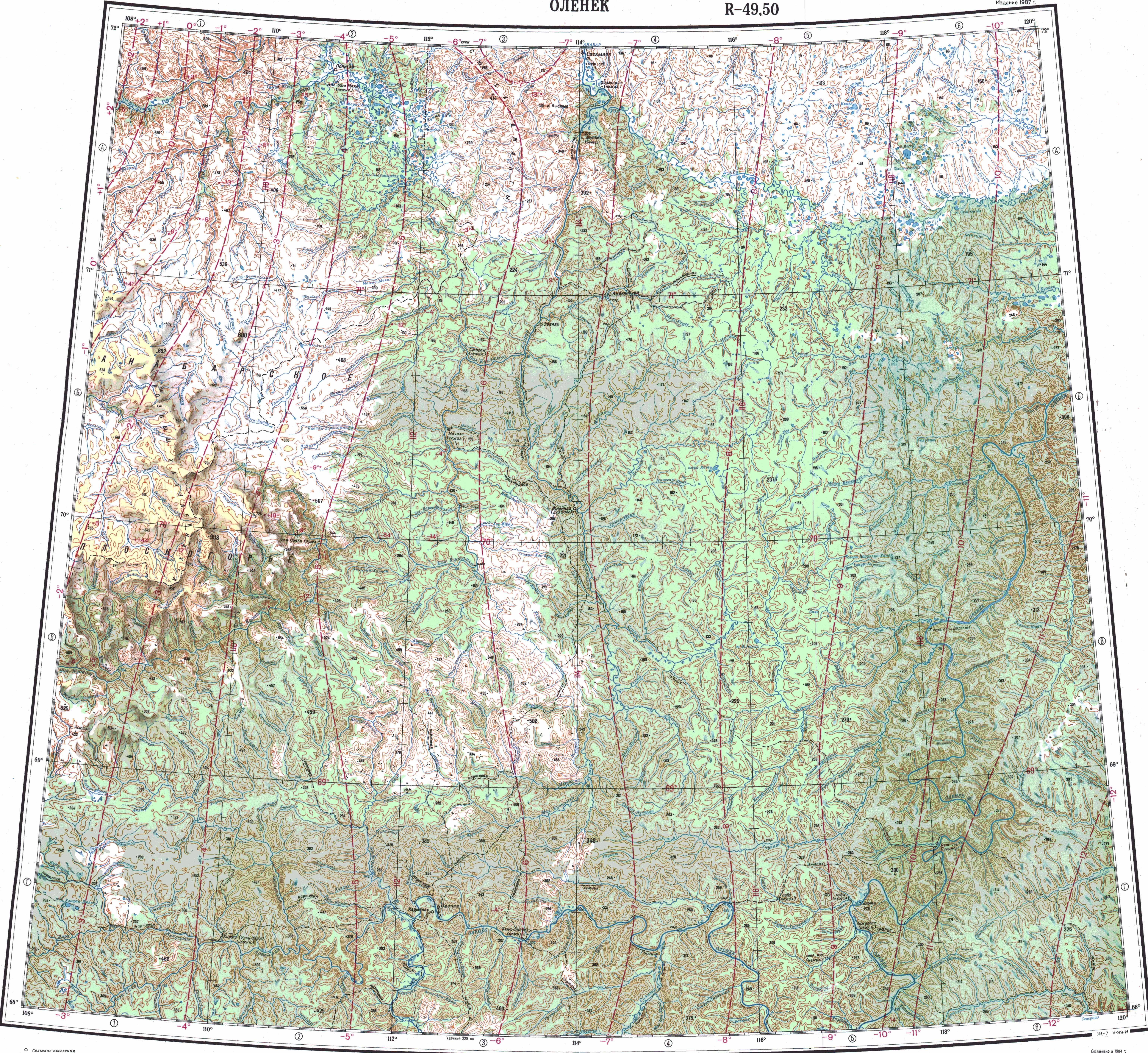
 Course of the Bur map section | |
 Mouth location in Yakutia, Russia  Bur (river) (Russia) | |
| Location | |
| Country | Russia |
| Physical characteristics | |
| Source | |
| • location | North Siberian Lowland |
| • coordinates | 71°4′18″N 118°13′39″E / 71.07167°N 118.22750°E |
| • elevation | 140 m (460 ft) |
| Mouth | Olenyok |
• coordinates | 71°47′22″N 123°42′14″E / 71.78944°N 123.70389°E |
• elevation | 3 m (9.8 ft) |
| Length | 501 km (311 mi) |
| Basin size | 13,900 km2 (5,400 sq mi) |
| Discharge | |
| • average | 80 m3/s (2,800 cu ft/s) |
| Basin features | |
| Progression | Olenyok→Laptev Sea |
The Bur (Russian: Бур; Yakut: Буур, Buur) is a river in Yakutia (Sakha Republic), Russia. It is the second largest tributary of the Olenyok with a length of 501 kilometres (311 mi). Its drainage basin area is 13,900 square kilometres (5,400 sq mi).[1]
The river flows north of the Arctic Circle across a lonely, desolate area devoid of settlements.[2] The river basin is mostly in Olenyoksky District, with the lower course section in Bulunsky District.
Course
The Bur is a left tributary of the Olenyok. Its sources are in a hilly area of the North Siberian Lowland, in the vicinity of the sources of the Udya and the Buolkalakh. It flows across a marshy floodplain with small lakes, meandering strongly and flowing roughly eastwards north of the Beyenchime. Finally it joins the left bank of the Olenyok river 217 km (135 mi) upstream of its mouth. The confluence is only a little downstream from the mouth of the Khorbusuonka in the opposite bank.[3][4][5][6]
The river is frozen between early October and late May. The Bur has several very long tributaries, such as the 191 kilometres (119 mi) long Ary-Ongorbut, the 137 kilometres (85 mi) long Kyra-Khos-Toryuttyakh and the 105 kilometres (65 mi) long Noyuo from the left, as well as the 93 kilometres (58 mi) long Kyuntyukelyakh from the right.[1][2]
 |
Flora and fauna
The river flows north of the Arctic circle across swamps and forest-tundra. The distribution of permafrost is continuous.
The waters of the river are clean. Among the fish species found in the Bur lenok, muksun, nelma, omul, whitefish, taimen, grayling and pike deserve mention.[2]
See also
References
- ^ a b "Река Буур (Пур) in the State Water Register of Russia". textual.ru (in Russian).
- ^ a b c Water of Russia - Бур
- ^ Google Earth
- ^ Бур / Great Soviet Encyclopedia: in 30 vols. / Ch. ed. A.M. Prokhorov. - 3rd ed. - M. Soviet Encyclopedia, 1969-1978
- ^ "Топографска карта R-49 50; M 1:1 000 000 - Topographic USSR Chart (in Russian)". Retrieved 18 March 2022.
- ^ "Топографска карта R-51 52; M 1:1 000 000 - Topographic USSR Chart (in Russian)". Retrieved 18 March 2022.