
| Birekte Биректе / Билэктэ | |
|---|---|
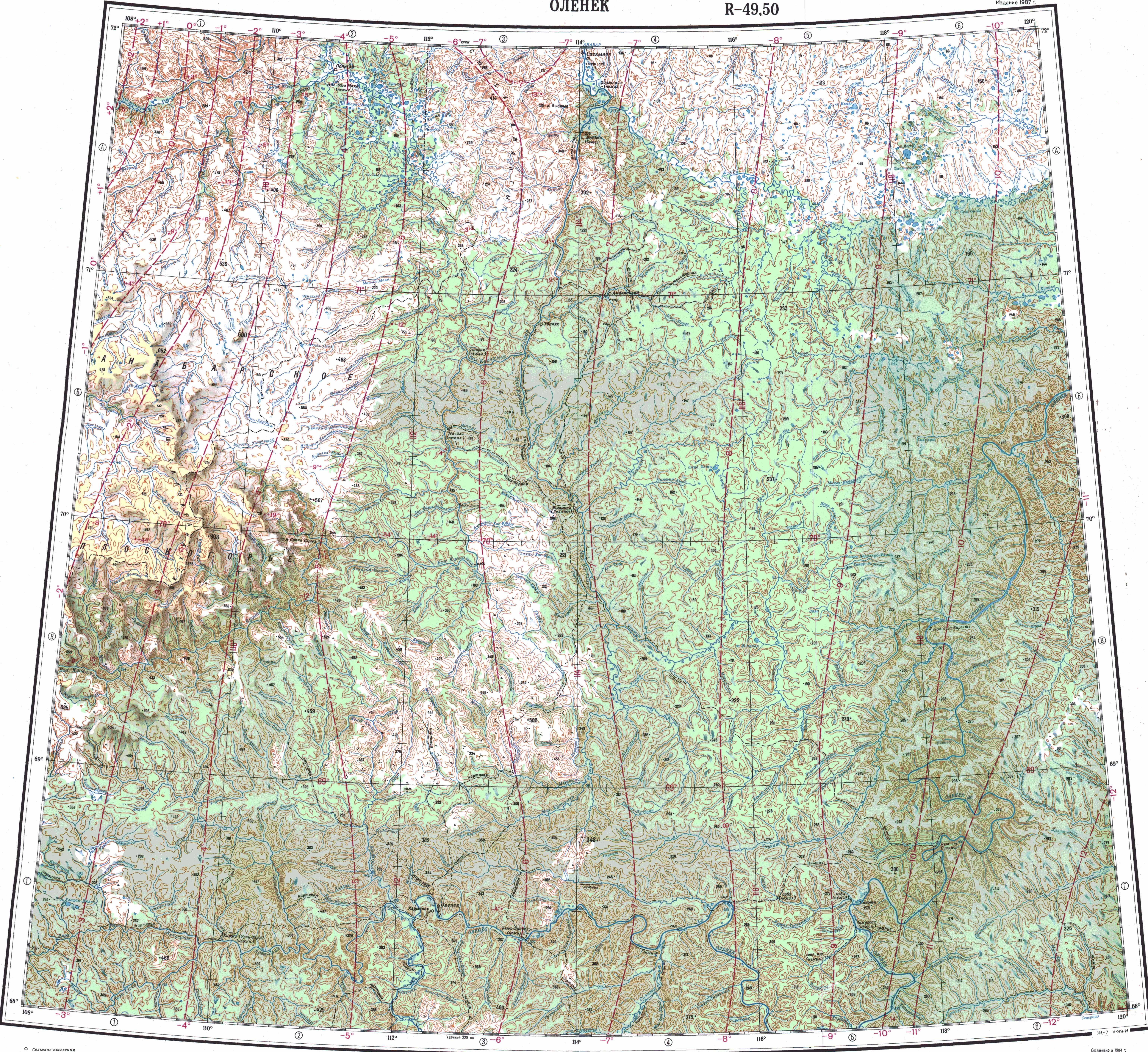
 Course of the Birekte ONC map section | |
 Mouth location in Yakutia, Russia  Birekte (Russia) | |
| Location | |
| Country | Russian Federation |
| Federal subject | Yakutia |
| District | Olenyoksky District |
| Physical characteristics | |
| Source | |
| • location | Central Siberian Plateau |
| • coordinates | 70°16′05″N 116°49′33″E / 70.26806°N 116.82583°E |
| Mouth | Olenyok |
• coordinates | 69°37′34″N 118°07′56″E / 69.62611°N 118.13222°E |
• elevation | 36 m (118 ft) |
| Length | 315 km (196 mi) |
| Basin size | 8,600 km2 (3,300 sq mi) |
| Basin features | |
| Progression | Olenyok→Laptev Sea |
The Birekte (Russian: Биректе; Yakut: Билэктэ, Bilekte) is a river in Yakutia (Sakha Republic), Russia. It is a tributary of the Olenyok with a length of 315 kilometres (196 mi). Its drainage basin area is 8,600 square kilometres (3,300 sq mi).[1]
The river flows north of the Arctic Circle, across a lonely, desolate area devoid of settlements.[2]
Course
The Birekte is a left tributary of the Olenyok. Its sources are in the northern fringes of the Central Siberian Plateau. It heads first southwards and, after the confluence of the Omonos, it flows roughly northeastwards. Finally it joins the left bank of the Olenyok river 13 km (8.1 mi) downstream from the confluence of the Ukukit, 669 km (416 mi) upstream of its mouth.[3][2]
The river is fed by rain and snow. It is frozen between early October and late May. The longest tributary is the 140 kilometres (87 mi) long Omonos (Омоноос) from the right.[1][4]
Birekte Terrane
The Birekte terrane is located by the Anabar Shield, in the north-eastern part of the Siberian Craton, in the basins of the Popigay, Anabar, Birekte and Olenyok rivers. It is defined entirely from geophysical data and is overlain by Riphean-Paleozoic platformal cover.[5][6][7][8][9][10]
See also
References
- ^ a b "Река Бирэктэ in the State Water Register of Russia". textual.ru (in Russian).
- ^ a b "Топографска карта R-49 50; M 1:1 000 000 - Topographic USSR Chart (in Russian)". Retrieved 19 April 2022.
- ^ Google Earth
- ^ Биректе, Great Soviet Encyclopedia, in 30 vols. / Ch. ed. A.M. Prokhorov - 3rd ed. 1969-1978.
- ^ Martin J. van Kranendonk, Vickie Bennett, Hugh R.H. Smithies (eds.) Earth's Oldest Rocks, p. 827
- ^ K.C. Condie (ed.) Archean Crustal Evolution, p. 428
- ^ Schematic map of the Siberian craton showing boundaries of the craton and its terranes
- ^ Phlogopite and phlogopite–amphibole parageneses in the lithospheric mantle of the Birekte terrane (Siberian craton)
- ^ Metasomatic and magmatic processes in the mantle lithosphere of the Birekte terrain of the Siberian craton and their effect on the lithosphere evolution
- ^ Wladyslaw Altermann, Patricia Corcoran (eds.) Precambrian Sedimentary Environments: A Modern Approach to Ancient Depositional Systems, p. 276
External links
- Schematic map of ancient terrains and kimberlitic fields in the Siberian craton
- Fishing & Tourism in Yakutia