
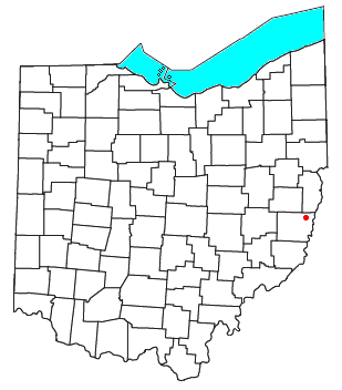
Barton is an unincorporated community in southern Colerain Township, Belmont County, Ohio, United States,[1] along Wheeling Creek.[2] It has a post office with the ZIP code 43905.[3]
Barton is part of the Wheeling, WV–OH Metropolitan Statistical Area.
History
A post office called Barton has been in operation since 1880.[4] Barton was platted in 1905, and named after Abner Barton, the original owner of the land.[5] Barton was originally a mining community.[6]
Notable people
- Ellis R. Dungan, American director who directed many Tamil films in the 1930s to 50s.
- Fraňo Kráľ (1903–1955), Slovak writer and communist politician born in Barton[7]
- Johnny Pramesa, baseball player
References
- ^ U.S. Geological Survey Geographic Names Information System: Barton, Ohio
- ^ Ohio Atlas & Gazetteer. Yarmouth, Me.: DeLorme. 1991. pp. 62–63. ISBN 0-89933-233-1.
- ^ Zip Code Lookup Archived October 8, 2007, at the Wayback Machine
- ^ "Belmont County". Jim Forte Postal History. Retrieved January 2, 2016.
- ^ Overman, William Daniel (1958). Ohio Town Names. Akron, OH: Atlantic Press. p. 9.
- ^ McKelvey, A. T. (1903). Centennial History of Belmont County, Ohio, and Representative Citizens. Biographical Publishing Company. p. 157.
- ^ "Král', Fraňo".
Municipalities and communities of Belmont County, Ohio, United States | ||
|---|---|---|
| Cities |  | |
| Villages | ||
| Townships | ||
| CDPs | ||
| Unincorporated communities |
| |
| Ghost town | ||
| Footnotes | ‡This populated place also has portions in an adjacent county or counties | |
40°06′26″N 80°50′28″W / 40.10722°N 80.84111°W
This Belmont County, Ohio state location article is a stub. You can help Wikipedia by expanding it. |