To install click the Add extension button. That's it.

The source code for the WIKI 2 extension is being checked by specialists of the Mozilla Foundation, Google, and Apple. You could also do it yourself at any point in time.

4,5
Kelly Slayton
Congratulations on this excellent venture… what a great idea!
Alexander Grigorievskiy
I use WIKI 2 every day and almost forgot how the original Wikipedia looks like.
Live Statistics
English Articles
Improved in 24 Hours
Added in 24 Hours
What we do. Every page goes through several hundred of perfecting techniques; in live mode. Quite the same Wikipedia. Just better.
.
Leo
Newton
Brights
Milds

Asa (Kazakhstan)

From Wikipedia, the free encyclopedia

Asa
Location
CountryKazakhstan
Physical characteristics
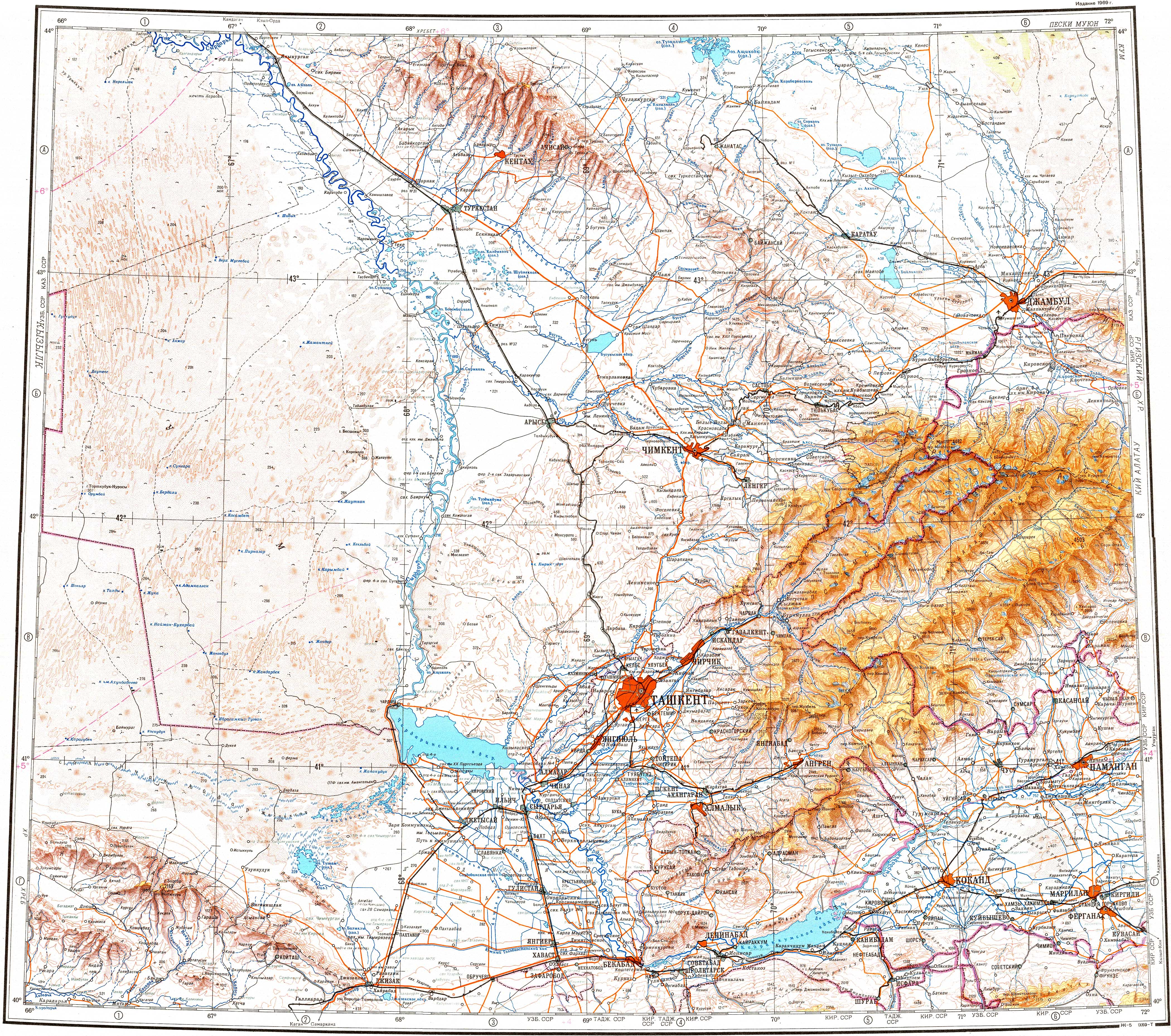
SourceKaratau Mountains
MouthMuyunkum Desert
 • coordinates
43°55′13″N 70°12′24″E / 43.9202°N 70.2066°E / 43.9202; 70.2066
Length253 km (157 mi)
Basin size9,210 km2 (3,560 sq mi)

The Asa (Kazakh: Аса, Asa) is a river of Kazakhstan.

Course

The river has its source in the Karatau Mountains. It flows through lakes Bilikol and Akkol.[1] Further downstream it vanishes in the Muyunkum Desert before reaching the river Talas. The river is 253 kilometres (157 mi) long and has a basin area of 9,210 square kilometres (3,560 sq mi).[2]

References

  1. ^ "K-42 Topographic Chart (in Russian)". Retrieved 20 October 2022.
  2. ^ Асса, Great Soviet Encyclopedia
This page was last edited on 20 October 2022, at 09:06
Basis of this page is in Wikipedia. Text is available under the CC BY-SA 3.0 Unported License. Non-text media are available under their specified licenses. Wikipedia® is a registered trademark of the Wikimedia Foundation, Inc. WIKI 2 is an independent company and has no affiliation with Wikimedia Foundation.