
Amet Sound is a large body of water, an embayment of the Northumberland Strait, on the north shore Nova Scotia straddling Colchester and Pictou counties.[1] It takes its name from Amet Island, a small island just beyond the mouth of the sound in Northumberland Strait.[2] Because of its sheltered position, its bays and harbours are considered "safe haven" for yachts in the event of major storms.[3]
Geography

Extending 19 kilometres (12 mi) east to west and 7.8 kilometres (4.8 mi) north to south, this wide and shallow sound is separated from the Northumberland Strait by Malagash Point peninsula on the west and Cape John on the east. Its inland extensions include Tatamagouche Bay to the west-southwest, Barrachois Harbour to the southwest, Brule Harbour to the south and John Bay to the southeast. In total it has an area of 112.2 square kilometres (43.3 sq mi) and a perimeter of 84 kilometres (52 mi), with a maximum depth of 12.5 metres (41 ft). The mean tidal range is 1.6 metres (5.2 ft) with large tides measuring over 2.5 metres (8.2 ft) The watershed measures 971.7 square kilometres (375.2 sq mi) and the major streams draining the watershed are the Waugh River and River John.[4]
Cultural aspects
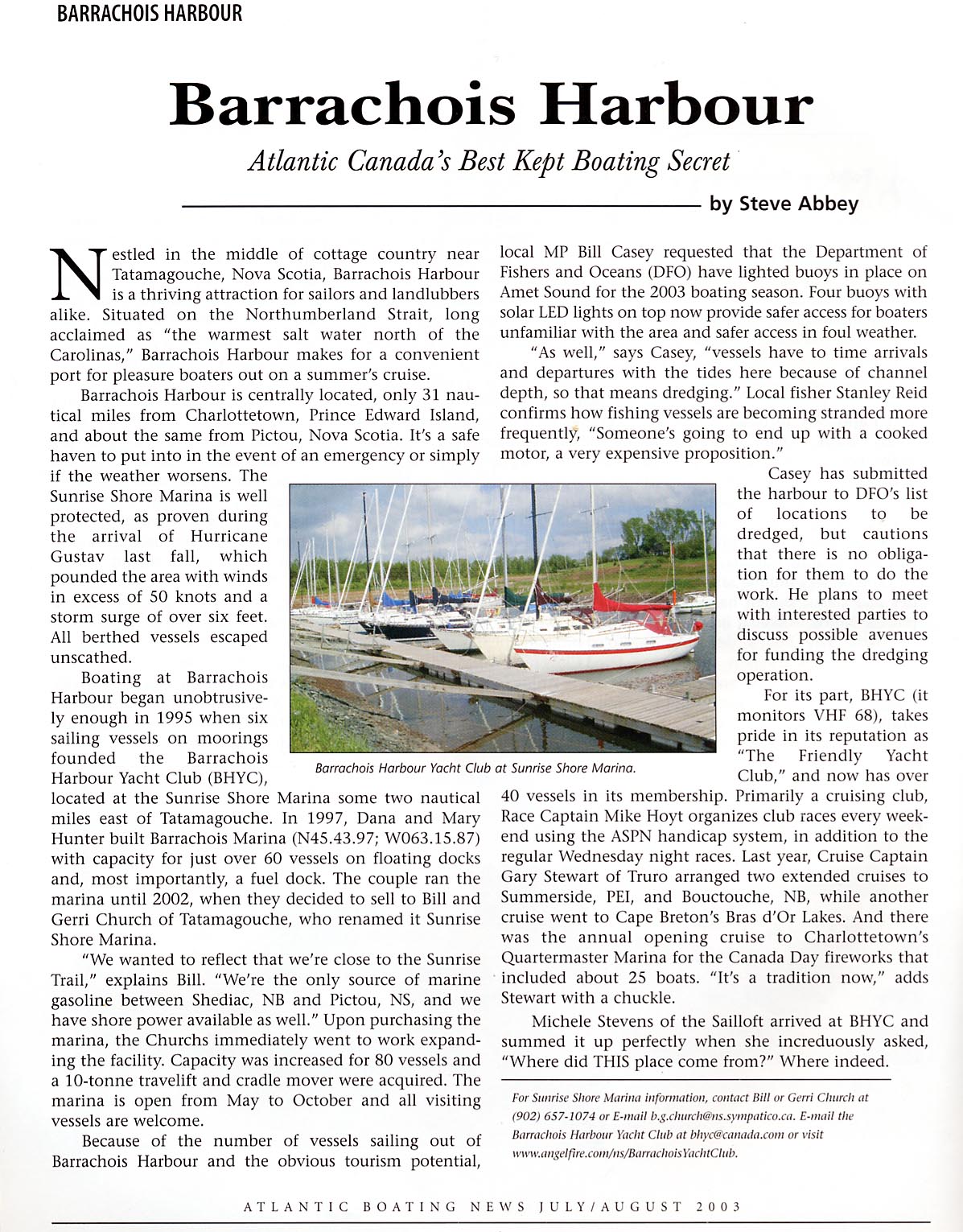
Surrounding land uses are mostly agricultural and recreational. The Barrachois Harbour Yacht Club is the focus of most recreational boating on the Sound. A Tim Horton Children's Camp is situated on Tatamagouche Bay, while Nelson Memorial Park, a municipal picnic park and floral garden is situated near Tatamagouche and the Rushtons Beach provincial day use park is located in Marshville.[5][6] The main populated centres are at Tatamagouche on the Waugh River, and River John at the extreme easterly end of the sound. Historically, the area had numerous lobster canneries which were active in the first quarter of the twentieth century.[7]
References
- ^ "Amet Sound". Geographical Names Board of Canada. Natural Resources Canada. Retrieved 13 January 2018.
- ^ Bill Hamilton, Place Names of Atlantic Canada, University of Toronto Press, 1996, p. 283
- ^ Steve Abbey, Barrachois Harbour: Atlantic Canada's Best Kept Boating Secret, Atlantic Boating News, July/August 2003. Accessed January 6, 2015.
- ^ Amet Sound Archived August 14, 2014, at the Wayback Machine Fisheries and Oceans Canada. Accessed January 6, 2015.
- ^ Nelson Memorial Park Archived January 7, 2015, at the Wayback Machine, Municipality of Colchester County]
- ^ Rushtons Beach Provincial Park
- ^ "1820 - 1920. A Century of Industry on the North Shore of Nova Scotia: Wallace to River John", Sunrise Trail Museum (Virtual Museum), Accessed January 6, 2015
45°47′N 63°12′W / 45.783°N 63.200°W