
Aaqtanit
عقتانيت | |
|---|---|
Village | |
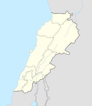 Aaqtanit Location in Lebanon | |
| Coordinates: 33°29′19″N 35°22′48″E / 33.48861°N 35.38000°E | |
| Country | |
| Governorate | South Governorate |
| District | Sidon District |
| Area | |
| • Total | 4.57 sq mi (11.8 km2) |
| Elevation | 490 ft (150 m) |
| Time zone | UTC+2 (EET) |
| • Summer (DST) | UTC+3 (EEST) |
Aaqtanit (Arabic: عقتانيت) is a local authority/village in the Sidon District in Lebanon. It is located 53 km southeast of Beirut.[1]
History
In 1875 Victor Guérin noted on his travels in the region: "I stop for a few moments at A'ktenit. This village has a population of 400 Maronites. The church, dedicated to St. George, is of recent date. Near there, I notice the ruins of a small fort, of which there is still a section of wall, 26 steps long and built with huge blocks, some completely flattened, the others raised with bossing. At the bottom we can see the remains of an ancient reservoir, now filled, next to a spring called A'ïn A'ktenit."[2]
References
- ^ a b c Aaqtanit, Localiban
- ^ Guérin, 1880, p. 516: "A trois heures dix minutes, je chemine, vers l'est-sud-est, Je long du même oued, et à trois heures trente-cinq minutes je fais halte quelques instants à A'ktenit. Ce village a une population de 400 Maronites. L'église, dédiée à saint Georges, est de date récente. Près de là, je remarque les ruines d'un petit fort, dont il subsiste encore un pan de mur, long de 26 pas et bâti avec des blocs énormes, les uns complètement aplanis, les autres relevés en bossage. Au bas on distingue les vestiges d'un ancien réservoir, aujourd'hui comblé, à côté d'une source appelée A'ïn A'ktenit"
Bibliography
- Guérin, V. (1880). Description Géographique Historique et Archéologique de la Palestine (in French). Vol. 3: Galilee, pt. 2. Paris: L'Imprimerie Nationale.
External links
- Aaqtanit, Localiban
| Capital |  | |
|---|---|---|
| Towns and villages |
| |
| Palestinian refugee camps | ||
| Other | ||