
Çaybaşı | |
|---|---|
District and municipality | |
 Map showing Çaybaşı District in Ordu Province | |
 Çaybaşı Location in Turkey | |
| Coordinates: 41°01′03″N 37°05′54″E / 41.01750°N 37.09833°E | |
| Country | Turkey |
| Province | Ordu |
| Government | |
| • Mayor | Hüseyin Semiz (AKP) |
| Area | 102 km2 (39 sq mi) |
| Elevation | 500 m (1,600 ft) |
| Population (2022)[1] | 11,889 |
| • Density | 120/km2 (300/sq mi) |
| Time zone | TRT (UTC+3) |
| Postal code | 52310 |
| Area code | 0452 |
| Climate | Cfb |
| Website | www |
Çaybaşı, formerly Çilader, is a municipality and district of Ordu Province, Turkey.[2] Its area is 102 km2,[3] and its population is 11,889 (2022).[1] The town lies at an elevation of 500 m (1,640 ft).
YouTube Encyclopedic
-
1/2Views:190 864712
-
Hasan Yılmaz - Ayancık Eymeleri (Ayancık ve Çaybaşı Köyü)
-
çaybaşı pansiyon
Transcription
Composition
There are 16 neighbourhoods in Çaybaşı District:[4]
- Akbaba
- Aşıklı Çakıllı
- Boras
- Çağlayan
- Çandır
- Çay
- Çayır
- Cemallı
- Cevizliyatak
- Çınar
- Eğribel
- Göksu
- Gürcek
- Hacıali
- İçeribükü
- İlküvez
- Kapılı
- Kargalı
- Köklük
- Kurudere
- Kuşlu
- Mollalı
- Namazlı
- Taşkesiği
- Tekke
- Yenicuma
References
- ^ a b "Address-based population registration system (ADNKS) results dated 31 December 2022, Favorite Reports" (XLS). TÜİK. Retrieved 19 September 2023.
- ^ Büyükşehir İlçe Belediyesi, Turkey Civil Administration Departments Inventory. Retrieved 19 September 2023.
- ^ "İl ve İlçe Yüz ölçümleri". General Directorate of Mapping. Retrieved 19 September 2023.
- ^ Mahalle, Turkey Civil Administration Departments Inventory. Retrieved 19 September 2023.
External links
- District governor's official website (in Turkish)
- District municipality's official website (in Turkish)
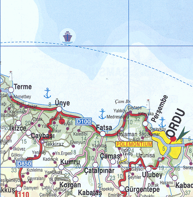
- Road map of Çaybaşı and environs
- Various images of Çaybaşı, Ordu
Çaybaşı in Ordu Province of Turkey | |||||||||||||||||||||||||||
|---|---|---|---|---|---|---|---|---|---|---|---|---|---|---|---|---|---|---|---|---|---|---|---|---|---|---|---|
| Districts |  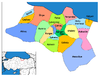 | ||||||||||||||||||||||||||
|
Metropolitan municipalities are bolded. | |||||||||||||||||||||||||||
This article about a Black Sea Region of Turkey location is a stub. You can help Wikipedia by expanding it. |