
| Plješivica | |
|---|---|
 Plješivica  Plješivica Plješivica (Dinaric Alps) | |
| Highest point | |
| Elevation | 1,657 m (5,436 ft) |
| Coordinates | 44°47′N 15°45′E / 44.783°N 15.750°E |
| Geography | |
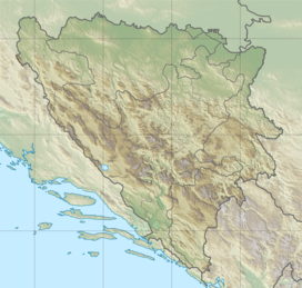
| Location | Croatia, Bosnia and Herzegovina |
| Parent range | Dinaric Alps |


Plješivica or Plješevica (pronounced [pʎɛ̌ʃɛʋitsa]), also called Lička Plješevica (i.e., "Plješevica of Lika"), is a mountain on the border between Croatia and Bosnia and Herzegovina.
YouTube Encyclopedic
-
1/1Views:463 768
-
Tajne Napuštenog Jugoslavenskog Radara I Podzemnog Bunkera "Gola Plješevica" (Oči Željave)
Transcription
Geography
Plješevica is part of the Dinaric Alps, and it stretches in the northwest–southeast direction, extending from Bihać at its northwesternmost point and the mountain pass that separates it from Mala Kapela, along the Krbava field on Croatian side to the southwest and the Una River valley around Ripač on the Bosnian side to the northeast, continuing upstream along the Una by making its canyon southwestern slopes and ending near Gračac where it connect with Velebit.
Željava Air Base, between Ripač and Bihać, is located inside Plješevica, the largest underground airbase in SFR Yugoslavia.
The highest peaks:
- Ozeblin at 1,657 meters,[1] in the central part of the mount
- Gornja Plješevica at 1,649 meters, located in the northern part
- Plješevički Kabao at 1,618 meters, in the north-central region
There are additional peaks that extend from Plješevica, notably Kremen at 1591 meters in the south and Mrsin at 1,269 meters in the north.
References
- ^ Ostroški, Ljiljana, ed. (December 2015). Statistički ljetopis Republike Hrvatske 2015 [Statistical Yearbook of the Republic of Croatia 2015] (PDF). Statistical Yearbook of the Republic of Croatia (in Croatian and English). Vol. 47. Zagreb: Croatian Bureau of Statistics. p. 48. ISSN 1333-3305. Retrieved 27 December 2015.
| International | |
|---|---|
| Geographic | |
This Croatian geography article is a stub. You can help Wikipedia by expanding it. |