
Mestia
მესტია | |
|---|---|
Townlet | |
 Illuminated towers in Mestia | |
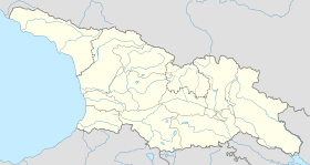 Mestia Location of Mestia in Georgia 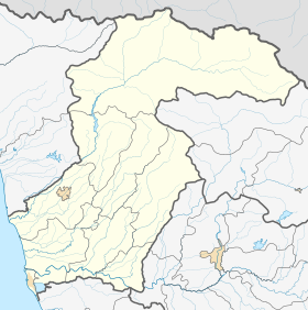 Mestia Mestia (Samegrelo-Zemo Svaneti) | |
| Coordinates: 43°02′44″N 42°43′47″E / 43.04556°N 42.72972°E | |
| Country | Georgia |
| Mkhare | Samegrelo-Zemo Svaneti |
| District | Mestia |
| Elevation | 1,500 m (4,900 ft) |
| Population (2014)[1] | |
| • Total | 1,973 |
| Time zone | UTC+4 (Georgian Time) |
| Climate | Dfb[2] |
Mestia (Georgian: მესტია IPA: [mestʼia]) is a highland townlet (daba) in northwest Georgia, at an elevation of 1,500 metres (4,921 feet) in the Caucasus Mountains.
General information
Mestia is located in the Svaneti region of Samegrelo-Zemo Svaneti province (mkhare), some 128 kilometres (80 miles) northeast of the regional capital of Zugdidi. Mestia and the adjoining 132 villages form Mestia District (raioni). Its area is 3,044 square kilometres (1,175 sq mi); and its population is 9,316 (1,973 in the town itself), according to the 2014 Georgia census. It was granted the status of a townlet (Georgian: daba) in 1968.
Historically and ethnographically, Mestia has always been regarded a chief community of Zemo, or Upper Svaneti province. It was formerly known as Seti (სეტი). The population is mostly Svans, a cultural and linguistic subgroup of the Georgians. Despite its small size, the townlet was an important centre of Georgian culture for centuries and contains a number of medieval monuments, such as churches and forts, included in a list of UNESCO World Heritage Sites.
Mestia is served by the Queen Tamar Airport, which is operated by the state-owned company United Airports of Georgia since 2010.

Architecture and attractions
The townlet is dominated by stone defensive towers of a type seen in Ushguli and Mestia proper ("Svan towers"). A typical Svan fortified dwelling consisted of a tower, an adjacent house (machubi) and some other household structures encircled by a defensive wall.
Unique icons and manuscripts are kept in Mestia Historical-Ethnographic Museum. Mestia is also a centre of mountaineering tourism.
The town is the starting point for the popular Mestia-Ushguli trail. Most hikers complete this route in four days, sleeping in guesthouses or in local farmhouses.[3]

Twin towns
|
Born in Mestia
- Mikheil Khergiani (1932–1969), a mountain climber
See also
- Samegrelo-Zemo Svaneti
- Tviberi Glacier
- Administrative divisions of Georgia (country)
- Lists of World Heritage Sites#Asia
References
- ^ "Population Census 2014". www.geostat.ge. National Statistics Office of Georgia. November 2014. Retrieved 28 June 2021.
- ^ "Mestia climate: Average Temperature, weather by month, Mestia weather averages - Climate-Data.org". en.climate-data.org. Retrieved 2021-12-25.
- ^ "Mestia to Ushguli Trek (a complete guide)". www.caucasus-trekking.com. Retrieved 2023-10-17.
External links
 Mestia travel guide from Wikivoyage
- (in German) Frescos and icons from Svaneti
- Mestia Georgia Hillskiing
43°02′44″N 42°43′47″E / 43.04556°N 42.72972°E


Mestia is the host of the International Short and Mountain film festival.