
| Kurdym | |
|---|---|
| Құрдым | |
 Kurdym Sentinel-2 image. | |
 Kurdym | |
| Location | Shalkarteniz basin |
| Coordinates | 47°58′30″N 62°58′30″E / 47.975°N 62.975°E |
| Type | salt lake |
| Basin countries | Kazakhstan |
| Max. length | 11.6 km (7.2 mi) |
| Max. width | 3.7 km (2.3 mi) |
| Surface area | ca 30 km2 (12 sq mi) |
| Average depth | 1.6 m (5 ft 3 in) |
| Surface elevation | 52 m (171 ft) |
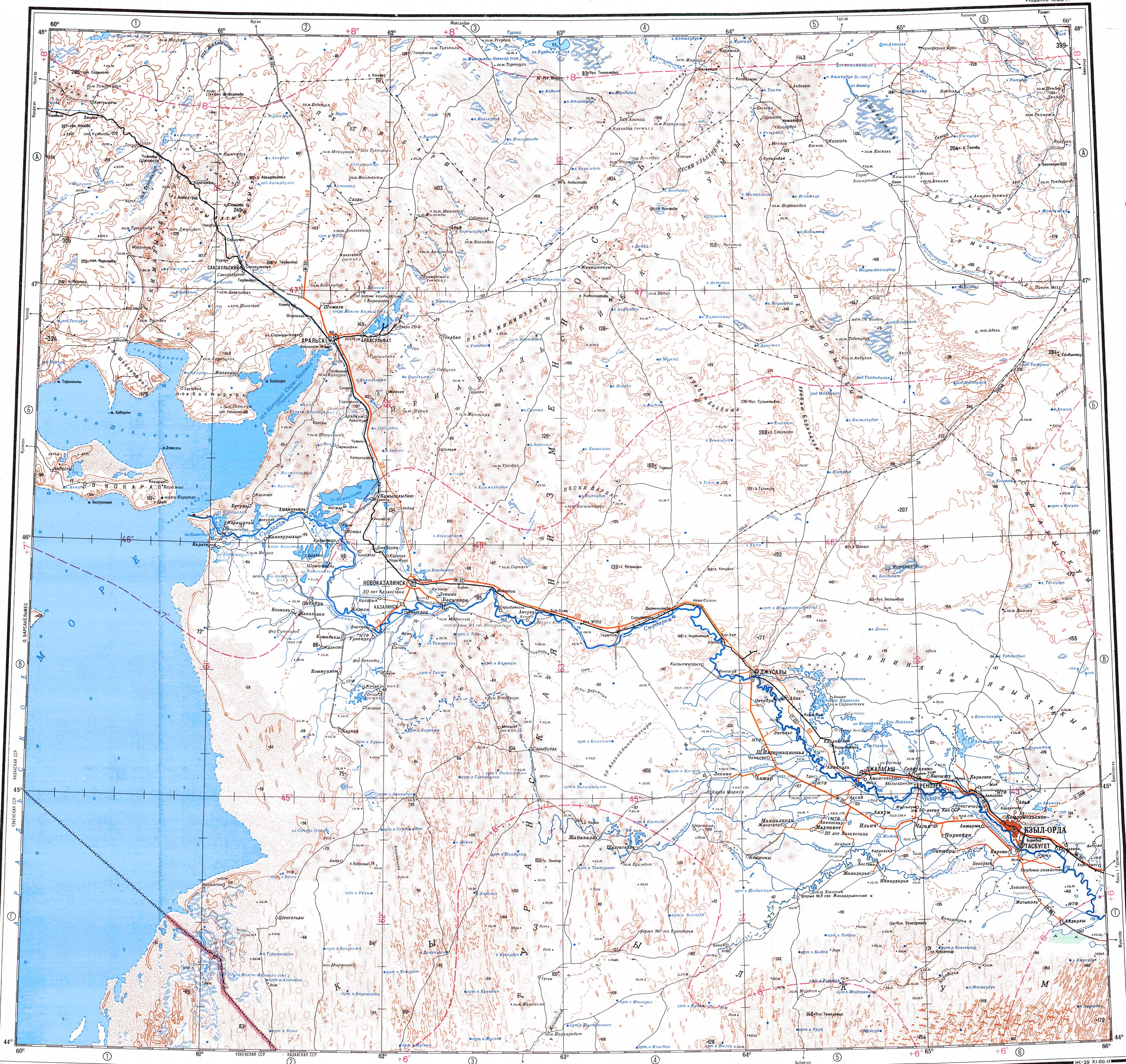
Kurdym (Kazakh: Құрдым) is a lake in Yrgyz District, Aktobe Region, Kazakhstan.[1]
The lake lies at the southern end of the great lake Shalkarteniz, nearly 150 km (93 mi) southeast of Yrgyz, the capital of the district.[2]
Geography
Kurdym belongs to the Shalkarteniz basin. It is located close to the southern shore of its large neighbor and has a roughly hourglass shape, stretching from east to west for 11.6 km (7.2 mi). It has a width of 3.7 km (2.3 mi), and 1.2 km (0.75 mi) in the narrow stretch in the middle. The lake basin is fed by snow and in the summer the shallow parts of the lake may dry up. The shores are flat and marshy in places. The water of the lake is salty, unsuitable for drinking.[3]
Very close to the northwest lies smaller lake Karakol. The last stretch of river Shonkai (Шоңқай), a branch of the Turgay, flows to the southwest. Desert vegetation grows near the lake, including halophytes.[2][1]
 |
See also
References
- ^ a b "L-41 Topographic Chart (in Russian)". Archived from the original on 27 October 2021. Retrieved 8 March 2023.
- ^ a b Google Earth
- ^ Nature of Kazakhstan Encyclopedia / General editor. B. O. Jacob - Almaty: "Kazakh Encyclopedia" LLP, 2011. T.Z. - 304 pages. ISBN 9965-893-64-0 (T.Z.), ISBN 9965-893-19-5
External links
 Media related to Kurdym at Wikimedia Commons
- Shalkar-Nura - An Arid Wilderness and Saiga Sanctuary
This Kazakhstan location article is a stub. You can help Wikipedia by expanding it. |