
| Harry "Babe" Woodyard State Natural Area | |
|---|---|
IUCN category V (protected landscape/seascape) | |
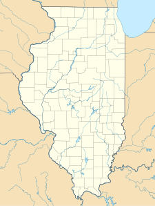 Map of the U.S. state of Illinois showing the location of Harry "Babe" Woodyard State Natural Area  Harry "Babe" Woodyard State Natural Area (the United States) | |
| Location | Vermilion County, Illinois, USA |
| Nearest city | Georgetown, Illinois |
| Coordinates | 39°57′50″N 87°34′25″W / 39.96389°N 87.57361°W |
| Area | 1,104 acres (447 ha) |
| Governing body | Illinois Department of Natural Resources |
Harry "Babe" Woodyard State Natural Area is an Illinois state park on 1,104 acres (447 ha) in Vermilion County, Illinois, United States.
Part of this area used to be owned by Piankeshaw Council, Boy Scouts of America (BSA) a former part of Prairielands Council BSA, after those councils merged in 1992. It was known as Camp Cherokee Hills (the former summer camp of the Piankashaw Council BSA), located east of Georgetown, Illinois. This land was sold in 1996 to the State of Illinois to be an addition to the Harry "Babe" Woodyard State Natural Area.
The Natural Area is named in honor of a local farmer Harry Woodyard from Ridge Farm, Illinois who was elected to represent his constituents in the Illinois House and Illinois Senate in 1979–1996.[1]
References
- "Harry "Babe" Woodyard State Natural Area". Illinois Department of Natural Resources. Archived from the original on May 9, 2007. Retrieved July 16, 2018.
- USGS. "USGS Humrick (IL,IN) Quad". TopoQuest. Retrieved July 5, 2008.
This Vermilion County, Illinois location article is a stub. You can help Wikipedia by expanding it. |