
Original file (2,698 × 4,149 pixels, file size: 3.98 MB, MIME type: image/jpeg)
| This is a file from the Wikimedia Commons. Information from its description page there is shown below. Commons is a freely licensed media file repository. You can help. |
Summary
| Description |
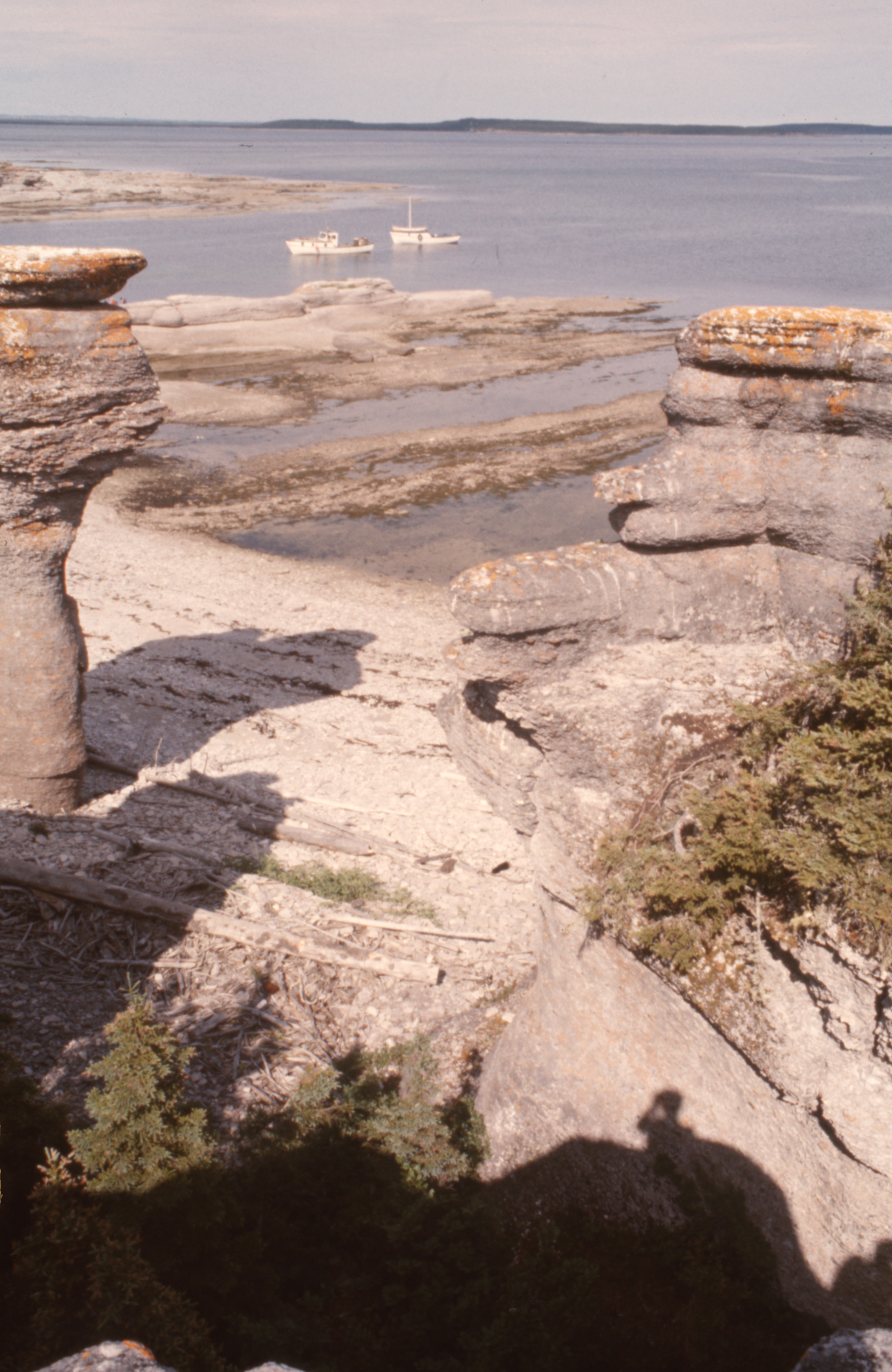
50° 12' 10.0"N - -63° 28' 47.0"W, MRC Minganie, islands of the Mingan archipelago, limestone formations, boreal forest, Gulf of St. Lawrence, aboard the boat of Patrice Lebrun, guide and captain of the excursion, resident of Havre-Saint-Pierre and his family, Tuesday, July 20, 1976.
|
| Date | |
| Source | Own work |
| Author | Nichole Ouellette |
| Camera location | | View this and other nearby images on: OpenStreetMap |
|---|
- More infos/photos, same author: ouellette001.com/
- Québec en photos – Réserve de parc national de l'Archipel-de-Mingan juillet 1976
- Golfe du Saint-Laurent, À bord de la chaloupe, bateau de plaisance
- Îles - îlots - rochers - cayes – récifs
- Îles - îlots - rochers - cayes – récifs
- Quarry, la mer, des îles
Excursion to the heritage site of the Mingan Archipelago, in a rowboat by Patrice Lebrun with his wife Hélène Turbis, his daughter Marilyne, his son Yvan, Guy Lapointe, our sons Jean-Bruno and Jean-Frédéric and me Nichole Ouellette The section of route 138 from Sept-Îles to Havre-Saint-Pierre opened in the spring of 1976. In July, we were among the first tourists to arrive by road, family, car and tent-trailer, the welcome was exceptional, a mixture of curiosity, hospitality, benevolence combined with a touch of incredulous distrust. We were amazed and won over by our contributor to this article
Licensing
- You are free:
- to share – to copy, distribute and transmit the work
- to remix – to adapt the work
- Under the following conditions:
- attribution – You must give appropriate credit, provide a link to the license, and indicate if changes were made. You may do so in any reasonable manner, but not in any way that suggests the licensor endorses you or your use.
File history
Click on a date/time to view the file as it appeared at that time.
| Date/Time | Thumbnail | Dimensions | User | Comment | |
|---|---|---|---|---|---|
| current | 12:40, 13 January 2024 | | 2,698 × 4,149 (3.98 MB) | Nichole Ouellette | Uploaded own work with UploadWizard |
File usage
Global file usage
The following other wikis use this file:
- Usage on fr.wikipedia.org