
Drumkee
| |
|---|---|
 Drumkee townland in 2006 | |
 Drumkee Location within Northern Ireland | |
| County | |
| Country | Northern Ireland |
| Sovereign state | United Kingdom |
| Postcode district | BT71 |
| Dialling code | 028 |
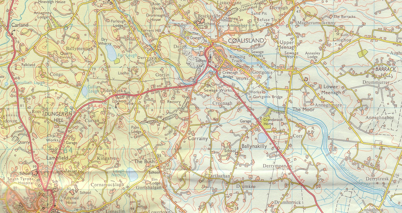
Drumkee is a townland in the southeast of County Tyrone, Northern Ireland. It is directly south of the area presently known as Coalisland[1] and east, and slightly north, of Dungannon.[2] It is situated in the historic barony of Dungannon Middle and the civil parish of Killyman and covers an area of 285 acres.[3] The barony's tax records dated 1666 list two families living in Drumkee.[4]
The name derives from the Irish: Druim Chaoich (Ridge of the Blind Man) or Druim Ceath (ridge of western aspect).[5]
Population
The population of the townland declined during the 19th century:[6][7]
| Year | 1841 | 1851 | 1861 | 1871 | 1881 | 1891 |
|---|---|---|---|---|---|---|
| Population | 350 | 184 | 168 | 145 | 127 | 111 |
| Houses | 70 | 39 | 38 | 31 | 29 | 28 |
Drumkee presently has a population of around 150, and many of its inhabitants are relations.[citation needed] Surnames which appear on the 1666 list include McRory and Condson.[4] By the mid-19th century, the name Hunter appears in Drumkee burial records.[8] The surname Mullan appears in a 1910 directory of the area.[9]
See also
References
- ^ Coalisland Map. Accessed July 11, 2007.
- ^ Dungannon LGD Killyman Ward 95OO17 map from the Northern Ireland Neighbourhood Information Service. Accessed July 11, 2007.
- ^ "Townlands of County Tyrone". IreAtlas Townland Database. Retrieved 27 December 2012.
- ^ a b Hearth Money Rolls of Barony of Dungannon. Accessed July 11, 2007.
- ^ "Drumkee". Place Names NI. Retrieved 20 March 2013.
- ^ "Census of Ireland 1851". Enhanced Parliamentary Papers on Ireland. Retrieved 27 December 2012.[permanent dead link]
- ^ "Census of Ireland 1891". Enhanced Parliamentary Papers on Ireland. Retrieved 27 December 2012.[permanent dead link]
- ^ Killyman Burial Records. Accessed July 11, 2007.
- ^ Belfast and Ulster Towns Directory for 1910. Accessed July 11, 2007.