
Aaramta
عرمتى Aramta | |
|---|---|
Village | |
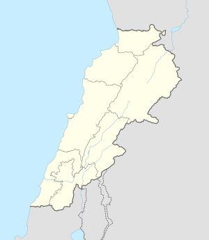 Aaramta Location in Lebanon | |
| Coordinates: 33°27′50″N 35°34′35″E / 33.46389°N 35.57639°E | |
| Grid position | 134/169 L |
| Country | |
| Governorate | South Governorate |
| District | Jezzine District |
| Elevation | 3,380 ft (1,030 m) |
| Time zone | UTC+2 (EET) |
| • Summer (DST) | +3 |
Aaramta (عرمتى) is a village in the Jezzine District in southern Lebanon. Its name comes from Syriac-Aramaic ܥܪܡܐ (‘arma), feminine counterpart being ܥܪܡܬܐ (‘armta) [1] which means rugged, rough, steep, or high.
History
In the 1596 tax records, it was named as a village, 'Aramta, in the Ottoman nahiya (subdistrict) of Sagif under the liwa' (district) of Safad, with a population of 14 households, all Muslim. The villagers paid a fixed tax-rate of 25% on agricultural products, such as wheat, barley, fruit trees, goats and beehives, in addition to "occasional revenues"; a total of 1,355 akçe.[2][3]
On 14 April 1994 three SLA militiamen were killed by a landmine near the village. In response the SLA shelled Sidon killing three civilians. Two days later the SLA attacked Aaramta killing two people and expelling the villagers to Jezzine. Five SLA men had been killed the same day near Jezzine.[4]
References
- ^ {{cite web|url= https://en.m.wiktionary.org/wiki/ܥܪܡܐ
- ^ Hütteroth and Abdulfattah, 1977, p. 186
- ^ Note that Rhode, 1979, p. 6 Archived 2019-04-20 at the Wayback Machine writes that the register that Hütteroth and Abdulfattah studied was not from 1595/6, but from 1548/9
- ^ Middle East International No 475, 13 May 1994, Publishers Lord Mayhew, Dennis Walters MP; Editor Michael Adams; April chronology p.15
Bibliography
- Hütteroth, Wolf-Dieter; Abdulfattah, Kamal (1977). Historical Geography of Palestine, Transjordan and Southern Syria in the Late 16th Century. Erlanger Geographische Arbeiten, Sonderband 5. Erlangen, Germany: Vorstand der Fränkischen Geographischen Gesellschaft. ISBN 3-920405-41-2.
- Rhode, H. (1979). Administration and Population of the Sancak of Safed in the Sixteenth Century (PhD). Columbia University. Archived from the original on 2019-04-20. Retrieved 2017-12-04.
External links
- Aaramta, Localiban
Capital: Jezzine | ||
| Towns and villages |
|  |