| Wicklow Gap | |
|---|---|
| Bearna Chill Mhantáin | |
 The pass from Tonelagee slopes | |
| Elevation | 475 m (1,558 ft)[1] |
| Traversed by | Road |
| Location | County Wicklow, Ireland |
| Range | Wicklow Mountains |
| Coordinates | 53°2′30.2″N 6°23′47.3″W / 53.041722°N 6.396472°W |
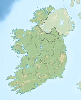
Wicklow Gap (Irish: Bearna Chill Mhantáin)[2] is one of the highest Irish mountain passes served by an asphalted road. It is located in County Wicklow, Ireland.
YouTube Encyclopedic
-
1/3Views:5247377 639
-
Wicklow Gap, Wicklow Mountains Nat'l Park - drone flyover
-
Wicklow Gap - Larragh to Hollywood - GoPro
-
Wicklow Gap CRASH!
Transcription
Geography
The 475-metre (1,558 ft) pass is opened between Tonelagee (Nort east) and Turlough Hill / Camaderry (South). It connects Dunlavin (West) and Glendalough, and with Sally Gap is one of the two road passes crossing the Wicklow Mountains. On clear days it is possible to look from the pass across the Irish Sea and see the mountains of Snowdonia (Wales).[3]
Access to the pass

The scenic R756 road leads to the pass. The road is a popular bicycle ascent;[4] it is considered a category 3 climb by the Tour de France.[5] There is a short road leading from the pass to Turlough Hill, where there is a hydroelectric plant.
Hiking
The pass is located on Saint Kevin's Way, a long distance waymarked walking trail, on its way from Hollywood to Glendalough.[6]
It is possible to reach both Turlough Hill[7] and Tonelagee[8] by foot from the pass.
See also
Notes
- ^ John Christopher, Campbell McCutcheon (2015). Bradshaw's Guide: The Railways of Ireland. Amberley Publishing Limited. ISBN 9781445638836. Retrieved 12 November 2016.
- ^ "An Chonair (Conor Pass)". www.discoverireland.ie. Failte Ireland. Retrieved 10 March 2015.
- ^ "The Wicklow Gap". Retrieved 11 November 2016.
- ^ "Rathdrum - Wicklow Gap / Dublin cycle". cycleireland.ie. Retrieved 11 November 2016.
- ^ "Stage 1 Brief". cyclingnews.com. Retrieved 22 November 2016.
- ^ "RSt Kevins Way - Pilgrim Path". Retrieved 17 November 2016.
- ^ Paddy Dillon (2013). The Mountains of Ireland: A Guide to Walking the Summits. Cicerone Press Limited. p. 27.
- ^ "Tonelagee Mountain". mountainviews.ie. Retrieved 11 November 2016.
External links
![]() Media related to Wicklow Gap at Wikimedia Commons
Media related to Wicklow Gap at Wikimedia Commons
- The Wicklow Gap on visitwicklow.ie

