
| Tuzkol | |
|---|---|
| Тұзкөл | |
 Sentinel-2 picture of the lake in January | |
 Tuzkol | |
| Location | Turgay Depression |
| Coordinates | 53°54′25″N 64°39′38″E / 53.90694°N 64.66056°E |
| Type | Salt lake |
| Basin countries | Kazakhstan |
| Max. length | 2 kilometers (1.2 mi) |
| Max. width | 1.9 kilometers (1.2 mi) |
| Surface area | 2.43 square kilometers (0.94 sq mi) |
| Shore length1 | 7.6 kilometers (4.7 mi) |
| Surface elevation | 90.4 meters (297 ft) |
| Islands | none |
| Settlements | Sosna, Aksuat |
| 1 Shore length is not a well-defined measure. | |
Tuzkol (Kazakh: Тұзкөл) is a salt lake in Mendykara District, Kostanay Region, Kazakhstan.[1][2]
The lake lies roughly 30 kilometers (19 mi) ENE of Borovskoy, the district capital, 10 kilometers (6.2 mi) northeast of Sosna and 1 kilometer (0.62 mi) north of Aksuat.[2][3]
Geography
Tuzkol lies in the Turgay Depression, 50 kilometers (31 mi) to the south of the Kazakhstan–Russia border. Larger Alakol lake is located to the south of the southern shore and Teniz 18 kilometers (11 mi) to the NNW.[citation needed]River Ubagan flows northwards 18 kilometers (11 mi) to the east of Tuzkol's eastern shore. The lake freezes in the winter.[2][1]
The A21 Highway skirts the lake on its southern part.[2]
See also
References
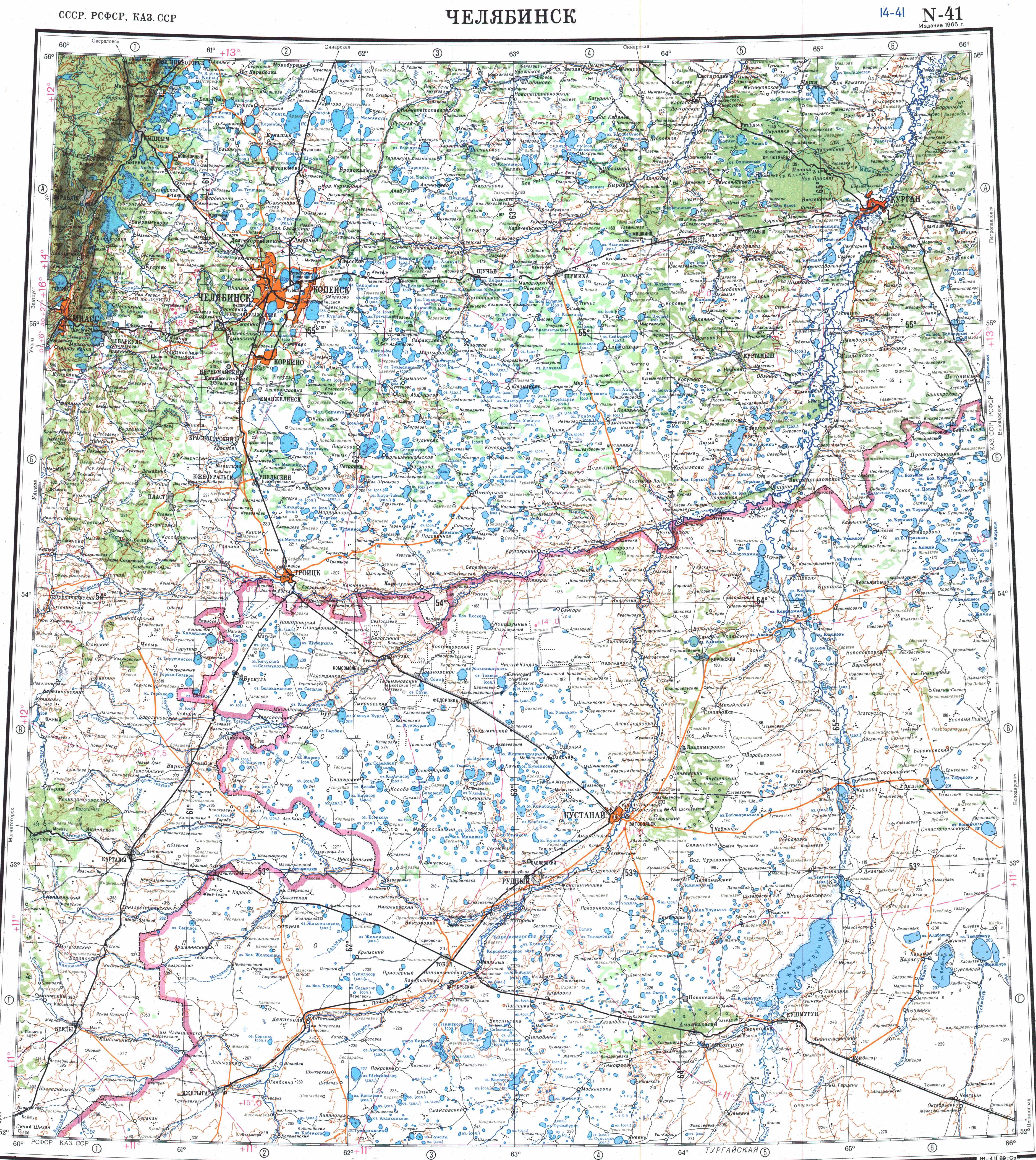
- ^ a b "N-41 Topographic Chart (in Russian)". Retrieved 11 January 2023.
- ^ a b c d Google Earth
- ^ П. П. Филонец, Т. Р. Омаров; Озера Северного, Западного и Восточного Казахстана : (справочник) / ГУГМС при СМ СССР, КазНИГМИ, СГ АН КазССР. — Ленинград : Гидрометеоиздат, 1974. — p. 30.
External links
This Kazakhstan location article is a stub. You can help Wikipedia by expanding it. |