
This is a list of lighthouses in Guatemala.[1][2][3][4]
YouTube Encyclopedic
-
1/3Views:516 24619 381 43653 251
-
10 Most MYSTERIOUS HOLES on Earth!
-
15 Strangest Holes On Earth
-
Top 10 Strangest Holes on Earth
Transcription
Lighthouses
| Name | Image | Year built |
Location & coordinates |
Class of Light | Focal height |
NGA number |
Admiralty number |
Range nml |
|---|---|---|---|---|---|---|---|---|
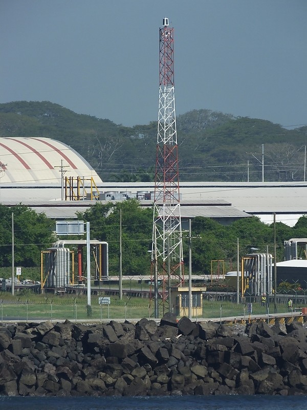
| Cabo Tres Puntas Lighthouse | Image | n/a | Izabal Department 15°57′44.1″N 88°34′18.8″W / 15.962250°N 88.571889°W |
Fl W 3s. | 40 metres (130 ft) | 16424 | J5982 | 17 |
| Ocos Range Front Lighthouse | Image | n/a | Ocos 14°31′49.8″N 92°13′17.9″W / 14.530500°N 92.221639°W |
Fl W 4s. | 15 metres (49 ft) | 15354 | G3397 | n/a |
| Ocos Range Rear Lighthouse | Image Archived 2017-01-31 at the Wayback Machine | n/a | Ocos 14°31′58.7″N 92°13′09.8″W / 14.532972°N 92.219389°W |
Fl W 4s. | 29 metres (95 ft) | 15354.5 | G3397.5 | n/a |
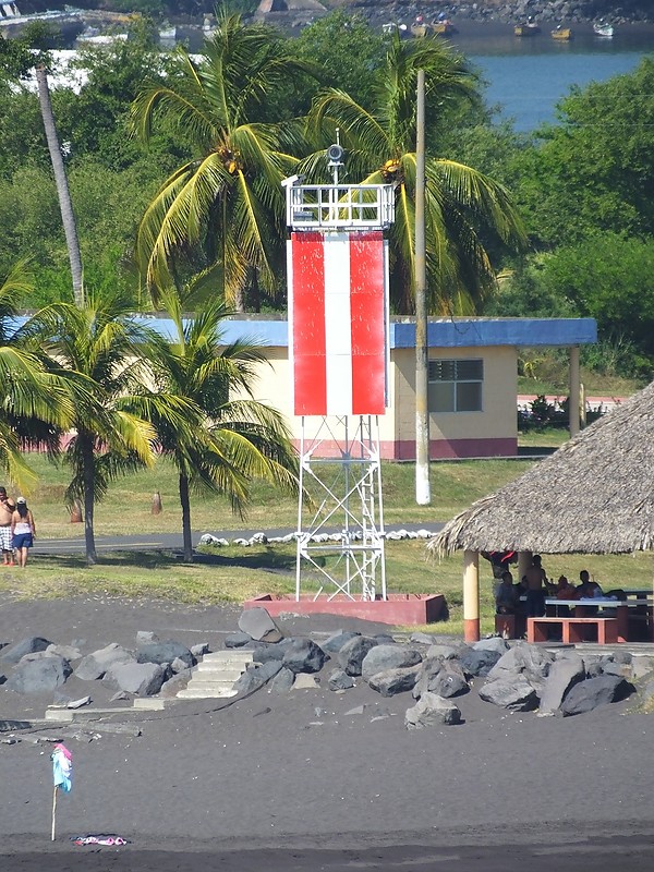
| Porto Quetzal Lighthouse | Image | n/a | Puerto Quetzal 13°55′21.9″N 90°46′54.7″W / 13.922750°N 90.781861°W |
Fl (2) W 5s. | 30 metres (98 ft) | 15363.5 | G3386.6 | 15 |
| Porto Quetzal Entrance Range Front Lighthouse | Image | n/a | Puerto Quetzal 13°55′12.9″N 90°47′31.5″W / 13.920250°N 90.792083°W |
Q W | 13 metres (43 ft) | 15361 | G3385 | 12 |
| Porto Quetzal Entrance Range Rear Lighthouse | Image | n/a | Puerto Quetzal 13°55′15.7″N 90°47′37.9″W / 13.921028°N 90.793861°W |
Oc W 4s. | 18 metres (59 ft) | 15361.5 | G3385.1 | 12 |
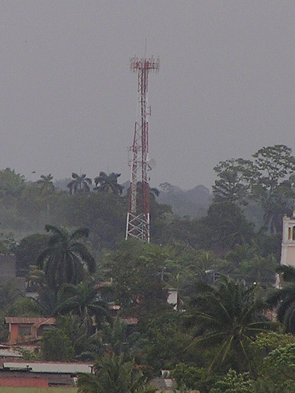
| Puerto Barrios Lighthouse | Image | n/a | Puerto Barrios 15°43′50.9″N 88°35′37.6″W / 15.730806°N 88.593778°W |
Fl W 8s. | ~25 metres (82 ft) | 16418 | J5985 | 25 |
See also
References
- ^ Rowlett, Russ. "Lighthouses of Guatemala: Pacific Coast". The Lighthouse Directory. University of North Carolina at Chapel Hill. Retrieved 2016-09-05.
- ^ Rowlett, Russ. "Lighthouses of Guatemala: Caribbean Coast". The Lighthouse Directory. University of North Carolina at Chapel Hill. Retrieved 2016-09-05.
- ^ List of Lights, Pub. 110: Greenland, The East Coasts of North and South America (Excluding Continental U.S.A. Except the East Coast of Florida) and the West Indies (PDF). List of Lights. United States National Geospatial-Intelligence Agency. 2016.
- ^ List of Lights, Pub. 111: The West Coasts of North and South America (Excluding Continental U.S.A. and Hawaii), Australia, Tasmania, New Zealand, and the Islands of the North and South Pacific Oceans (PDF). List of Lights. United States National Geospatial-Intelligence Agency. 2016.
External links
- Rowlett, Russ. "The Lighthouse Directory". University of North Carolina at Chapel Hill.
| Types |
|  | ||||
|---|---|---|---|---|---|---|
| Fixtures | ||||||
| Maintenance | ||||||
| Locations | ||||||
| Categories | ||||||
| Global organizations | ||||||