
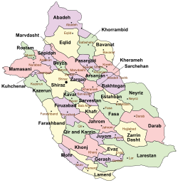
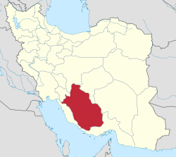
Kuhchenar County (Persian: شهرستان کوهچنار) is in Fars province, Iran.[2] Its capital is the city of Qaemiyeh, whose population at the 2016 National Census was 26,918 in 7,298 households.[3]
History
In 2018, Kuhmareh Rural District, Somghan Rural District, Nowdan, and Qaemiyeh were separated from Kazerun County in the establishment of Kuhchenar County, which was divided into two districts of two rural districts each, with the city of Qaemiyeh as its capital.[4]
Demographics
Administrative divisions
Kuhchenar County's administrative structure is shown in the following table.
| Administrative Divisions |
|---|
| Central District |
| Chenar Shahijan RD |
| Somghan RD |
| Qaemiyeh (city) |
| Kuhmareh District |
| Abu ol Hayat RD |
| Kuhmareh RD |
| Nowdan (city) |
| RD = Rural District |
See also
![]() Media related to Kuhchenar County at Wikimedia Commons
Media related to Kuhchenar County at Wikimedia Commons
References
- ^ OpenStreetMap contributors (23 September 2023). "Kuhchenar County" (Map). OpenStreetMap. Retrieved 23 September 2023.
- ^ "The Kazerun Clashes and the Politics of Splitting up Counties". iranwire.com. Retrieved 7 April 2022.
- ^ "Census of the Islamic Republic of Iran, 1395 (2016)". AMAR (in Persian). The Statistical Center of Iran. p. 07. Archived from the original (Excel) on 6 April 2022. Retrieved 19 December 2022.
- ^ Jahangiri, Ishaq (10 July 2018). "Letter of approval regarding country divisions of Kazerun County of Fars province". Qavanin (in Persian). Ministry of Interior, Board of Ministers. Archived from the original on 21 September 2023. Retrieved 21 September 2023.

This Fars Province location article is a stub. You can help Wikipedia by expanding it. |