
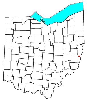
Colerain /ˈkoʊlreɪn/[1] is an unincorporated community in eastern Colerain Township, Belmont County, Ohio, United States.[2] It has a post office with the ZIP code 43916.[3] It lies along U.S. Route 250.
Colerain is part of the Wheeling, WV-OH Metropolitan Statistical Area.
History
The community was named after Coleraine, Northern Ireland, the ancestral home of a share of the first settlers.[4] A post office called Colerain was established in 1825, and remained in operation until 1907.[5] Colerain was originally built up chiefly by Quakers from North Carolina and Virginia, who left those states due to their opposition to slavery.[6]
Notable people
- Josiah Fox, Naval architect
- Fred Negus, Football player
References
- ^ "A Pronunciation Guide to Places in Ohio". E.W.Scripps School of Journalism. Archived from the original on July 25, 2017. Retrieved December 19, 2008.
- ^ U.S. Geological Survey Geographic Names Information System: Colerain, Ohio
- ^ Zip Code Lookup Archived 2007-10-10 at the Wayback Machine
- ^ Overman, William Daniel (1958). Ohio Town Names. Akron, OH: Atlantic Press. p. 31.
- ^ "Belmont County". Jim Forte Postal History. Archived from the original on March 4, 2016. Retrieved January 2, 2016.
- ^ McKelvey, A. T. (1903). Centennial History of Belmont County, Ohio, and Representative Citizens. Biographical Publishing Company. p. 155.
Municipalities and communities of Belmont County, Ohio, United States | ||
|---|---|---|
| Cities |  | |
| Villages | ||
| Townships | ||
| CDPs | ||
| Unincorporated communities |
| |
| Ghost town | ||
| Footnotes | ‡This populated place also has portions in an adjacent county or counties | |
40°07′33″N 80°48′31″W / 40.12583°N 80.80861°W
This Belmont County, Ohio state location article is a stub. You can help Wikipedia by expanding it. |